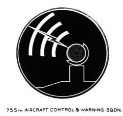
History of Williams Bay AFS, WI
In late 1951 the 755th AC&W Squadron began operating a pair of AN/CPS-6B radars. An AN/FPS-6 height-finder radar was added in 1959. This station ceased operations in January 1960 when the 755th Radar Squadron relocated to the Army radar site at Arlington Heights, IL (MM-4). Williams Bay AFS itself was designated to become a gap-filler radar site, and a new building was built for this purpose at the SW corner of the site; however, it appears that the gap-filler radar was never installed.
References: "Searching the Skies"; misc. ADCOM documents; eyewitness accounts.
Hide
