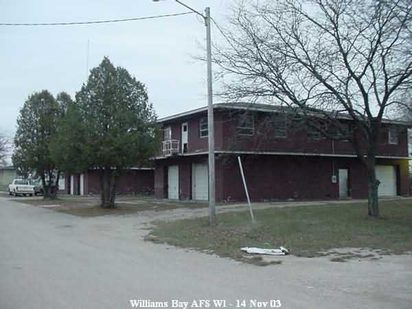
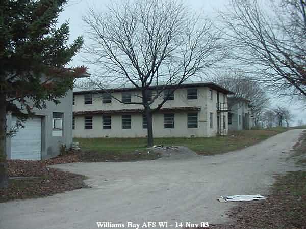
Recent Photos of Williams Bay AFS, WI
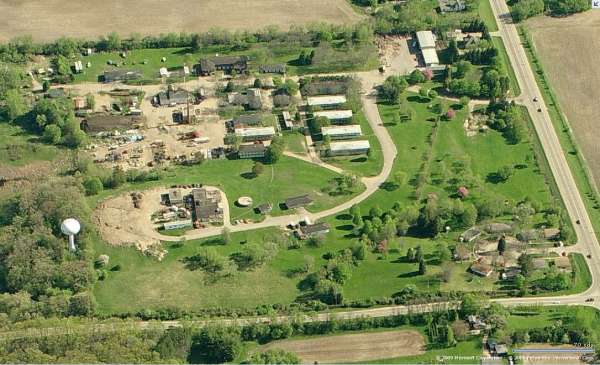
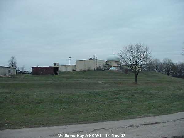
Site, Looking South
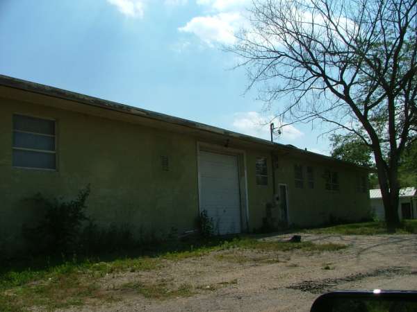
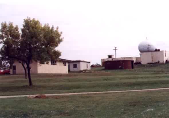
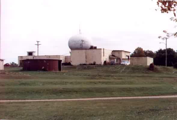
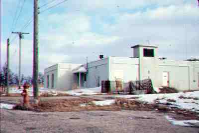
Radar & Ops, Looking North
Radar & Ops, Looking East
Radar & Ops, Looking West
Radar & Ops, Looking West
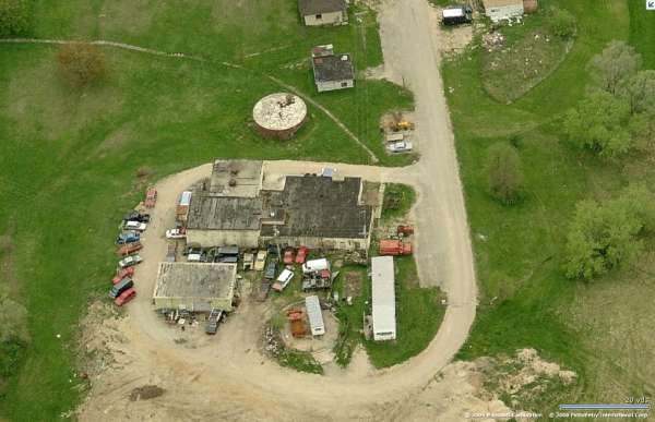
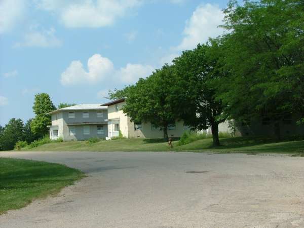
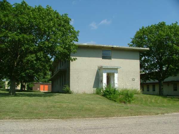
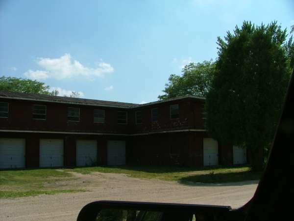
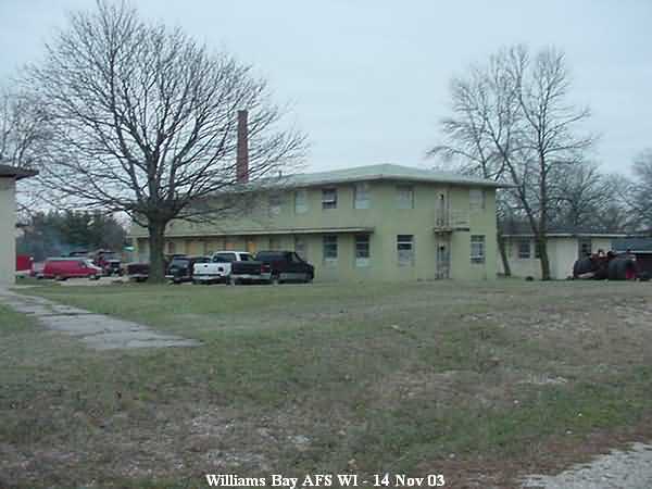
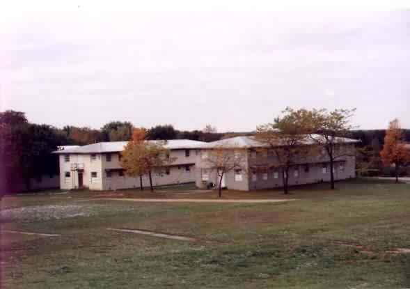
Cantonment Area, Looking North
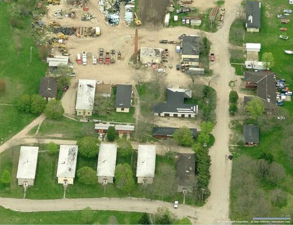
Cantonment Area, Looking East
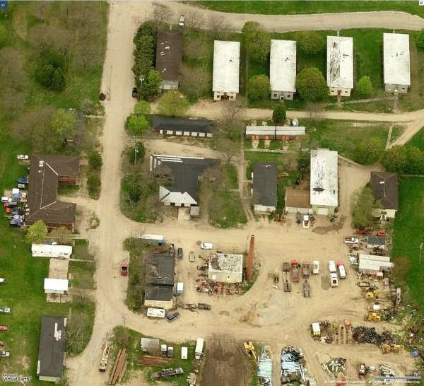
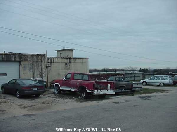
Cantonment Area, Looking West
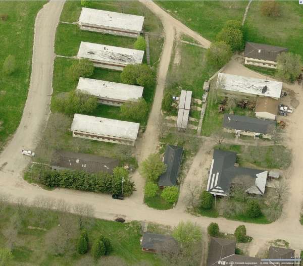
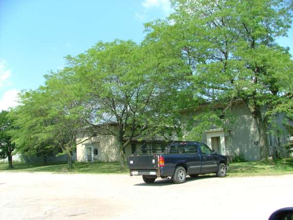
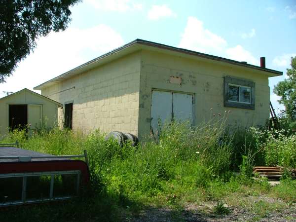
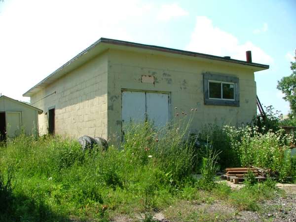
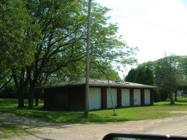
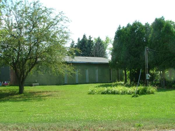
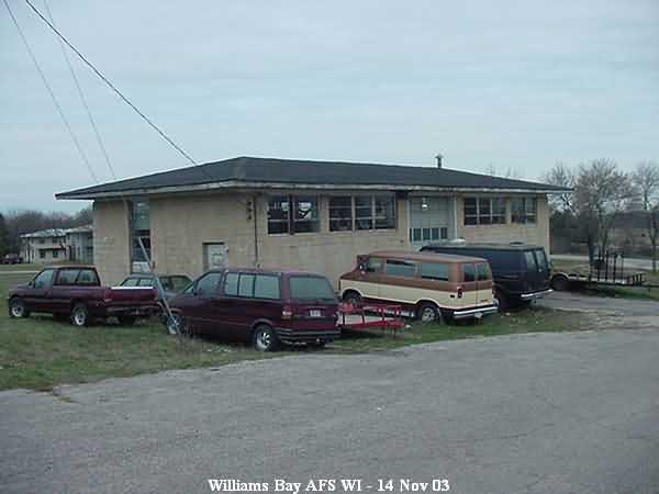
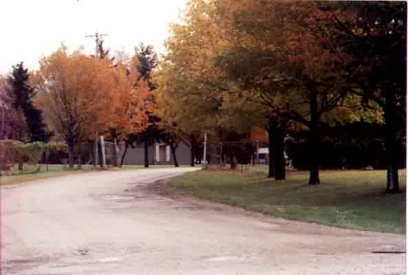
Housing Area, Looking North
Housing Area, Looking East
Housing Area, Looking West
----------------------------------------------------------------------------------------------------------------------------------------------------------------------------
The following five photos were made by Tom Page on 2 June 2024

Former AC&W Radar Operations Building (looking east)
.

Former AC&W Radar Operations Building (looking south-southeast)
.

Foundation for the AN/CPS-6b Search Radar tower (looking west)
.

.
Foundation for the AN/CPS-6b Search Radar tower (looking northwest)
.
.
.
Cable trough for the AN/FPS-6 Height-Finder Radar tower which stood to the north of the Operations Building; there was no sign of its foundations in the underbrush (looking south)
.
July 2006 photos contributed by Bob Davisson
Bob writes:Sunday 9 July, my wife and I took a 40 mile drive (We live in Milwaukee.) out to Williams Bay to visit her parents grave sites (My wife is from Elkhorn which is four miles north of the base.)in the little local cemetery about a mile from my old "stompin` grounds", the site of the "Seven Double Nickel".
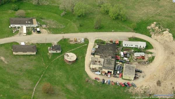
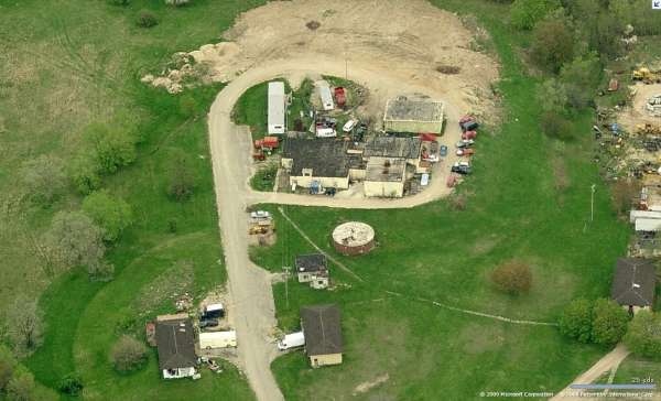
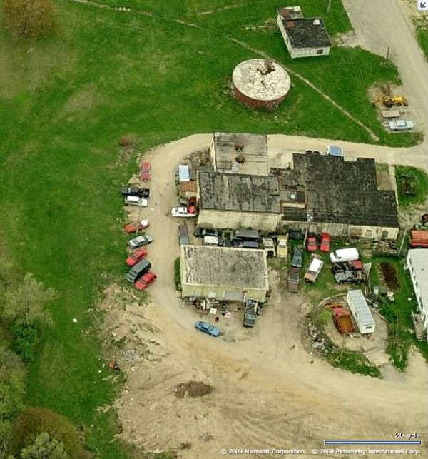
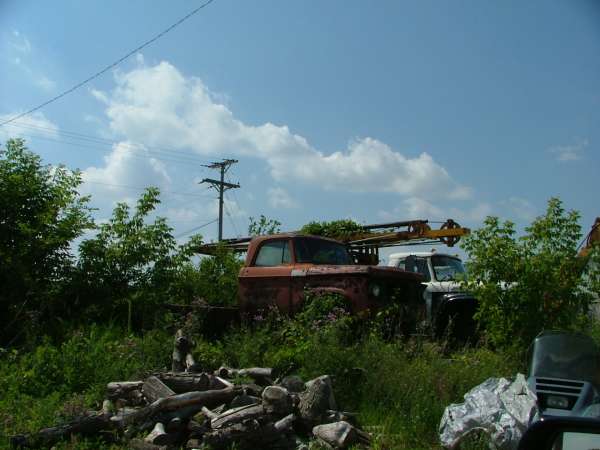
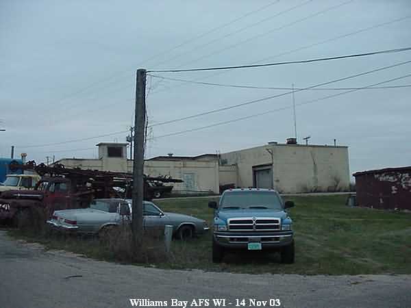
It`s sad to see how the continual deterioration of the site is progressing ....... It`s turned into a real junk yard. 8>(
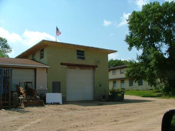
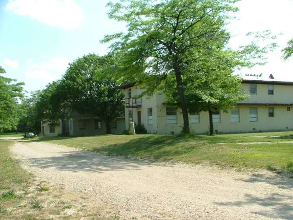
You may remember that the property is currently owned by Walworth County and was supposed to become an "Industrial Park" development. They put overhead doors in almost all of the buildings, including the Orderly Room and the Mess Hall. Well, the whole place is now littered with junk vehicles and overgrown with weeds. What used to be open fields and grass on base is now all filled in with mature trees.
In 2003 you posted some general area pix of the base taken by Scott Murdock. Basically, I duplicated these pix in more detail yesterday.
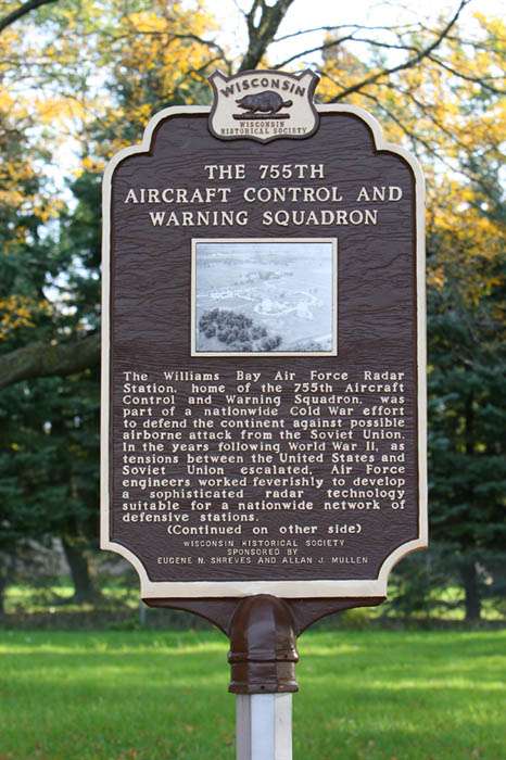
However, the big surprise we found was a new roadside sign just before the base which reads, "HISTORICAL MARKER NEXT ROAD LEFT."
The "next road" is the entrance to the base area. About 100 feet in is a newly installed Wisconsin Historical Society Marker honoring the 755. It was sponsored by two former RADAR Operations types who settled locally after their hitch as I did. Of course, with my luck, you probably already know about it. Although, I don`t see pix of it posted on your 755 link.
The marker is about 75 feet west of the old HF/VHF Radio Transmitter building. It is seen in the background. For fun, compare this pic to the black/white pic I sent a few years. In 1954 I took a photo of the Transmitter Building from my barracks looking southwest with airmen`s cars parked in the foreground.
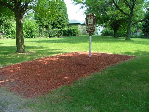
The historical marker - also see Carrie`s photos below.
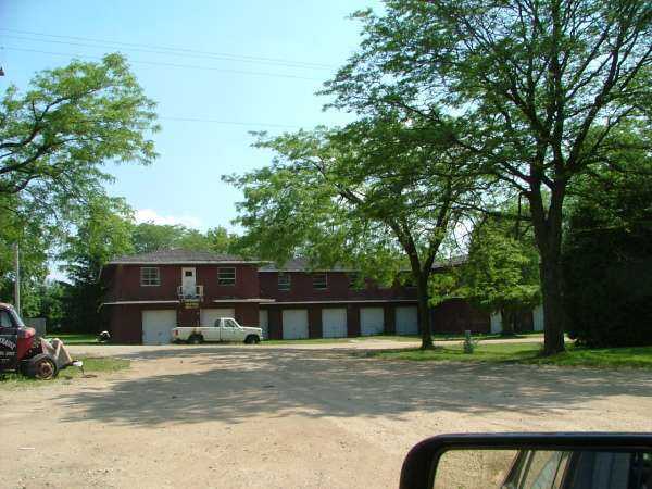
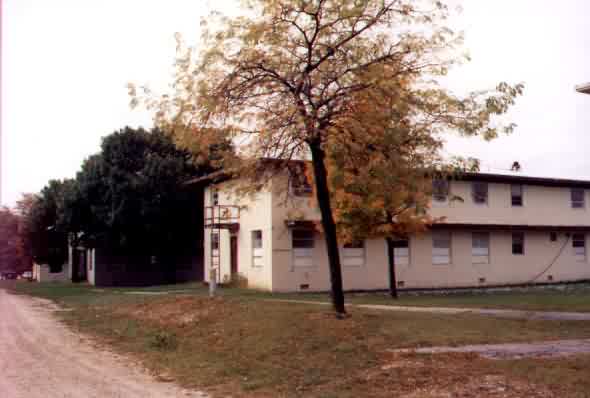
Barracks row looking North.
Barracks row looking North.
Mail room and PX looking North.
Mess hall looking North.

Mess hall looking North.
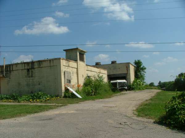
Steam heat plant looking North to the RADAR Ops building "on the hill".
Use in 1954 - 1956 unknown to me.
Barracks
Barracks
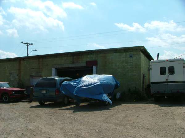
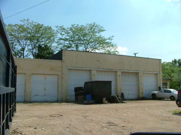
RADAR Ops building. Now an auto repair garage? Looking West.
Radar Ops building.
Radar Ops building.
Radar Ops building.
One of the two radome concrete pads next to the Ops building is now used for vehicle storage. Looking West.
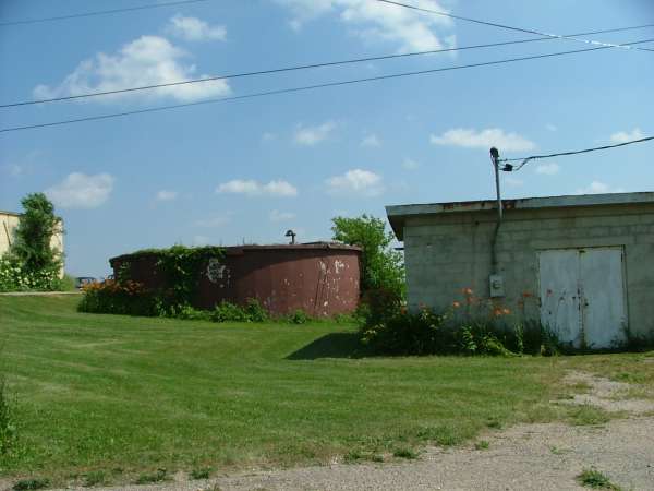
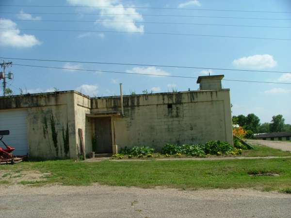
Well building and water tank. Looking South.
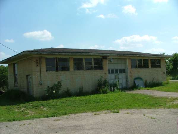
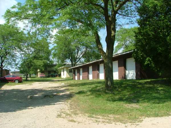
Supply and storage building. Looking South.

Barracks area looking East.
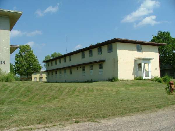
Barracks.
Barracks.
HF/VHF Radio receiver building. This is where I spent many a long night (1954 - 1956) trying to stay awake. My AFSC was 29351, Ground Point-To-Point Radio Operator. As you know, we worked the radio back up net and handled the initial call ups from the F-86 boys out of O`Hare and Truax.
HF/VHF Radio receiver building.
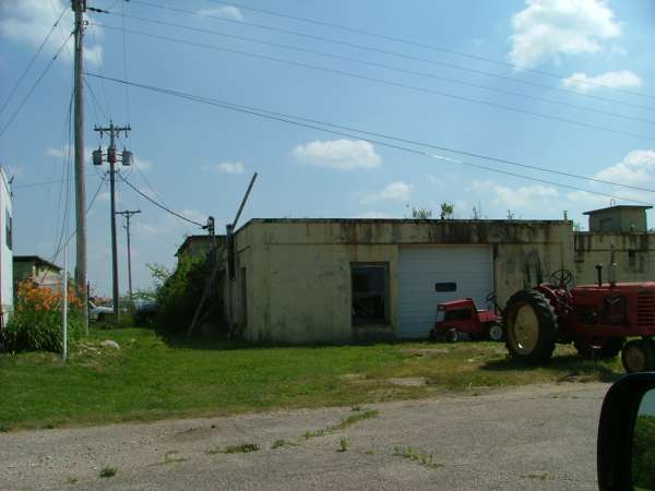
Base carpenter shop. This was where a small crew of civilians worked out of. They did the base carpenter, painting and plumbing maintenance.
Motor pool. Looking South.
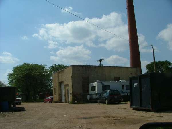
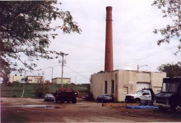
Steam heat plant. Looking West.
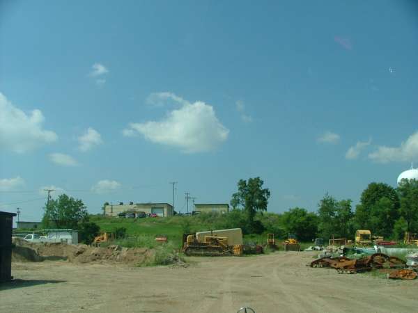
RADAR Ops "up on the hill". Looking North.
The BOQ. Looking South.
The BOQ. Looking South.
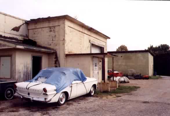
The Orderly Room. Looking West. Here`s an example of how almost all of the buildings had overhead garage doors installed. This was to set up the buildings for use as an "industrial park".
The HF/VHF Radio transmitter building out near the entrance where the newly installed Historical Marker is located. Looking Southwest.
A final note ..... Originally, the Transmitter building was about one half block North of the AP shack at the Main Gate. See my B/W pic posted on the 755 link and dated 1954.
When the 755 was relocated to O"Hare (Arlington Heights, IL) in 1960, a Gap Filler Annex building was erected on the site of the original Main Gate. At that time, the entrance off State Highway 67 was relocated about one block North where it is now. Today, this building is an attractive well kept private residence. I did not take a pic of it ..... probably should have.
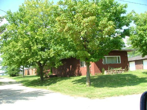
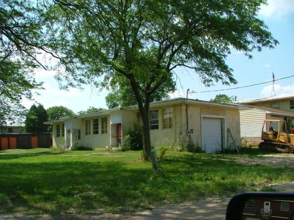
Also, I did not take any pix of the old base "key personnel" housing located in the Northwest corner of the base. They are all still in use as private residences. I`ll try to catch these "next time".
2006 photos contributed by Carrie Rasberry
Detail of photo on plaque.
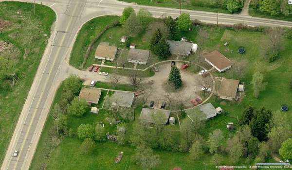
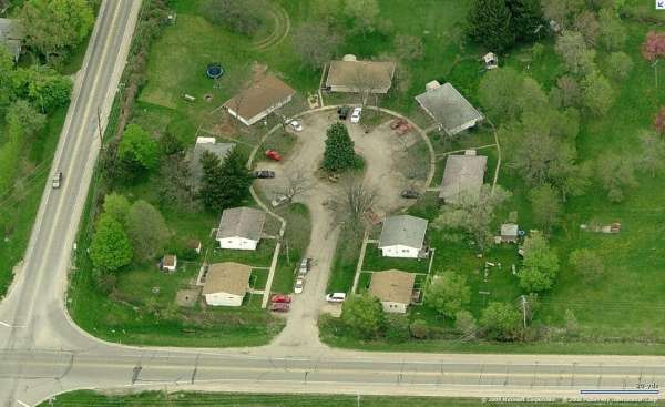
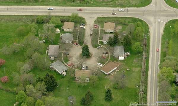
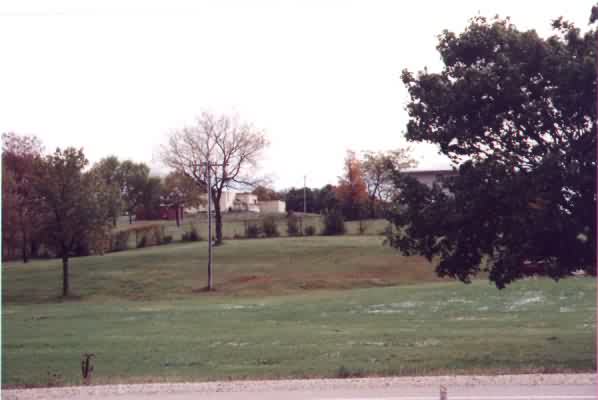
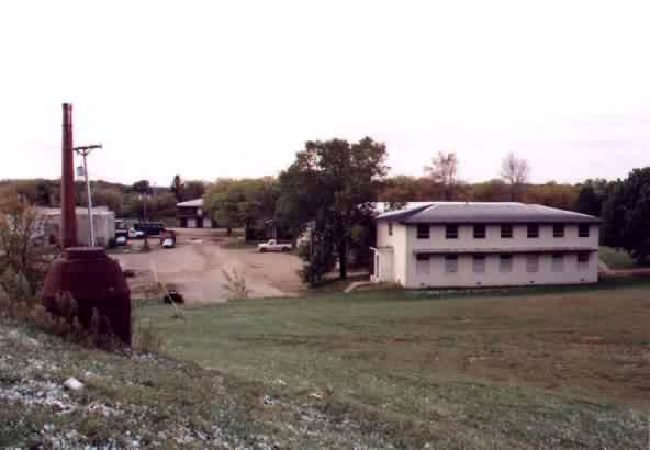
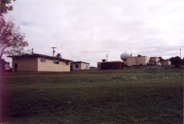
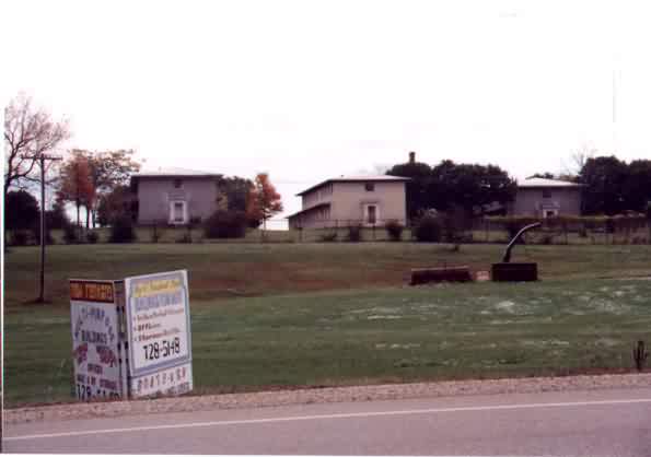
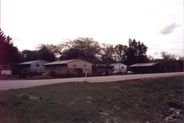
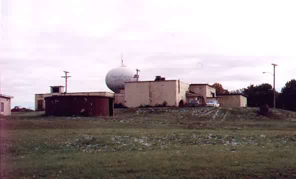
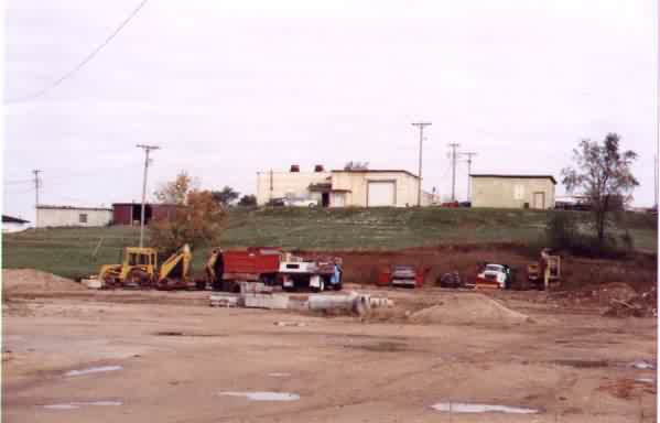
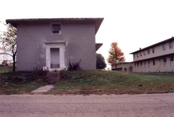
November 2003 photos contributed by Scott Murdock

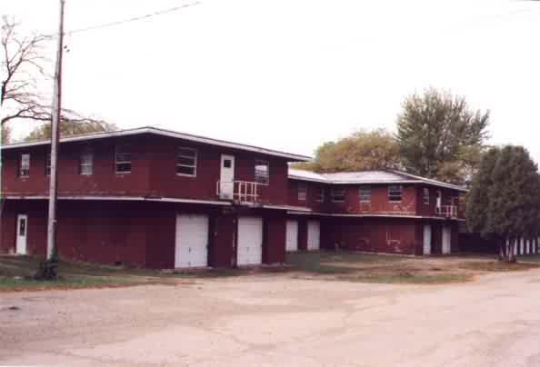
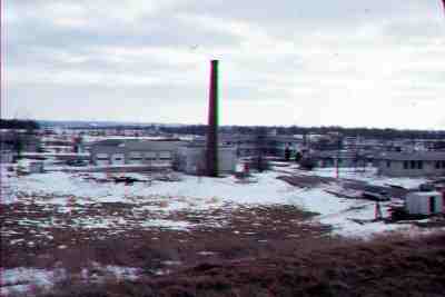
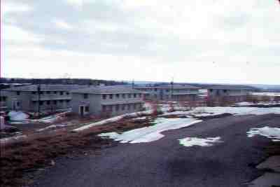
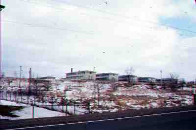
October 2000 photos by Bill Streicher contributed by Carrie Rasberry
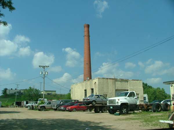
Bill writes: The station is right off of Hwy 67 - the instructions to get to it on your site are great! It is now called the Highway 67 Industrial Park. Some of the buildings are occupied by small businesses, while the barracks buildings for the most part look deserted. The area is in not the best of shape, but recognizable. On the hill where the radar was located, there are old cars, buildings and someone`s mobile home. There is a great view of the countryside to the west from the hill. Located next to the hill is a water tower for the Geneva Lakes Golf Course. The old base housing area is to the west, on the other side of the rusty barbed wire fence (around 8 homes or so), are occupied.
View from the highway
View from the hill
Looking at hill
Highway 67 industrial park

Submitted by Chuck Rowland
The following photos, c. 1977, are of the 755th after deactivation. Chuck emails:"Didn`t go on the property itself. Understand it was being used as an "honor farm" within the criminal justice system in Wisconsin, primarily for youthful offenders. (Come to think of it, some of our AF troops felt that way at times.) Best located radar site the AF ever came up with, actually. Loved that place; hence, my two tours there (pre & post TT2)."
 |
Squadron Area |
 |
Barracks |
 |
Barracks |
 |
Base Ops |
