Recent Photos of Yaak AFS, MT
-----------------------------------------------------------------------------------------------------------------------------------------------------------------
The following photos were taken by Tom Page on 19 June 2018. All photos were taken at the top of Hensley Hill where the AC&W Radar Site / Operations area was located. Nothing remains down below at the cantonment area and the housing area except for mostly-empty fields. Little remains at the top as well --- just a few foundations and the roads. The first image below shows side-by-side aerial images of the radar site in 1954 and in 2014; the numbers correspond to the photos, as indicated.

Location #1 was the AN/FPS-3 search radar arctic tower location (the radome in the 1954 image is fairly clear). Location #2 is unknown, but might have been the Materiel Control building. Location #3 appears to have been the AC&W Operations building, with possibly the diesel Power Plant building next to it. Location #4 is unknown. Location #5 appears to have been one of the manual Ground/Air/Ground (G/A/G) Radio buildings, maybe the Radio Receiver site. Location #6 appears to have been where one of the steel temperate height-finder radar towers stood, either the AN/FPS-4 or the AN/FPS-6. Location #7 appears to have been where the other manual G/A/G Radio building stood, maybe the Radio Transmitter site. Finally, the 'x' denotes the spot where the road to the second Radio site branches off from the main access road. Comments and corrections are welcome.
.

Location #1: A view of where the AN/FPS-3 search radar tower apparently once stood (looking north)
.

Location #1: Another view of where the search radar tower apparently once stood, plus the top of the site road (looking north-northeast)
.

Location #1: One more view of where the search radar tower apparently once stood. A cluster of four bolts protrude from the ground near the right center; possibly those bolts were part of the antenna support in the tower's center? See next photo for a close-up. (looking south)
.

Location #1: Cluster of bolts protruding from the ground where the search radar tower once stood
.

Location #2: Unknown building stood here, maybe the Materiel Control building? (looking west)
.

Location #3: The AC&W Operations building is believed to have been located here, and possibly the diesel Power Plant building, too (looking west)
.

Location #4: Another unknown building stood here (looking west)
.

Location #5: One of the manual G/A/G Radio buildings is believed to have stood here, maybe the Radio Receiver building? (looking west)
.

Location #6: Foundations of what appears to have been a four-legged, steel, temperate-style radar tower, most likely for either the AN/GPS-3, AN/FPS-4, or AN/FPS-6 height-finder radar (looking down from the main access road above; looking north-northeast)
.

Location #6: One of the four foundations for the supposed AN/GPS-3 search radar tower or one of the height-finder radar towers
.

Location #7: The other manual G/A/G Radio building likely stood here, maybe the Radio Transmitter building? (looking north)
.

Location x: The road to the southern-most of the two manual G/A/G Radio sites branches off to the left (east) from the main site access road (looking south)
.

The main access road near the radar site's hilltop location, looking downhill (looking south-southwest)
.-----------------------------------------------------------------------------------------------------------------------------------------------------------------
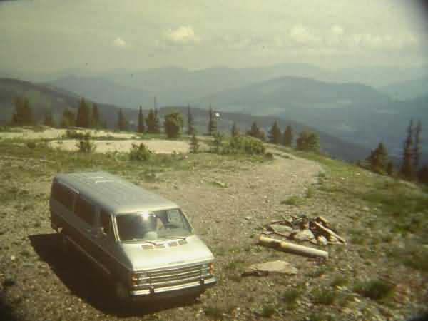
Recent (1984) photos taken by Neal Milligan former Tech Rep at Yaak AFS. Neal was at Yaak 1952-1954 period, and has revisited the site several times since then.

..........................................................................................................................................................................
Undated recent photo by an unknown photographer of the Hensley Hill summit where the radars of Yaak AFS were located:

source: https://www.pinterest.com/pin/498351514990487728/
..........................................................................................................................................................................................................
September 2010

source: http://advrider.com/index.php?threads/yaak-because-ive-never-been-there.620297/
Displayed for historical / non-commercial purposes only