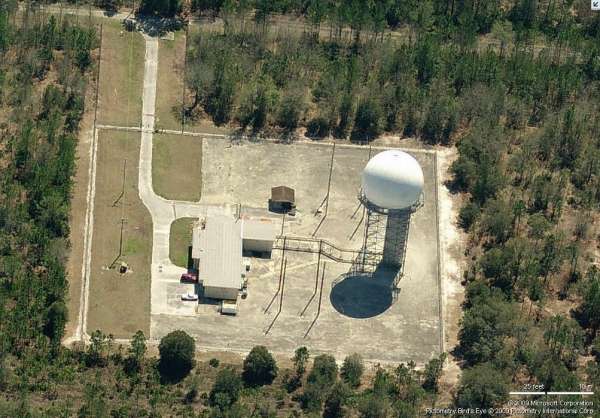
Recent Photos of Whitehouse (Jacksonville), FL
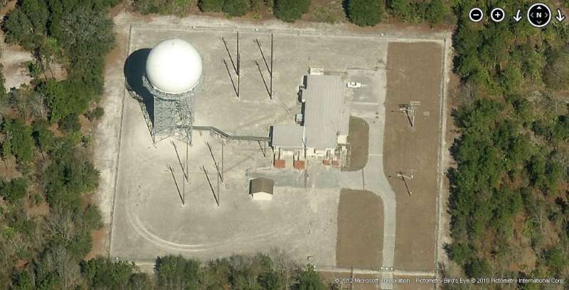
2012 image looking North

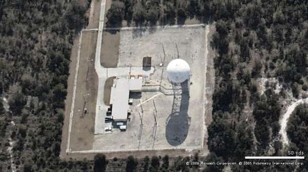
2009 photo - Looking North
2012 image looking East
2009 photo - Looking East
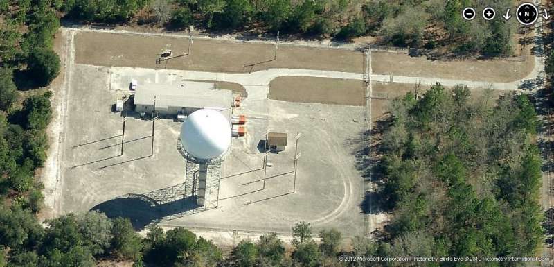
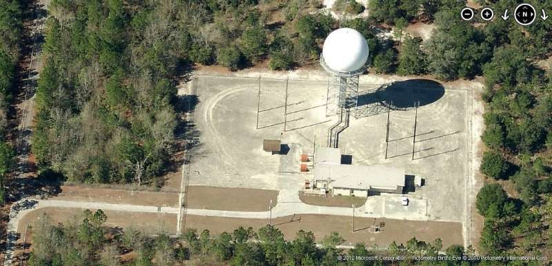
2012 image looking South
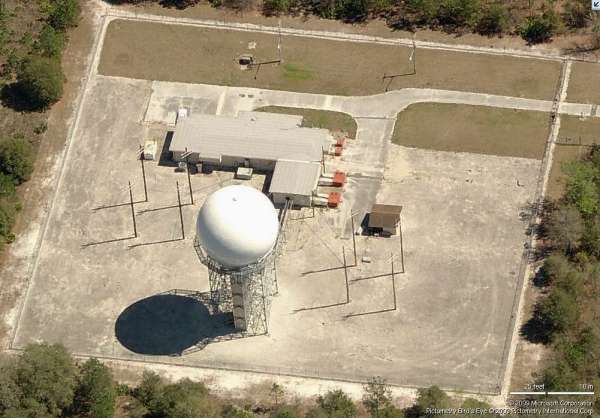
2009 photo - Looking South
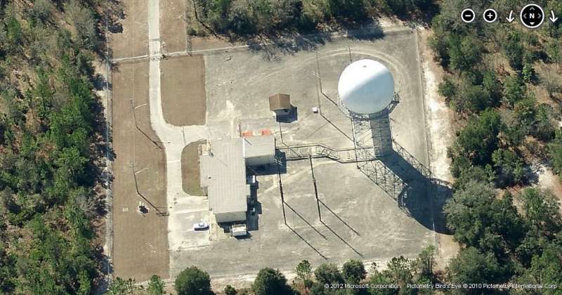
Looking South
2012 image looking West

2009 photo - Looking West
March 2001
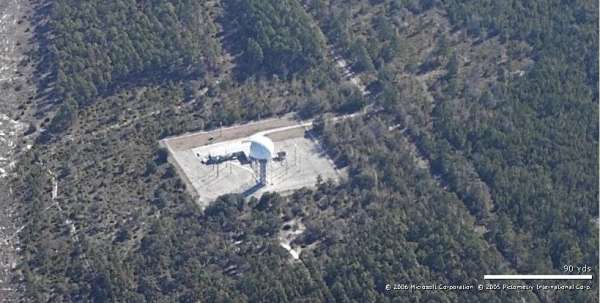
ARSR site, East
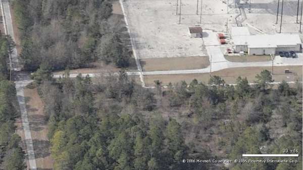
ARSR site, West (partial)
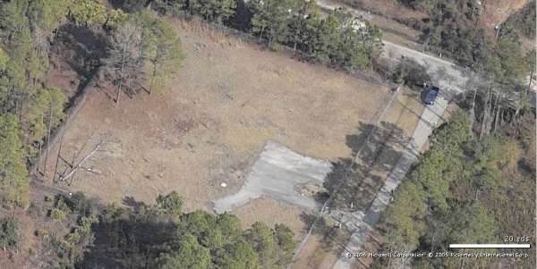
Location of former AN/FPS-116 height finder, North
Location of former AN/FPS-116 height finder, West
contributed by George Vondette

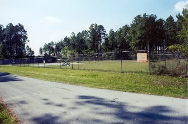
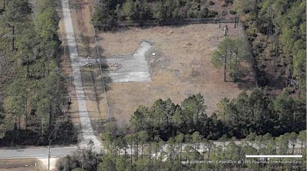
The left of the picture shows a stand of trees that fall off abruptly to three shorter trees that form a stair-step effect. Look just to the left of these three shorter trees and you`ll see the FAA radar tower. The piece of metal in the empty lot appears to be part of an antenna or antenna support. The slab was probably used for a parking lot, while the sign contains the usual "stay out" warning.