Recent Photos of Wenatchee GFA, WA
Dick writes:
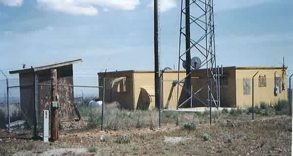
As stated in the FUDS report, Motorola used the building after deactivation by the Air Force. The buiding is still in use, and is in good condition. A new antenna tower is mounted on it`s own new footings.
The road to the site is passable and I made it in my Honda Accord, but it is deeply rutted and sagebrush encroaches from the sides, and there are several cattle guards to cross on the way in. I`d take my pickup next time. No fences or gates to open or close, though.
The three original sheetmetal vents were removed from the building and are sitting in a pile in the south west corner of the security fence, along with what appears to be one of the original tower footings, which has been dug up and is sitting on the ground.
The building is in very good repair, with plywood covering the areas where the vents were located. The door is fitted with what appears to be a modern electronic combination lock, and the wall is fitted with a newer-style ventillation fan, which was running when I was there. Newer power poles supply the site from east.
The security fence and gate are in excellent condition, and the sagebrush near the fence has been sprayed and killed to prevent encroachment. The dead sagebrush has not been removed, and I had to brush past it in order to walk around the fence.
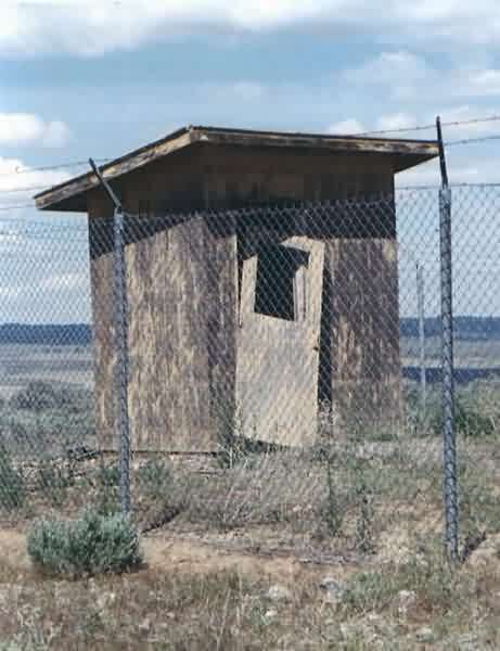
The old sanitary latrine is still intact, but is in a decrepit condition, with peeling mustard yellow paint the same color as the building.
I spoke with the ranch owner of the property where the gap filler is located, as I passed him and three other guys on the road as I was trying to locate the building. He was hesitant when I introduced myself and asked him where the building was located, but after I explained my interest in seeing it, and what it was originally used for, he warmed right up. He remembered the Air Force crews coming in to maintain the radar, that the tower and antenna were removed after deactivation, and that the building was used by Motorola afterwards.
There are curently three other buildings and several antennas close by, situated outside the security fence. Two cellular buildings are small, and the third is of good size, comparable to the old Air Force building.
The view to the west is fabulous; you look down to the river and the towns located on the river, and across to the mountains in the distance. The road from the highway starts out identified as Eastmont, and then Lower Badger Mountain Road as it winds from the river to the top of the mountain. It`s more of a long ridge than a mountain, and the county is in the process of straightening and widening the road, so I drove part of the way on gravel and dirt among large earthmovers, caterpillar bulldozers, water trucks, etc.
A road identified as Road 5 SW, also known as Bromely Road, connects the Lower Badger Mountain Road to the access road going to the gap filler. The access road is partly the road leading to the rancher`s new home and an older, unoccupied farm house.
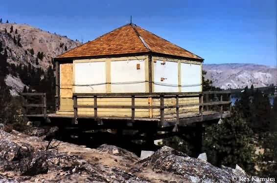
A couple of views of the south side
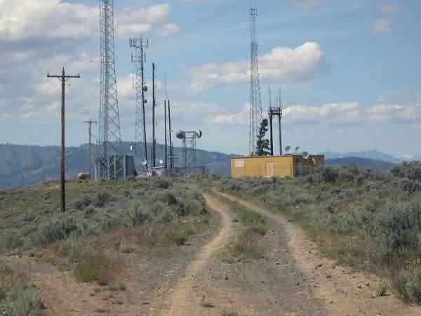
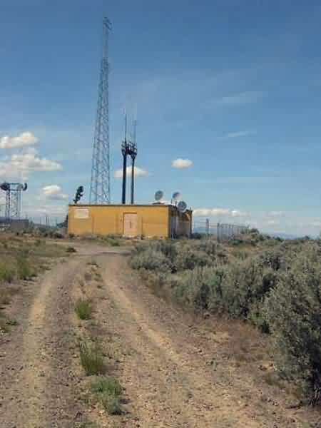
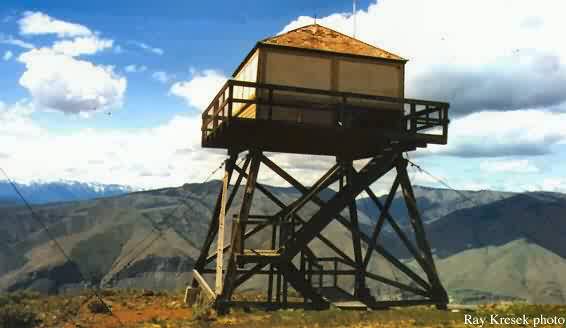
Photo source: Fire Lookout Museum and Rex Kamstra
Tom Page comments:
The GFA radar site was on the higher ground to the SE. I am guessing the view in the first enclosed photo is looking west. The second, though, appears to be looking southeast, towards the ridge (far left, top) where we believe the radar facility was (?).