Recent Photos of Wadena AFS, MN
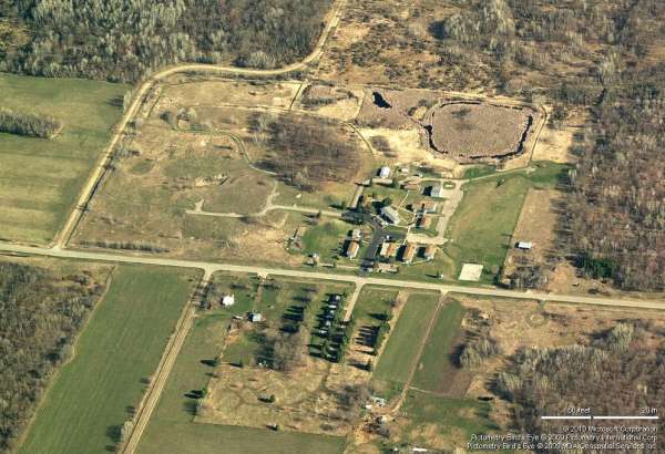
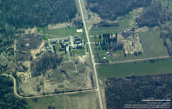
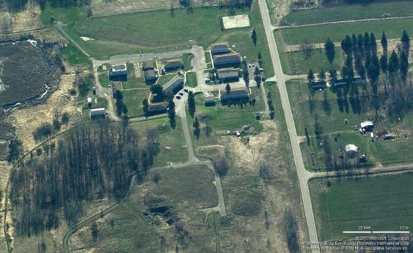
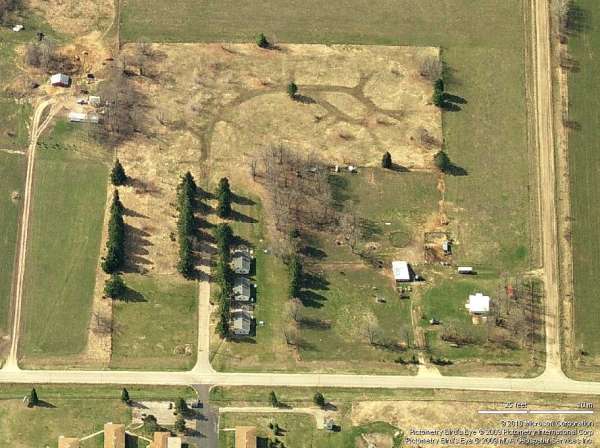
Bing Maps "Bird's Eye" View, Looking North
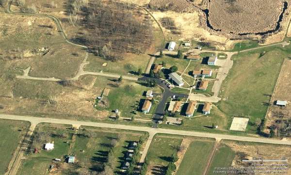
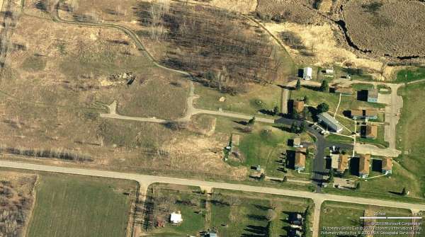
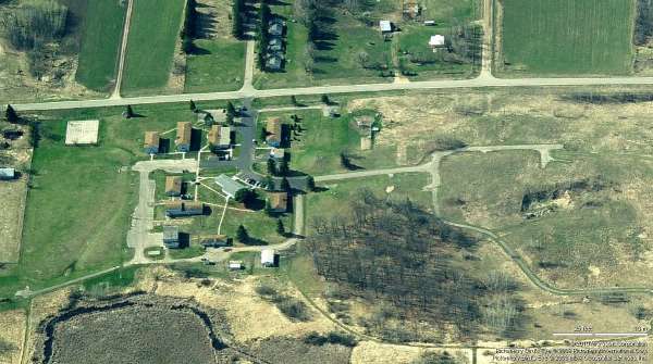
Bing Maps "Bird's Eye" View, Looking North
-----------------------------------------------------------------------------------------------------------------------------------------------------------------------
The following seven photos were made by Tom Page on 24 September 2021:

This first photo shows two former barracks buildings and another building alongside the main road on the site's south side (east corner). [looking southeast]
.

This photo shows another barracks building and another building alongside the main road on the site's south side (near the site's center). [looking southwest]
.

This photo shows the hill top where the Operations building and the three radar towers once stood. [looking west]
.

This photo shows the cantonment area, as viewed from the hill top. [looking east]
.

This photo shows the one remaining cable trough, for the height-finder radar tower that once stood on the south side of the Operations area, where it crosses the road. This cable trough and the roads themselves, plus some concrete rubble (next photo) are about the only things that remain for this former radar site's technical area. [looking north]
.

This photo shows a large pile of concrete rubble of the north side of the technical area hill top. It is surmised that these are the remains of the Operations building and other buildings that once stood on the hill top. [looking north]
.

This final photo shows the remaining three houses in the former Air Force family-housing area that stood directly across the main east-west road, as viewed from the former cantonment area. There were once 27 houses here, the standard number for ADC radar stations (although a few sites had less, and a few sites had more). These three houses appeared to be occupied. [looking south-southeast]
.
-----------------------------------------------------------------------------------------------------------------------------------------------------------------------
The following four photos are courtesy of the Bell Hill Recovery Center, Wadena, MN - http://www.bellhill.org/index.html


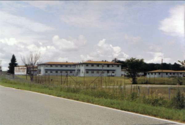
Same barracks view as below, date unknown. Looking WNW.
October 2000 photos contributed by John Zimmerman
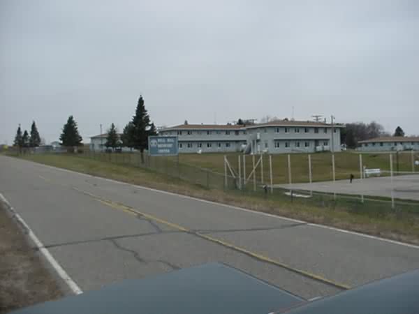
The former Wadena AFS now appears to be an "at-risk" teen establishment. Looking WNW.
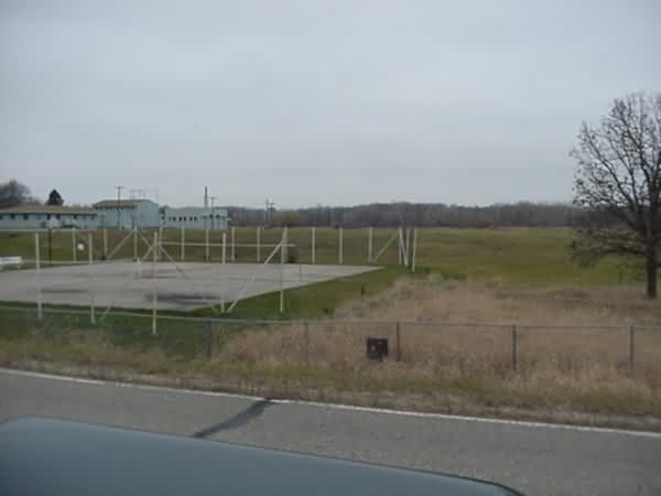
East edge of perimeter, looking NNW.

West edge of buildings, just south of mound for radars (no support mounts seen from road, fence still continues around the entire property) looking ENE.