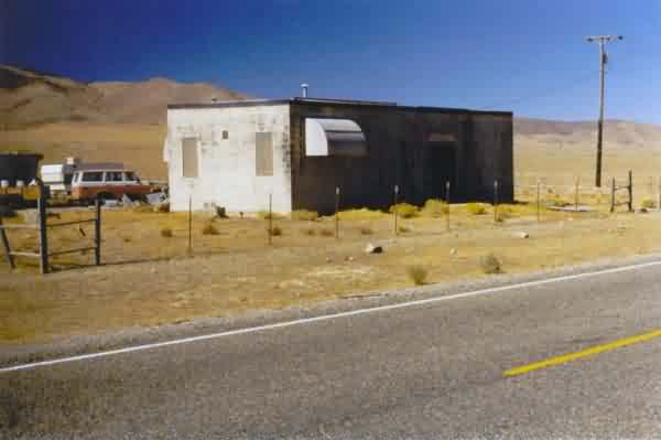
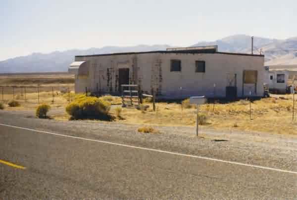
This photo shows the Unionville GFA immediately to the west of SR 400. The building appears to be privately owned now. [looking south]
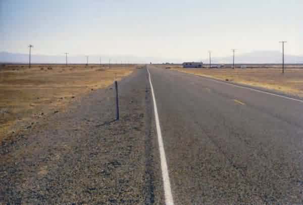
Contrary to what is stated in Formerly-Used Defense Site (FUDS) report # J09NV0985 (1991), this former gap-filler radar annex is still extant. It is located right alongside State Route 400 a few miles north of Unionville.
This photo shows the Unionville GFA immediately to the west of SR 400. The building appears to be privately owned now. [looking south]
This photo shows the former GFA building and the three radar-tower foundations to its left (south). SR 400 is in the foreground. [looking northwest]
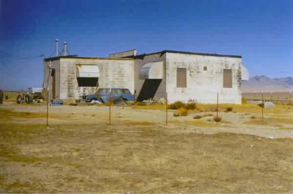
This photo shows the rear of the building. The radar-equipment section is on the right, and the diesel-generator wing is on the left (west). The three radar-tower foundations are visible to the far right (south). [looking northeast]
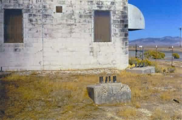
This photo shows the gap-filler building and the three radar-tower foundations / footings. [looking north-northeast]
This photo shows the east and north side of the former GFA building; the diesel-generator wing extends to the right (west). [looking southwest]
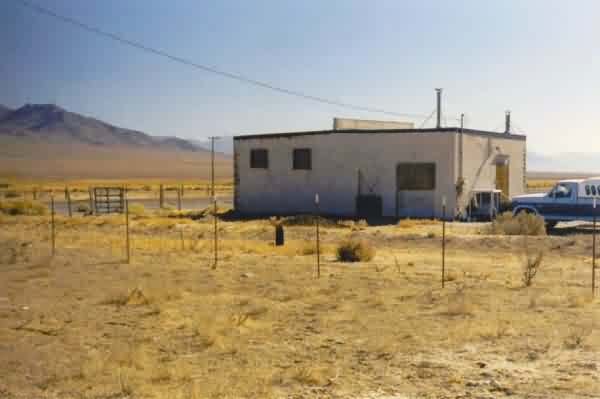
This final photo shows the north side of the former GFA building; the diesel-generator wing extends to the right (west). [looking southeast]