Recent Photos of Ulysses, PA GFA, P-30E
August 2010 photos contributed by Tom Page
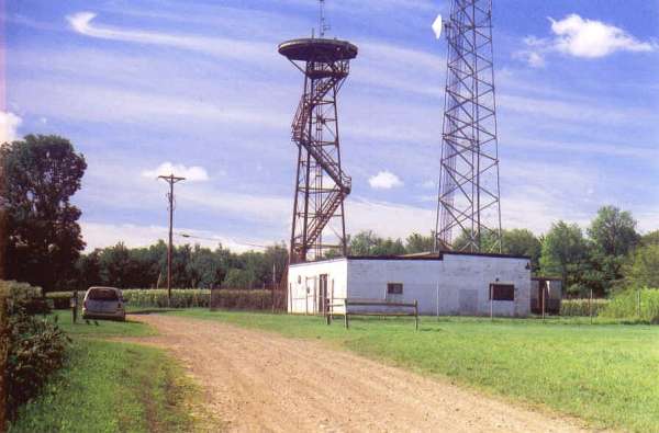
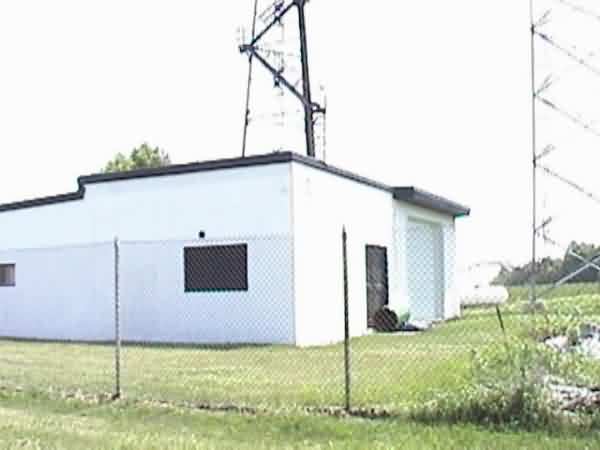
The north side and the front (east side) of the radar building. [looking south]
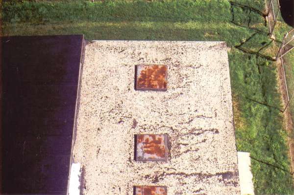
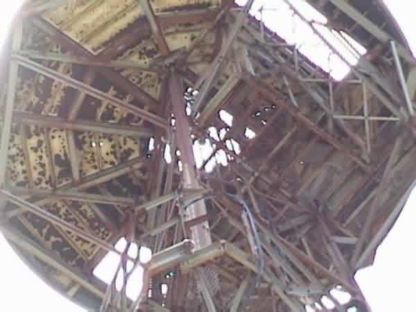
The roof of the radar building, as seen from the top of the radar tower. [looking down; north at the top]
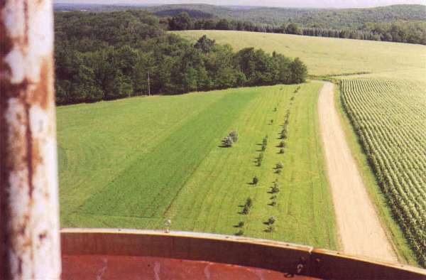
View from the top of the radar tower. [looking north]
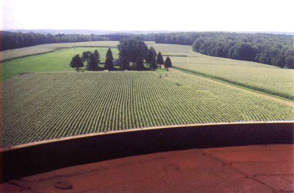
View from the top of the radar tower. [looking southeast]
June, 2001 photos & notes contributed by Kevin Hritz, W3QD
Kevin writes:
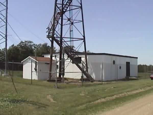
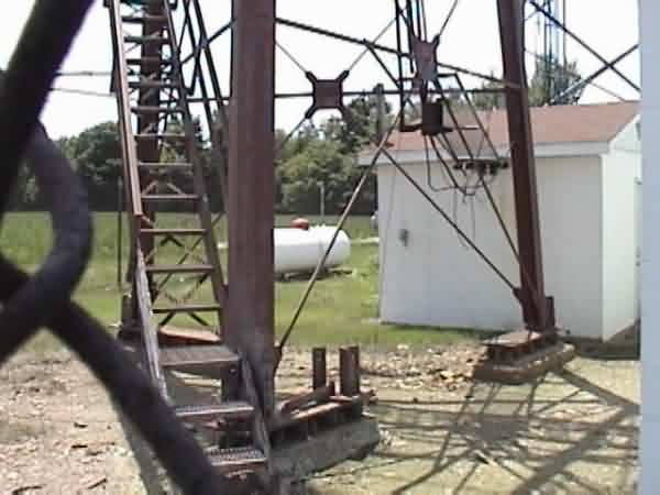
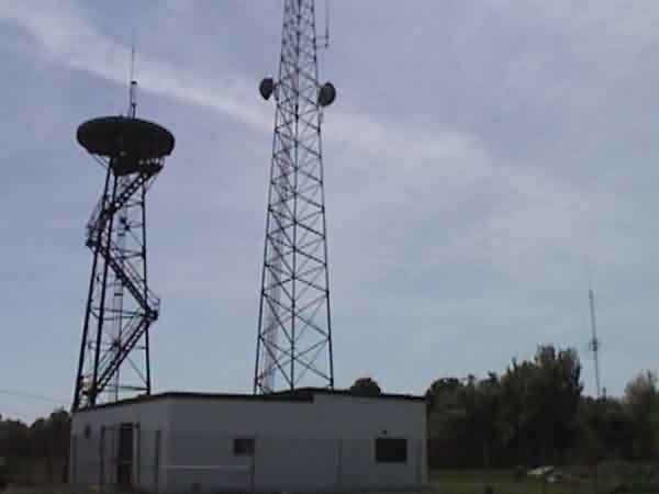
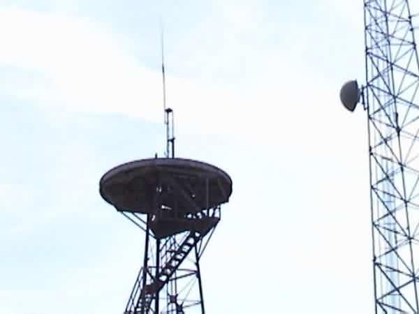
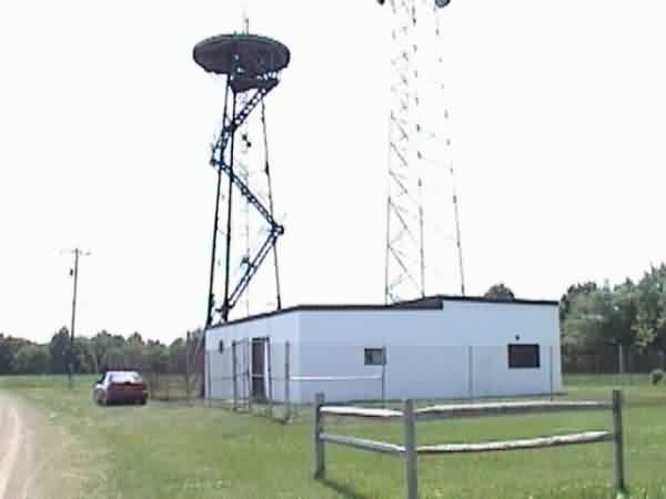
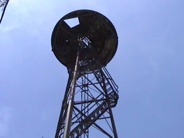
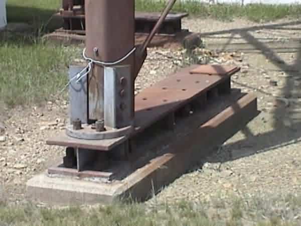
What looks to be the original chain fence
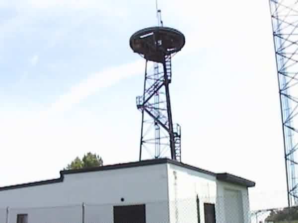
still surrounds the complex. The radome support tower, which hasn`t been
painted in a while no longer has the Fiberglas dome in place. There are no
signs of the original radar antenna on site. The place is now used for
commercial/amateur VHF/UHF mountaintop remote base and repeater operations.
The site actually has no access road. P30-E is located right along a
Ulysses Township road call Bailey Hill (T-459) and is easily accessible from US RT-6 or RT-49.
The site is approximately 2 miles southeast of Ulysses, PA. The site elevation is over 2400`
above MSL and there are empty fields of hay all around to the East and a tree line to the West
and South. Visibility is excellent all around. The Air Force sure picked a good spot for this
gap filler!
While locked on to six (6) GPS satellites, I arrived at these coordinates with my GPS receiver
right above the UGS benchmark near the tower:
41deg 52` 48" N
77deg 42` 51" W
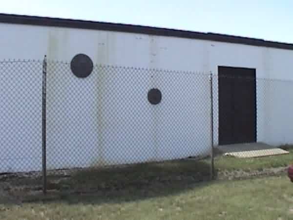
It looks to me like the present owners took down the GOVT warning signs and
put up their own No Trespassing signs along with some funky sun faces on the side of the
building.