Recent Photos of Tonopah AFS, NV
Photo source: http://www.lazygranch.com/ttr.htm
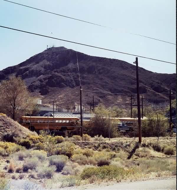
Cantonment area
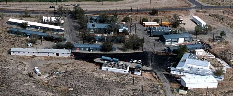
Cantonment area
October 2002 photos & notes by Tom Page
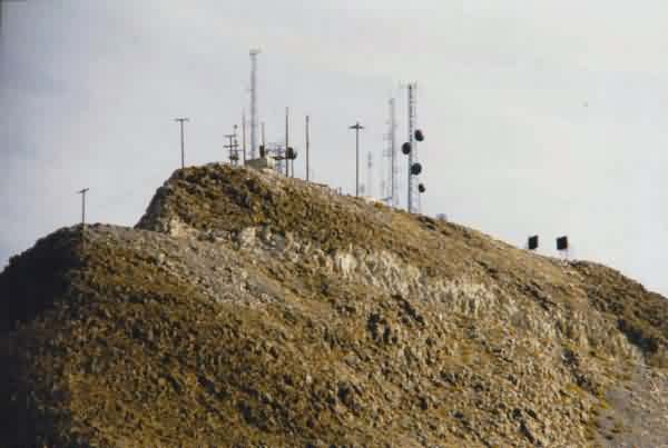
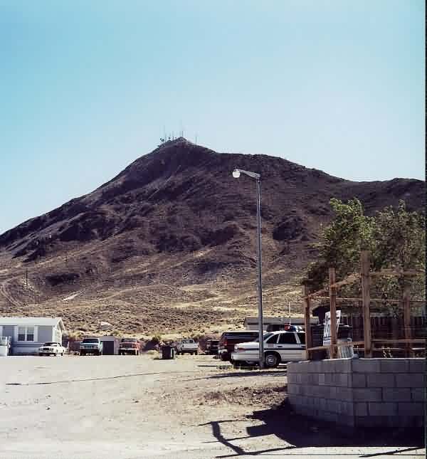
This photo (shot through a 300-mm telephoto lens) shows Brock Mountain, site of the original AC&W radar. From below, I could not tell if any structures were original USAF. I made no attempt to go up the access road (I do not know if there is a locked gate or not, but I would expect such, given all the transmitting antennas up there today). [looking south-southeast]

This photo shows part of the former cantonment area from its southeast side. [looking northwest]
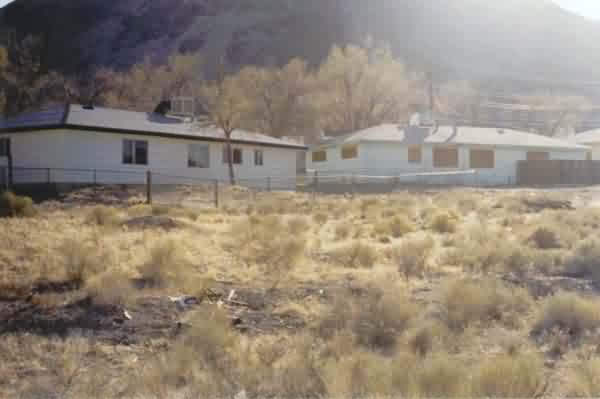
This photo also shows part of the former family-housing area that is located just east of the cantonment area. Brock Mountain is in the background. [looking southwest]
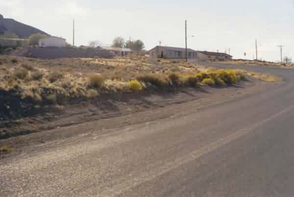
This photo shows what appears to be a second former family-housing area for Tonopah AFS. This housing area is located just west of the cantonment area. [looking west-southwest]
May, 2002 photos & notes by Tim Tyler
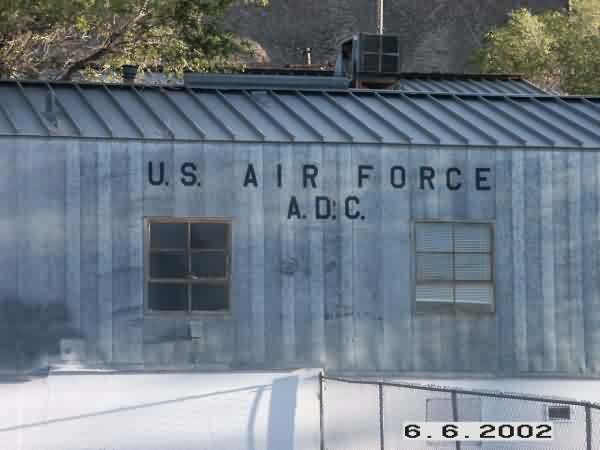
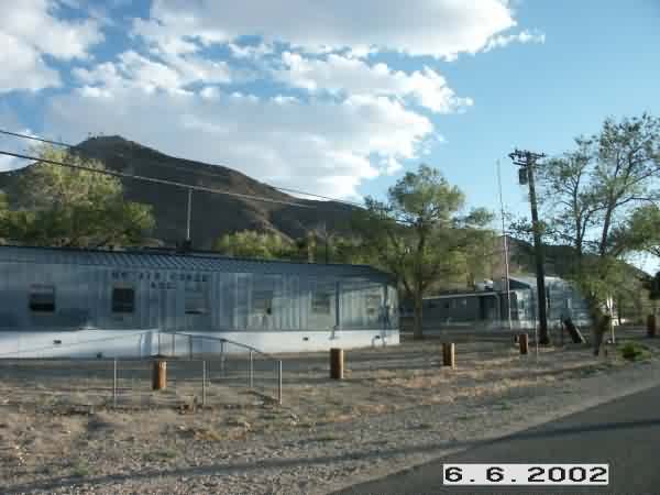
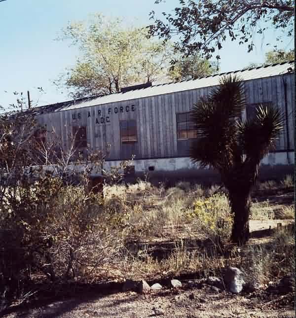
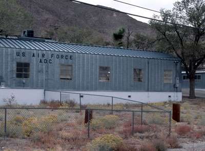
Sheetmetal buildings intact. Now Salvation Army, Dept of Interior BLM`s
Tonopah Resource Area offices, Nye County School District, etc. Almost all
buildings inside the complex seem to be in use, or at least well maintained.

What I`m assuming to be the old family housing is abandoned & overgrown.
2001 photos contributed by Chuck Comstock