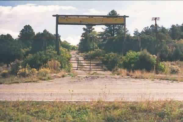
The site access road at its junction with NM Road 112. The faded sign over the access road reads, "New Mexico Forestry Camp." [looking east]
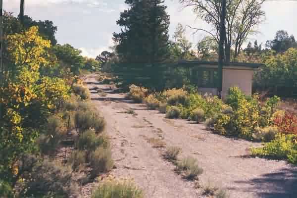
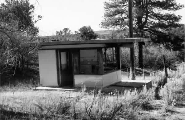
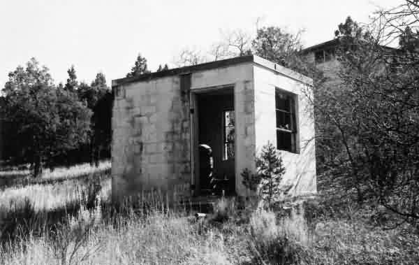
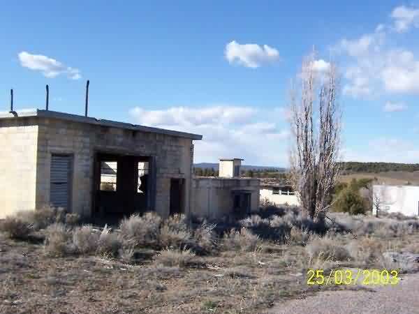
The guard shack alongside the site access road about one third the way up the hill. [looking east-southeast]
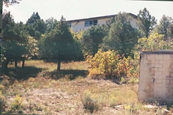
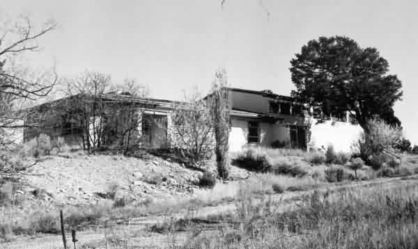
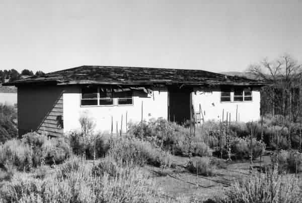
One of the barracks, as viewed from the site access road below. [looking south-southeast]
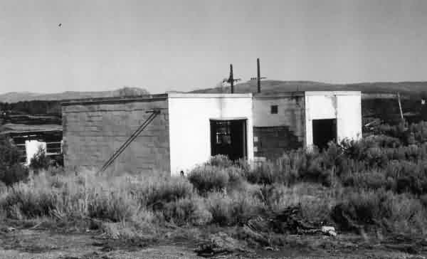
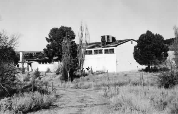
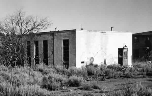
The station gym / recreation hall, just off the access road near the top of the hill. [looking east-southeast]
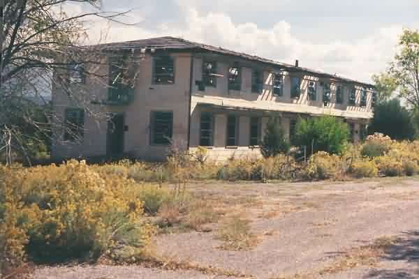
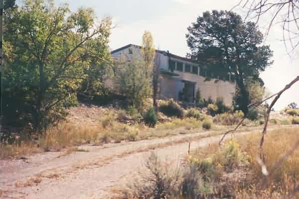
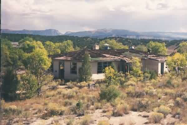
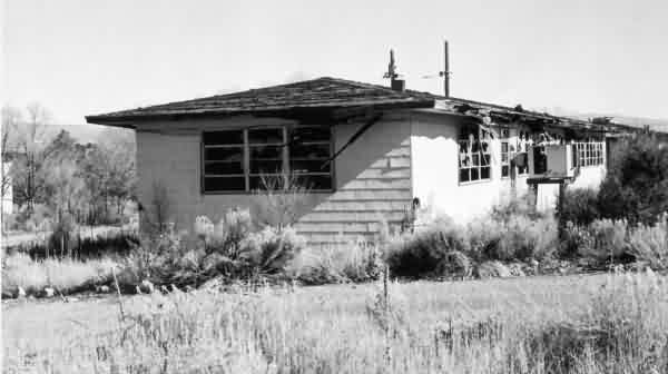
One of three still-extant barracks at the top of the hill; all are "very-well ventilated" now. [looking northeast]
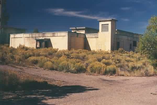
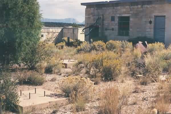
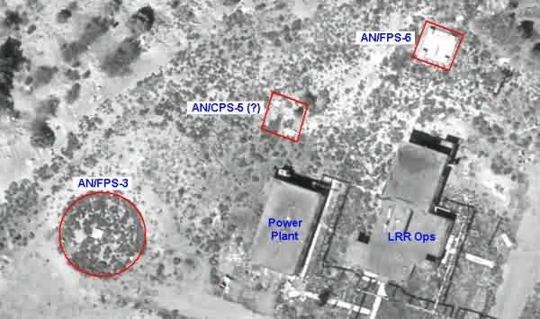
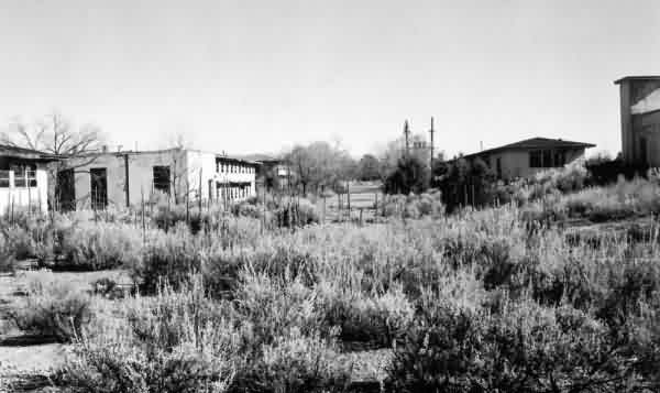
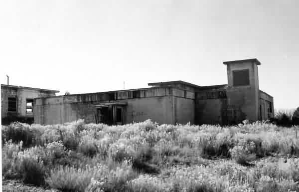
The LRR Operations building. The diesel-power plant is to the far left. [looking southwest]
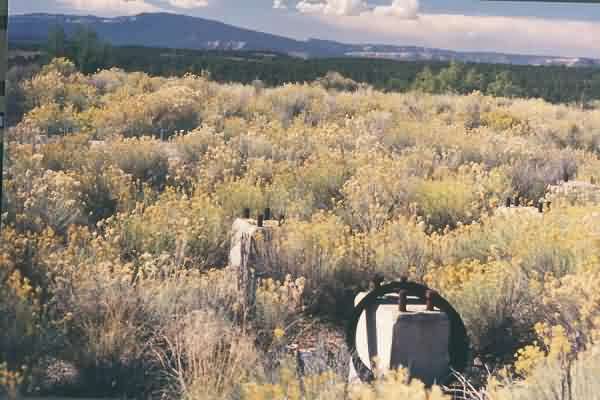
Foundations of the old AN/FPS-3 search radar tower, located to the south of the diesel-power plant. [looking ~ south-southwest]
Another view of the foundations of the old AN/FPS-3 search radar tower, with the diesel-power plant beyond it (and the LRR Operations building immediately behind that). [looking north]
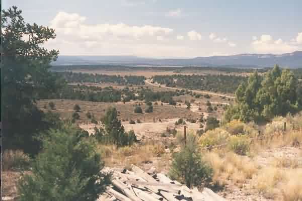
View from the hill top. NM Road 112 is seen below. [looking south]
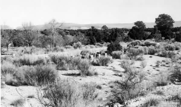
Another view from the hill top. One of the two radio facilities, possibly the receiver site (?), is seen at the end of the ridge in the distance. [looking east-southeast]
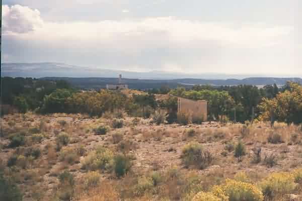
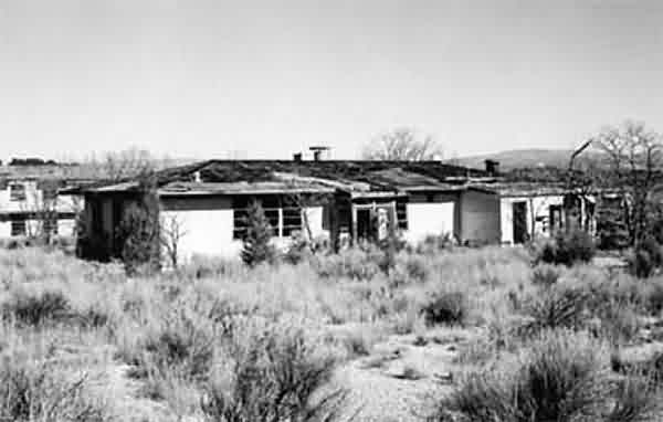
One of the buildings in the cantonment area, possibly the HQ building (?). Like the barracks, it and all the other wooden buildings are "very-well ventilated." [looking east-northeast]
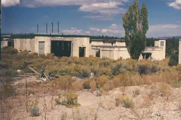
Another view of the LRR Operations building (right) and the diesel-power plant (left). [looking west-northwest]
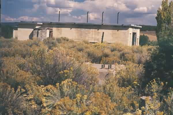
Foundations of one of the old temperate radar towers (maybe the AN/CPS-5 ? or the AN/FPS-5 ?), located directly west of the diesel-power plant. The LRR Operations building is seen in the background (center). [looking northeast]
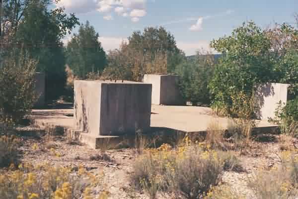
TA-14: Foundations of another one of the old temperate radar towers (maybe the AN/FPS-6 ?). This set is located more or less due west of the LRR Operations building. [looking southwest]
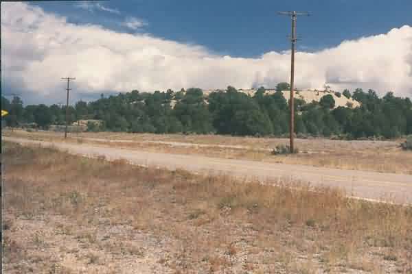
TA-15: The hill on which the radar towers once stood. NM Road 112 is seen in the foreground. [looking north-northeast]
One final view of the site, as seen from the next hill to the north. NM Road 112 is seen in the foreground. [looking south-southeast]
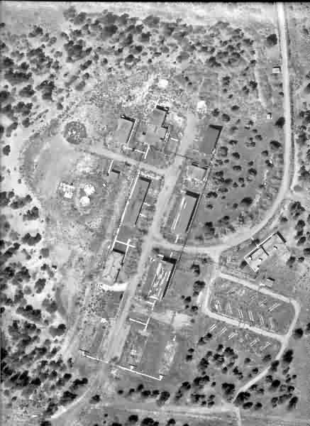
Aerial photo May 22, 1979
Sentry House
Main Road thru compound
Squadron HQ
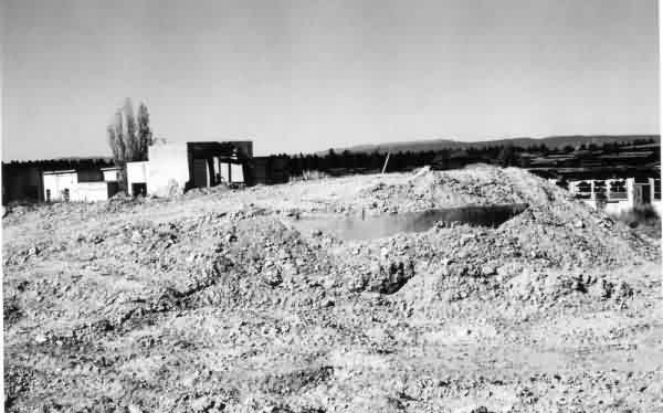
Water Pump Station
Water Treatment Plant
Recreation Hall
Recreation Hall, Rear
Supply Shop
Dining Hall
Dormitory Foundations
Former Fuel Tanks in the Radar Area
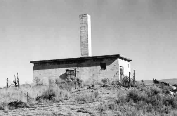
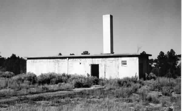
Heating Plant
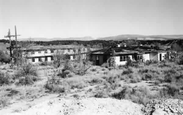
Dining Hall on the right, Dormitory on the left
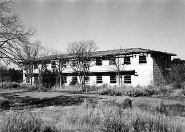
Airmen`s Dormitory 5 A
Communications Receiver Bldg.
Communications Transmitter Bldg.
LRR Operations Bldg.
.............................................................................................................................................................................................................
Newspaper article (1998)

.............................................................................................................................................................................................................
Newspaper article (1980)

