Thomas GFA, WV Recent Photos
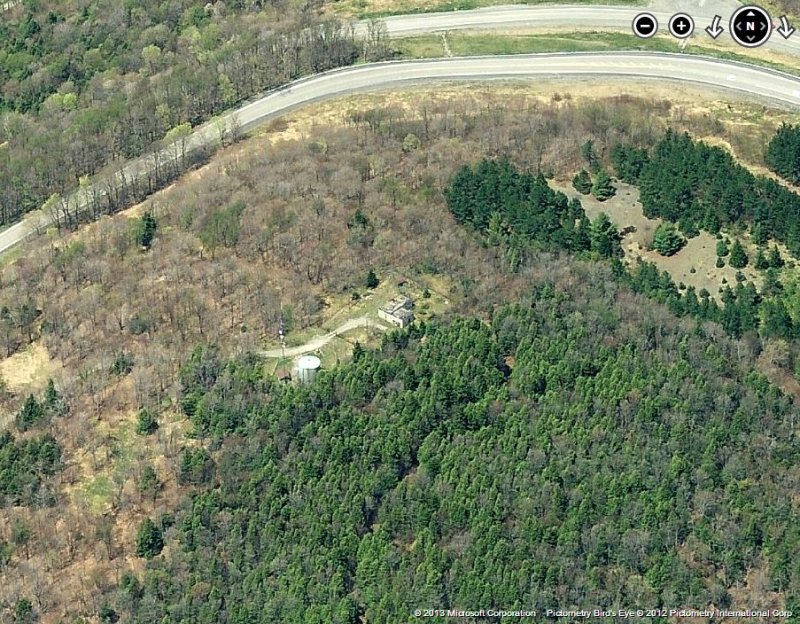
2012 image looking North
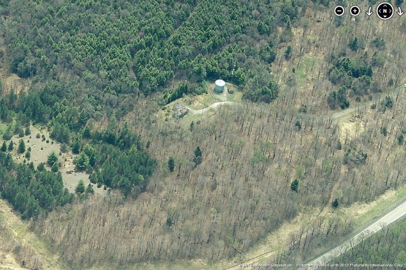
2012 image looking South
June, 2008 photos & notes contributed by Walt Mitchell
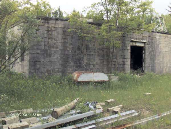
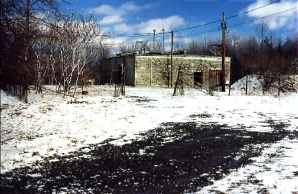
I stopped today (June 19, 2008) at the old Thomas GFA. Had attempted to visit the site in March, but a closed gate and considerable snow coverage prevented it. Today, severe clear prevailed and the gate was open. No signs were noted suggesting “no trespassing” or the like, so up I went. Access road conditions and first view of the site were very much in line with Tom Page’s visit in February 2001.
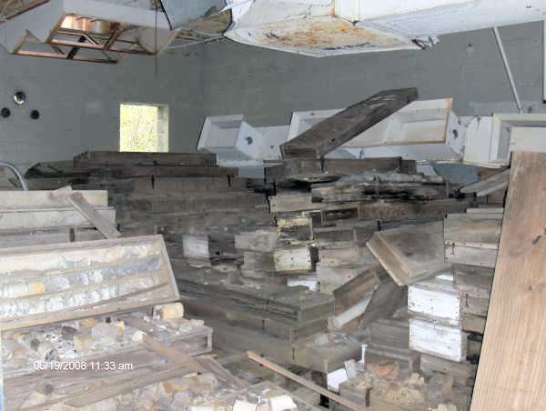
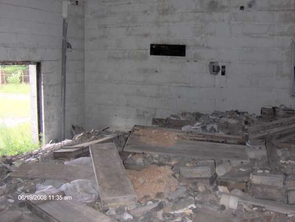
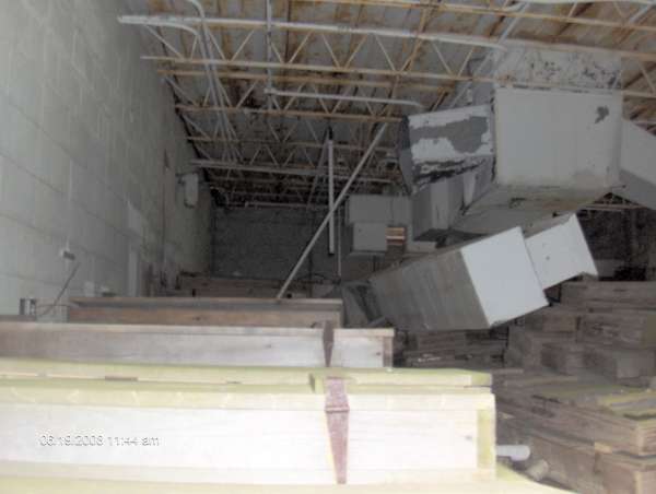
The RADAR side of the building was about half full with hundreds of wooden boxes containing earth core boring samples. One box lid contained the marking “Bloomington Reservoir”, which I think is north of the site along the West Virginia/Maryland border. With other debris within the compound (guard rail material), the site may be used by the West Virginia Department of Highways. The EG room also had the same wooden boxes stored in it as well.
I did crawl over the boxes (throwing caution to the wind, did not see any critters – long with no legs!!!) to find a couple of racks containing what would look like telecommunications equipment as well as an empty RF Screen room.
The foundations for the tower as still intact, but much more vegetation noted, compared to Tom’s visit.
One interesting note, Backbone Mountain is now home to a number of large wind turbines owned by Florida Power and Light. Although not visible from the site, the noise of the turning blades could be heard.


Feb. 2001 photos contributed by Tom Page
Looking northeast.
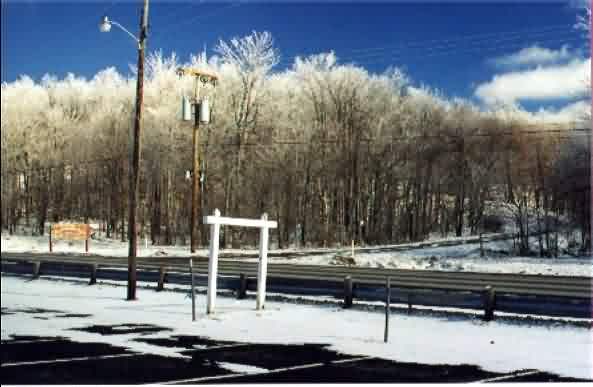
Mountain top and access road from US Rt. 219 up to the Thomas GFA. Looking northeast.
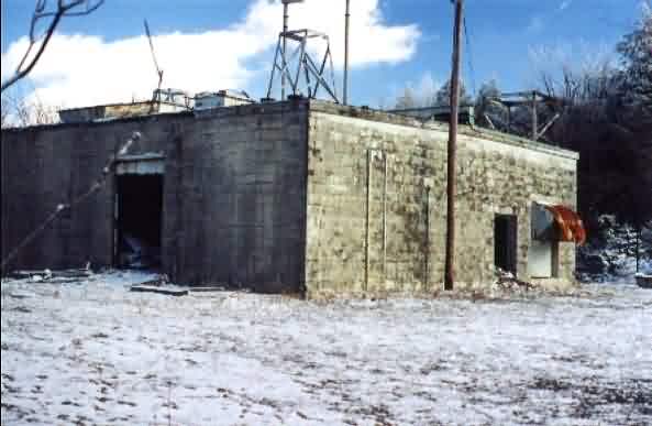
North corner of building. Diesel generator wing to the right. Looking east.
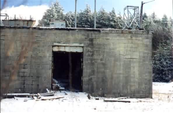
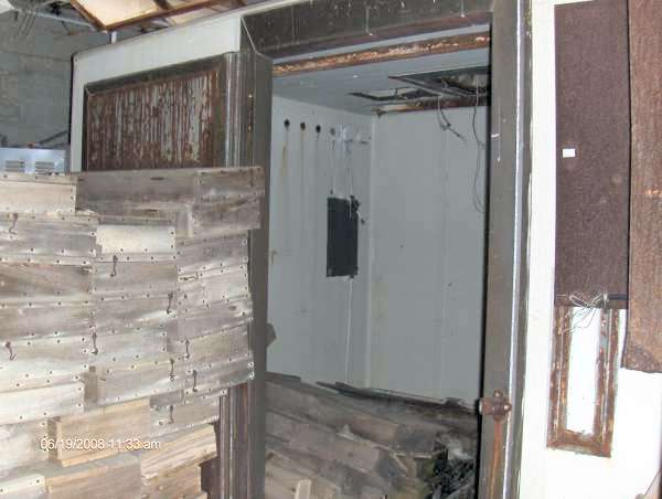
Doorway into radar equipment building, looking northeast. Interior now used
for storage.
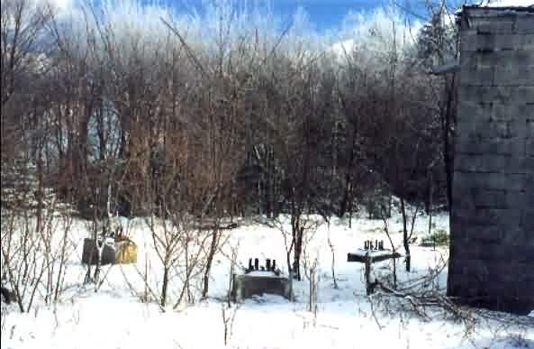
Radar tower foundations at northeast end of facility, looking east.
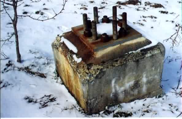
Closeup of one tower foundation showing attachment bolts. One of three, this one
is the furthest northeast.
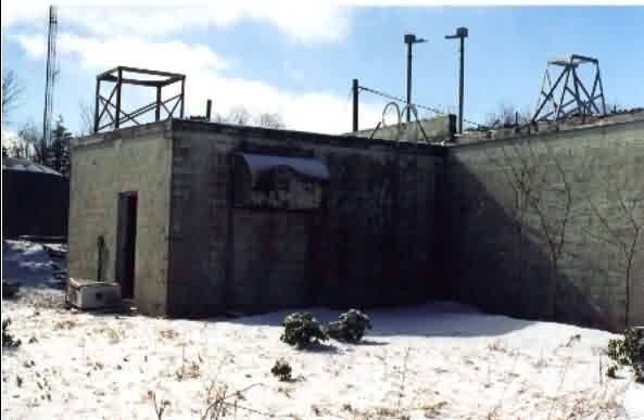
Diesel generator wing, looking southwest.
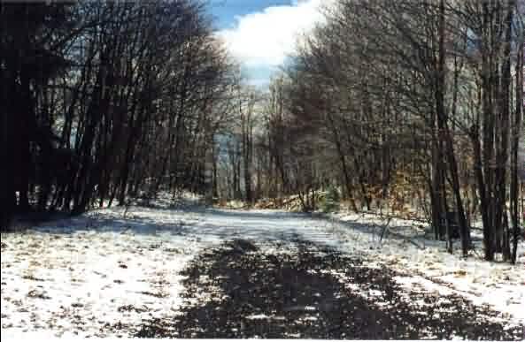
Access road at the top, looking downhill, south-southeast.
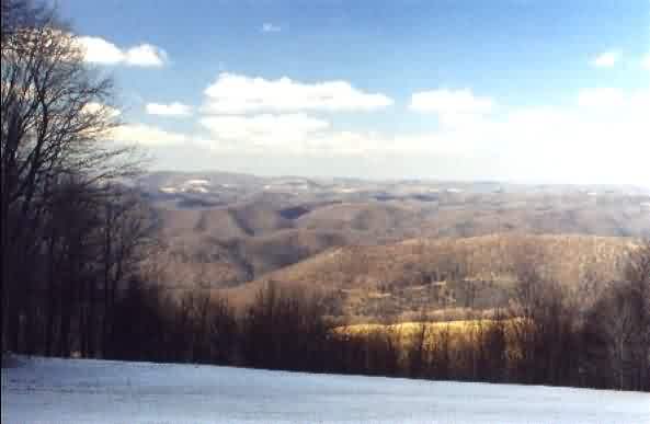
Looking west from scenic overlook/roadside park on US Rt 219, directly opposite
where access road to the GFA meets the highway.