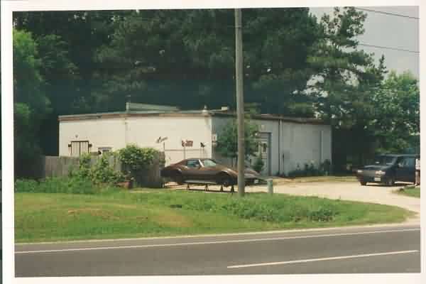
The former gap-filler radar facility as viewed from US Rte 13; the southbound lane is seen in the foreground. The radar tower stood to the right (north), and the diesel-generator wing protrudes to the left. [looking northwest]
The radar site is located immediately alongside US Rte 13 (Lankford Highway) on the west side of the road, about two (2) miles south of Temperanceville. The section of road in front of the site is nicknamed “Radar Curve” (reportedly the scene of several fatal automobile accidents). The present owner repairs power equipment, and named his company “Radar Curve Equipment.” The building has a rare configuration: it is “left-handed.” That is, when you stand inside looking at the radar-tower end of the building, the diesel-generator wing is on the left. In most other known cases, the diesel-generator wing is on the right. [Note: At least one other gap-filler facility, namely the Whitewater GFA, MT, also has a left-handed configuration.]
The former gap-filler radar facility as viewed from US Rte 13; the southbound lane is seen in the foreground. The radar tower stood to the right (north), and the diesel-generator wing protrudes to the left. [looking northwest]
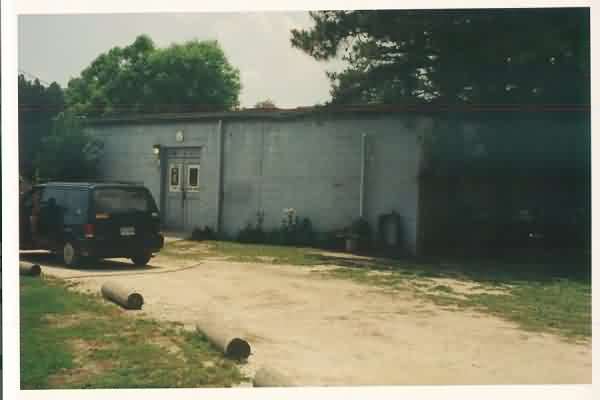
Another view of the ‘front’ of the GFA building. The radar tower stood to the right. [looking southwest]
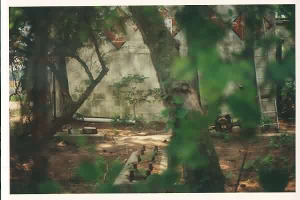
The radar-tower foundations next to the north end of the building. [looking south]
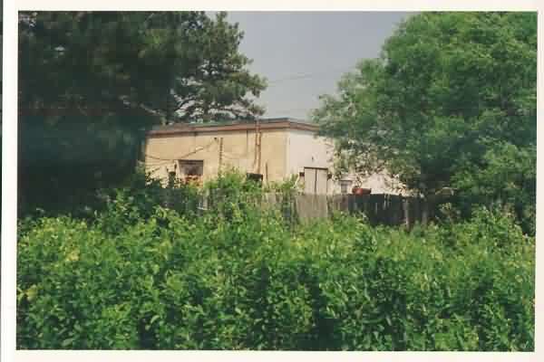
The ‘rear’ of the old GFA building; seen here is the diesel-generator wing. [looking northeast]