Recent Photos of Tacna GFA, AZ
2001 photos contributed by Tom Page
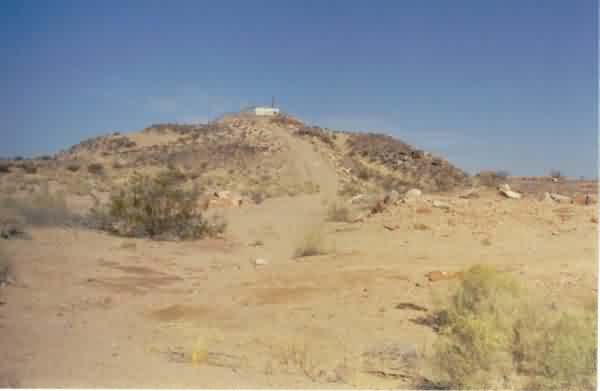
A view of the radar site from the base of the access road. [looking north-northwest]
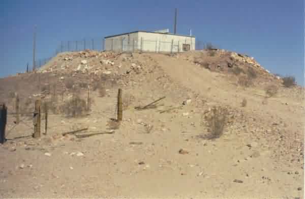
A view of the radar site from just below the top of the hill. The radar-equipment section of the building is at the front and left (northwest); the diesel-generator wing extends to the right (northeast). [looking north]
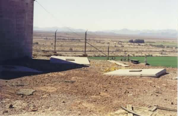
A view of the three concrete foundations / footings for the radar tower at the northwest end of the building. The top of a fuel tank can be seen just beyond the right-most foundation, just inside the fence (it is not clear if this was the original fuel tank or not). [looking southwest]
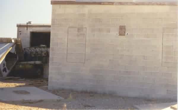
A view of the end of the radar-equipment section of the building where the radar tower used to stand. The diesel-generator wing extends to the left. [looking southeast]
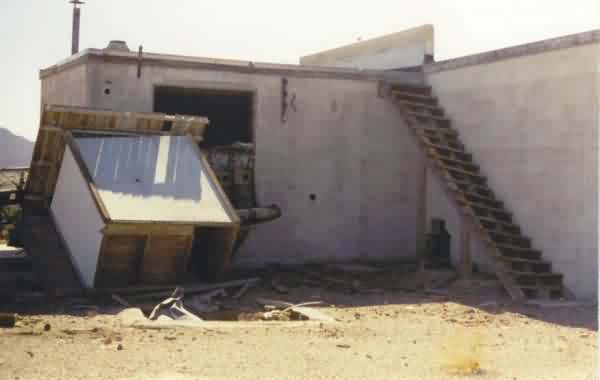
A view of the diesel-generator wing. [looking south]
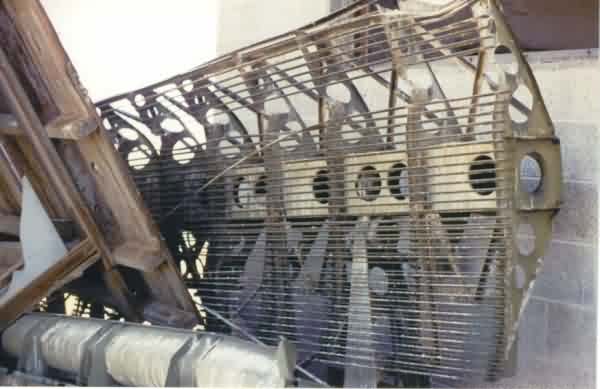
Located against the northeast wall of the diesel-generator wing is this object, which appears to be some type of mobile-radar antenna sail. [It is not the antenna for the AN/FPS-14 gap-filler radar.] Perhaps a mobile tactical radar was used for exercises at this site by either the USAF, Army, or Marines (active-duty, Guard, or Reserve)??
Ed. note: We now know that the mystery radar antenna matches that of a U.S. Army Nike Low-Power Acquisition Radar (LOPAR). See photo comparison linked here. We have no idea how or why or from where a Nike LOPAR antenna came to be here. If anyone knows, please let us know. Thanks.
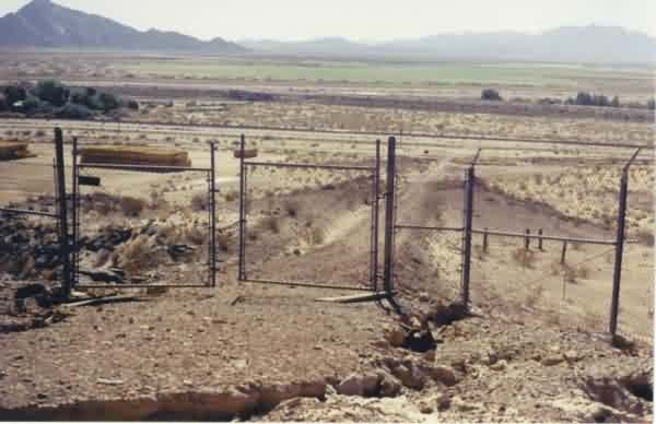
A view of the site access road from the top of the hill. At the end of the access road is Old US Rte 80. Just beyond that are railroad tracks. Further still is Interstate highway I-8. [looking south-southwest]