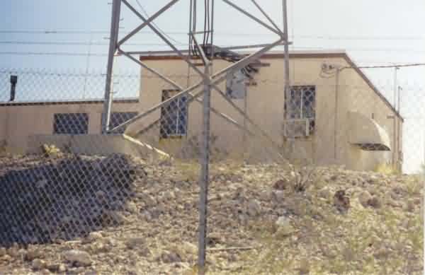
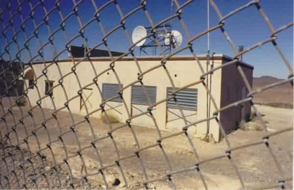
A view of the radar site from alongside the access road. The former gap-filler annex is the building on the left. [looking south-southwest]
A view of the radar site from alongside the access road. The former gap-filler annex is
the building on the left. [looking south-southwest]
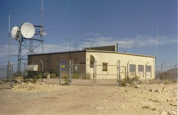
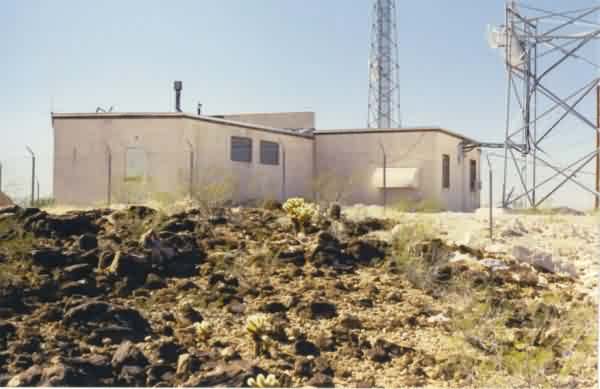
A view of the radar site from the hill top. The radar-equipment section of the building is at
the front and left (north); the diesel-generator wing extends to the right (east).
[looking northeast]
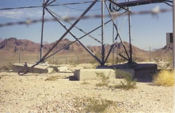
A view of the three concrete foundations / footings for the radar tower at the north end of
the building. The modern-day microwave repeater tower uses the original radar-tower
foundations / footings. [looking east]
Another view of the radar site from the hill top. The radar-equipment section of the
building is at the front (north); the diesel-generator wing extends to the right (east).
[looking south]
Yet another view of the radar site from the hill top. The radar-equipment section of the
building is at the right (north); the diesel-generator wing extends to the left (east).
[looking west-southwest]
A final view of the radar site from the hill top (using a 28-mm wide-angle lens). The
radar-equipment section of the building is at the left (west); the diesel-generator wing
extends to the right (east). [looking northwest]
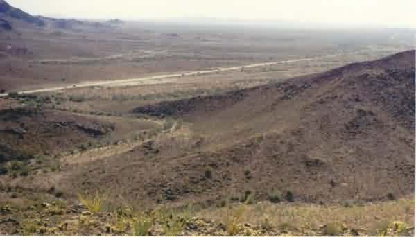
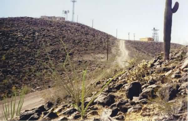
The view from the former gap-filler radar site. The US Army Yuma Proving Grounds is in the
distance. US Rte 95 is seen in the valley. [looking ~ south]
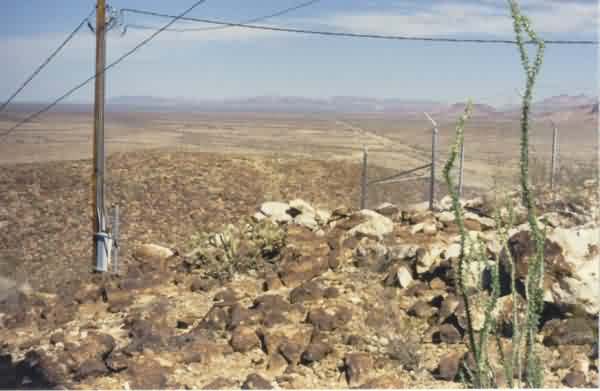
Another view from the former gap-filler radar site. The tiny town (cross-roads) of Stone
Cabin is seen in the distance alongside US Rte 95 (near the center of the photo, just above
the NW corner of the fence post). [looking ~ north]