Recent Photos of Stateburg GFA, SC
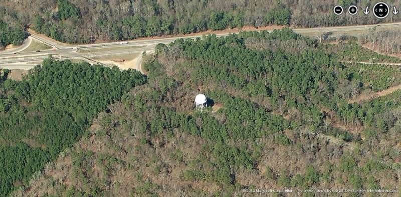
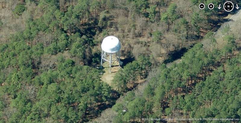
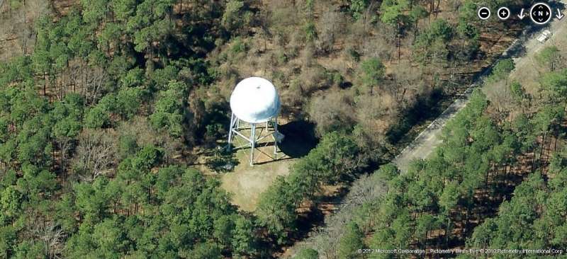
2012 note: The Gap-Filler radar building was torn down several years back. A new water tower stands on the site. No east-looking images are available (not much to see now anyway).
Looking North
Looking South
Looking South
Looking South
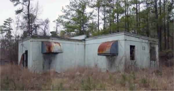
Looking West
Looking West

September 2017 photo by Tom Page
.............................................................................................................................................................................................................
January 2002 photos contributed by Alex Cheek
Alex writes:
Sunday, January 27, 2002
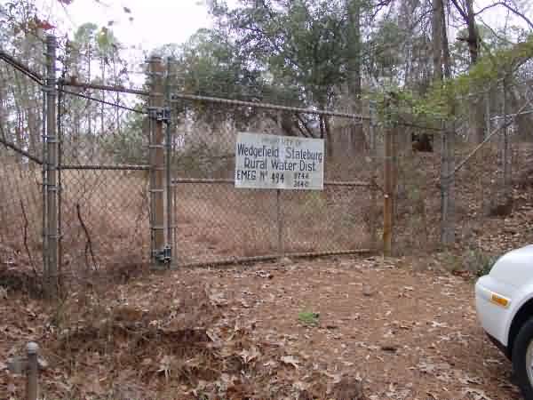
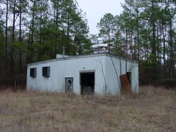
Early in the morning Brian Hawley and Alex Cheek drove west on Highway 76 from Columbia, South Carolina, armed only with a topographical map and the existing satellite photo from the Online Air Defense Radar Museum. At this time the marking from the website mentioned a "possible" and "suspected" radar site, so the two of us were truly flying blind. We turned onto state Road 261 looking for a side road that would take us as close as possible to the potential location. This part of the world, on the edge of the Wateree Swamp, is sparsely inhabited and thickly covered with pine forests, so we expected a tough trek through dense undergrowth. The few roads we saw were dirt tracks blocked by gates and prominent "Posted-No Trespassing" signs. Clearly, any attempt to search for the site by following an abandoned dirt road would involve some risk. When we came to the crossroads settlement of Wedgefield Brian suggested we stop and see if the locals could offer any assistance. The kind woman behind the counter at the general store took my odd request in stride and recalled a number of towers connected with nearby Shaw Air Force Base. She then telephoned a retired USAF flight engineer who lived nearby, and he told us to turn around and go back the way we came until we came to a large blue water tower. That tower had built by the County in 1980 on the old radar site, and was now abandoned. He encouraged us to "Take a bunch of pictures, because it`ll all be torn down soon."
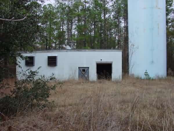
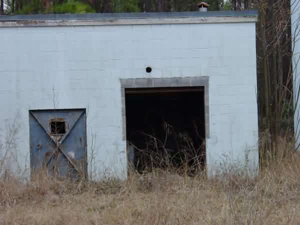
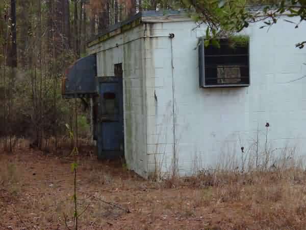
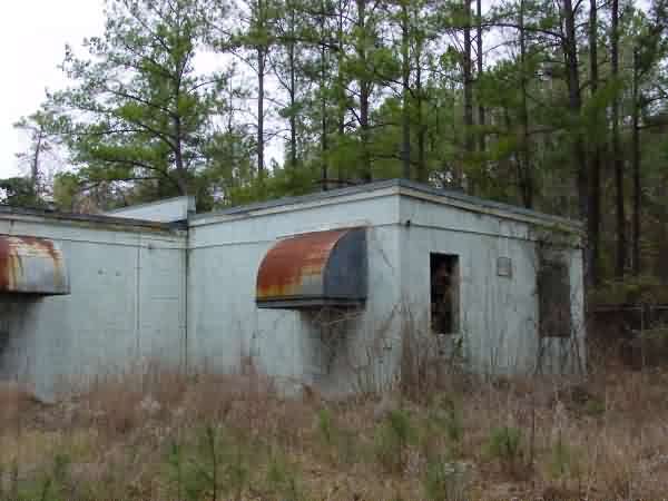
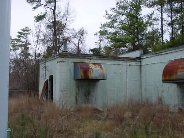
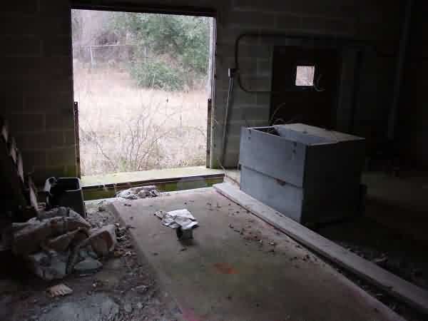
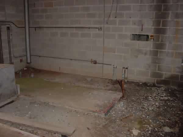
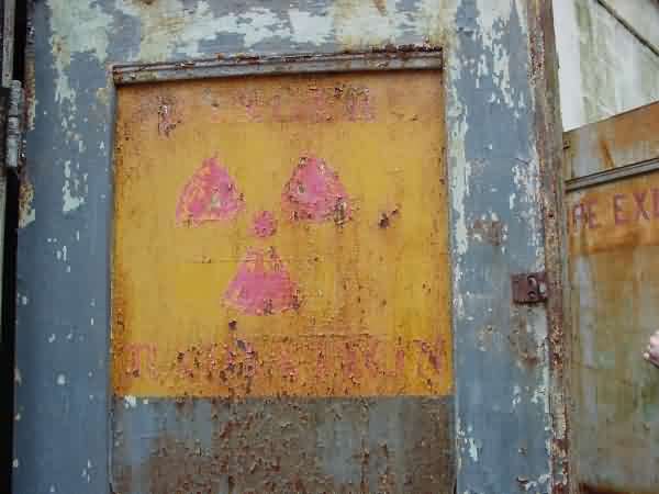
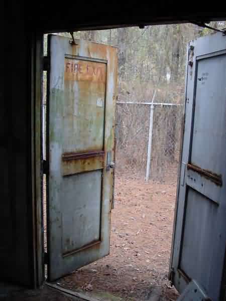
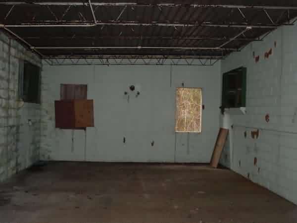
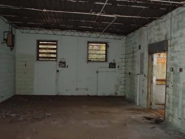
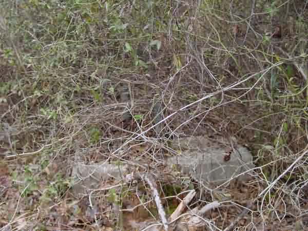
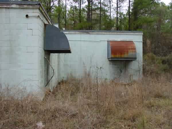
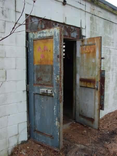
Five minutes later we stood at the gates to the former gap filler site, just a few feet off state road 261. The tower is on ground much higher than the road, so the building is not even visible to motorists. The woods were filled with what Brian swore were "the biggest briars I have ever seen," and roots from trees had literally covered the four concrete foundations of a tower just outside the site fence. It seemed much too light to be from an old fire tower, so perhaps it once supported an antenna of some kind. At first it seemed we would have to be content with views of the site through the tall barbed wire-topped fence, but the opened doorways of the generator and equipment building proved irresistible. Through the unpleasant underbrush we walked the fence line, and at last found an opening made by curious (and thin) locals.
After we struggled through the fence and made our way through the briars and down the steep embankment to our car, we loaded up our few "souvenirs." As we got back in our car two things happened-it started to rain and two sheriffs deputies and a highway patrolman drove by. Luck was with us that day!
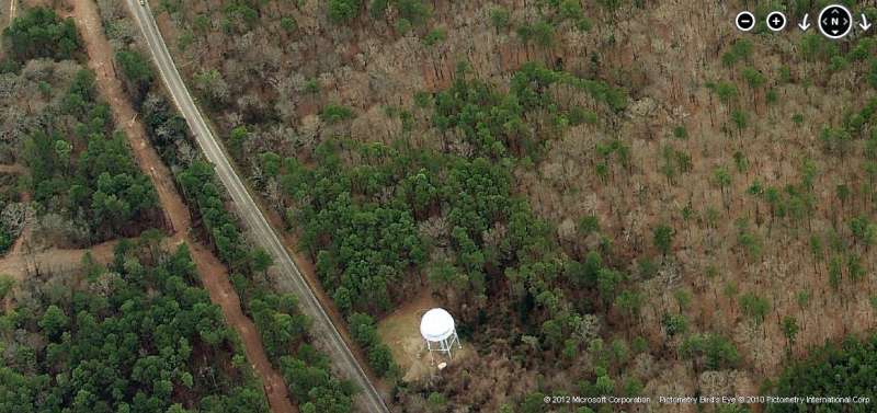
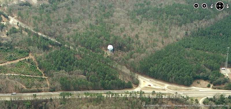
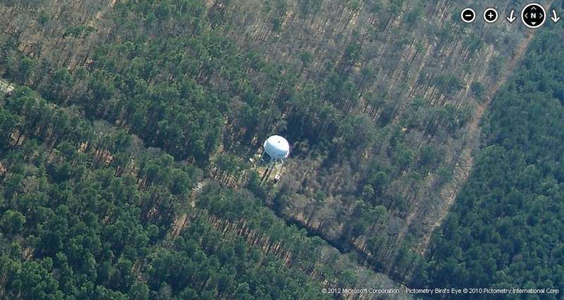
The water tower at right is clearly seen in the aerial photo on the Stateburg home page.
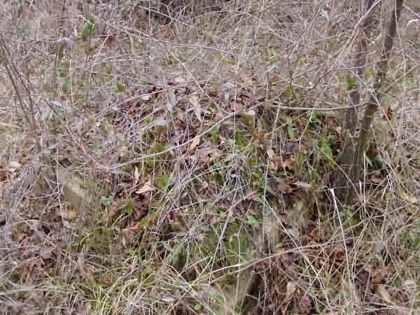
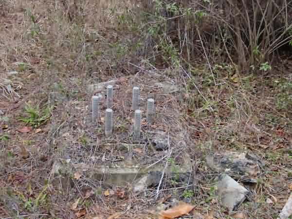
To the south of the building Brian found three concrete tower foundations, now overgrown.
A composite photo from two of Alex Cheek`s, above.