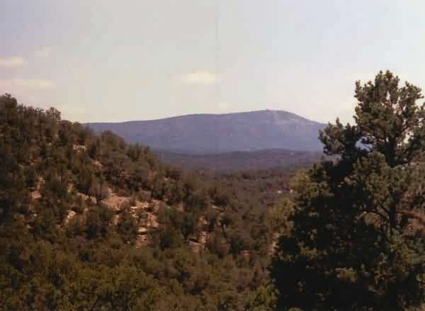
This is a far distant view of the Silver City radar site`s radome on Brushy Mountain, as seen from State Road 78 west of Mule Creek, NM. [looking east-southeast]
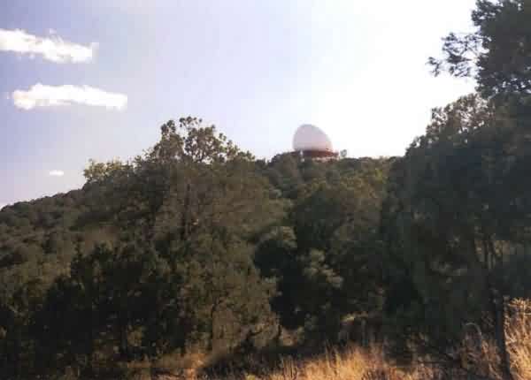
This is a closer view of the ARSR-2 radome from the site`s access road near the mountain top. [looking roughly west-southwest]
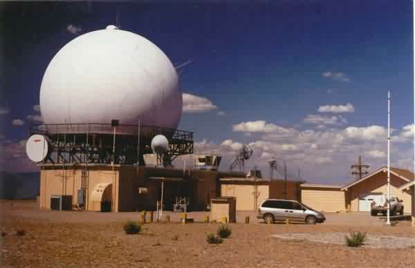
This is the ARSR-2 radar tower and the FAA lodge to its right. [looking northeast]
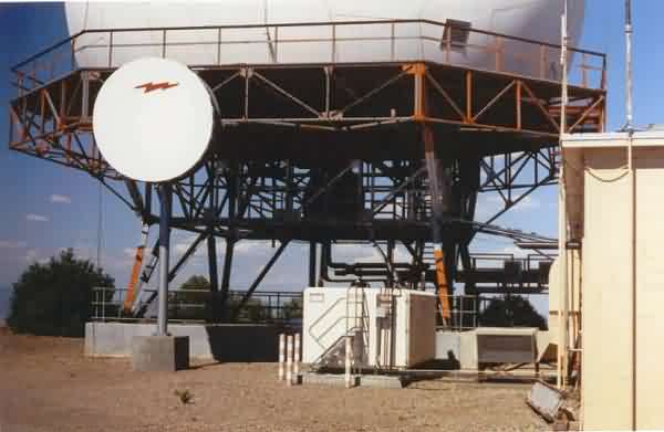
This is the underside of the ARSR-2 radar tower. [looking east]
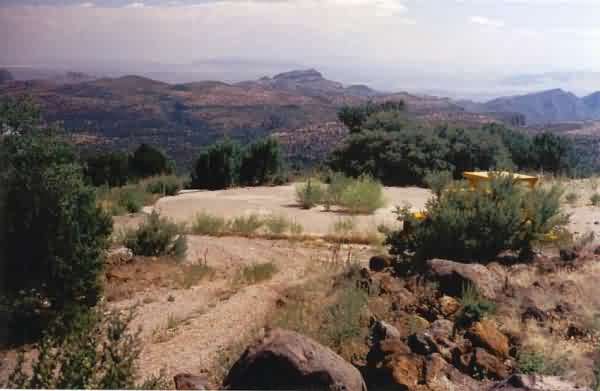
This is a view of the concrete pad that originally supported the AN/FPS-90 (later, AN/FPS-116) height-finder radar antenna assembly. Weeds now grow out of the center section where the antenna pedestal once stood. This was the only CONUS height-finder radar that was mounted at ground level; the reason for this configuration was, the FAA`s ARSR-2 radar was installed on a short tower, and the height-finder radar had to be positioned so that it would not interfere with any part of its 360 degrees of coverage. [looking south]
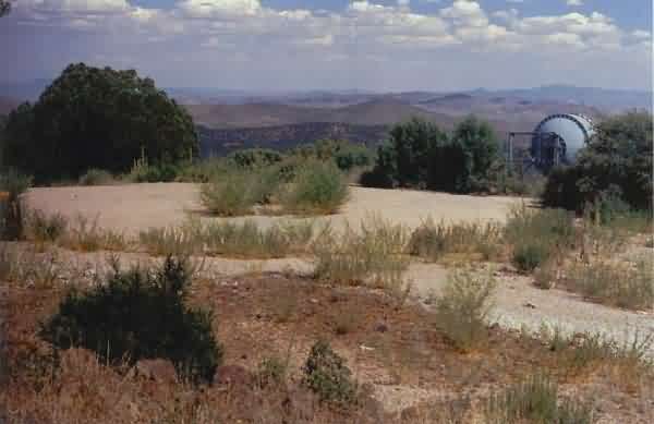
This is another view of the concrete pad that originally supported the height-finder radar. A present-day microwave dish antenna is seen to its right (south). This former radar platform now serves as a helicopter landing pad. [looking southeast]
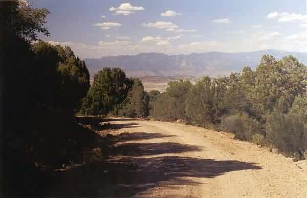
This photo shows one section of the site`s access road, made of hard-packed gravel its entire length. The road is well-maintained. [looking northeast]
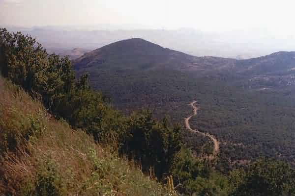
This final photo, viewed from the mountain top, shows the site`s access road far below. [looking west]
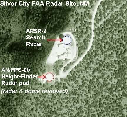
This annotated aerial image shows the precise locations of the two radar sets.