Recent Photos of Seligman, AZ LRR Site
source: http://www.jrjinc.com/project-portfolio-faa.php
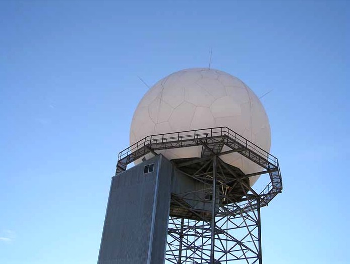
The caption mistakenly reads, "Doppler Weather Station Radar, Seligam, AZ." (I surely hope their construction practices are better than their spelling and their knowledge of radars!)
2007 photo source: http://www.flickr.com/photos/rustymerin/2278775177/in/set-72157603946280056/
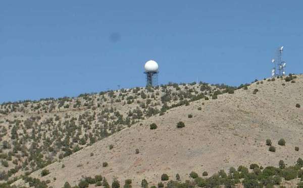
Photo source: http://www.zfilms.org/Stories/Murano/2004/4-4/GrandCanyon/
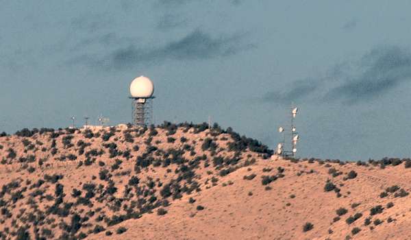
Author`s comments: "70 miles west of Flagstaff on 40 I detoured onto the historic route 66 again, absolutely spectacular scenery, plus this odd little dome on top of a hill in the middle of nowhere...anybody know what the frick it is? I`m guessing an ATC radar for some air corridor that transits AZ."
[Ed. note: good guess]
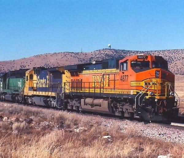
Photo source: http://www.trainweb.org/brettrw/bnsf/seligmansub/bnsf4877.html
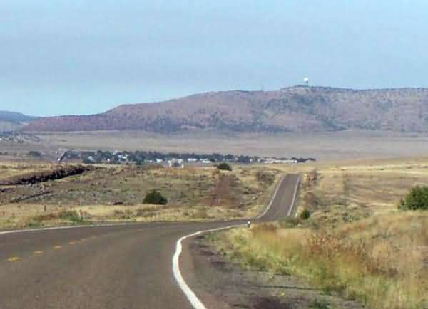
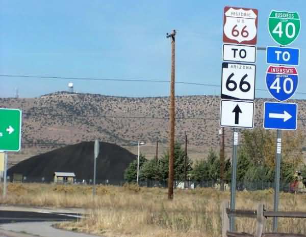
Photo source: http://www.teresco.org/pics/gc-20031023-27/25/historic66.html
Source: http://www.angelfire.com/wy/wyscanner/I40.html
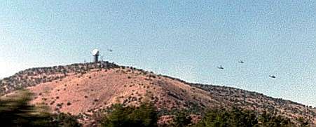
This FAA radar facility is now a data-tie site to the JSS, post-9/11.
Interestingly, the photographer writes: "Radar station operating ARSR (Air Route Servailence(sp?)[sic] Radar) a few miles west of Selingman Arizona. Notice the Apache Helicopters flying around it. We saw them fly right underneath it. This, in fact could be used as a military radar." Hmmm, little does he know ....