Recent Photos of Santa Rosa Island AFS, CA
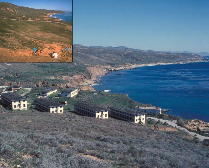

The cantonment area seen in this photo is no longer extant, as shown in the `Inset` (upper left). Source: http://home.nps.gov/chis/photosmultimedia/santa-rosa-island-photo-gallery.htm
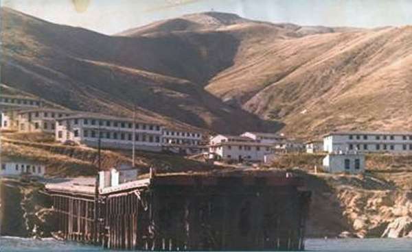
1977 view of the cantonment area from the harbor
Photo source: http://www.radonboats.com/newsletter23.html
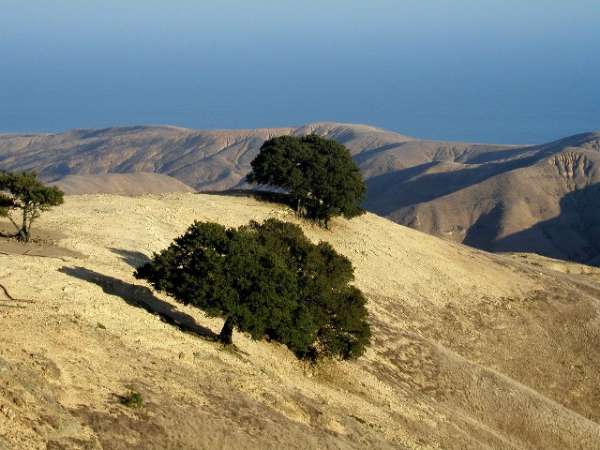
source: http://www.davestravelcorner.com/photos/unitedstates/california/central/index.htm
Based upon the elevation, the ground cover, and the trees seen, this very likely was near the former radar site / technical operations area on Santa Rosa Island, CA. The ground appears to have been "restored."
If the view is to the northeast, looking from a point near the southwest end of the former site, the trees would match precisely to what is seen in the "Google Earth" aerial image. Also, what looks like a road is seen to the far right, and -- if the view indeed is to the northeast -- then that is precisely where the site access road would be seen.
Radar site - NPS photo

source: https://www.youtube.com/watch?list=PLODWKzUqau_NOnJVukVBpVOmtQBP5hPms&v=qZatyFUh1wU

Approach to the AC&W radar site, 2012 [courtesy of the USGS]
source: https://www.youtube.com/watch?v=JegLL6P3ftg&list=PLODWKzUqau_NOnJVukVBpVOmtQBP5hPms&index=3

Approach to the AC&W radar site, 2012 [courtesy of the USGS]
source: https://www.youtube.com/watch?list=PLODWKzUqau_NOnJVukVBpVOmtQBP5hPms&v=qZatyFUh1wU
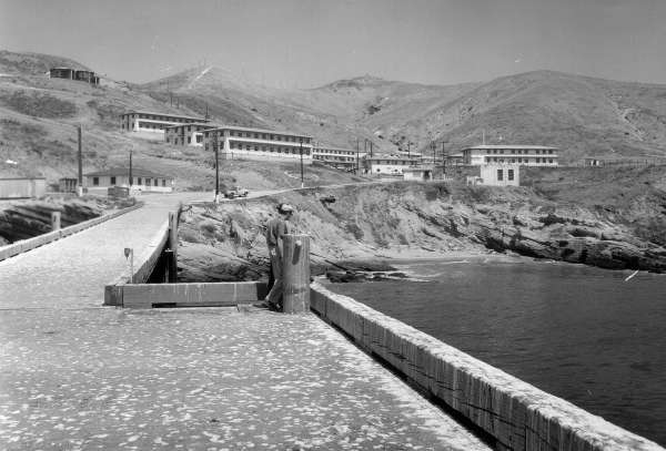
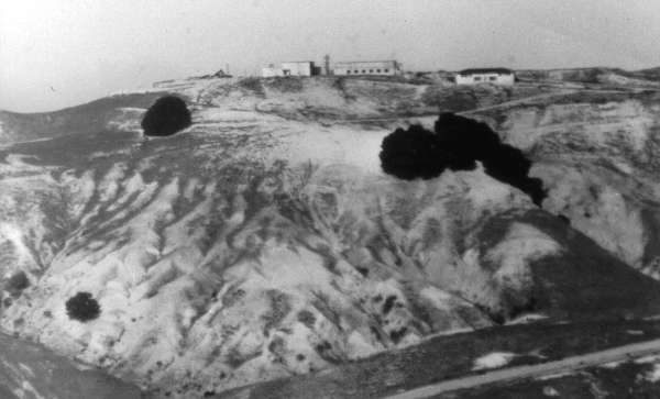
Cantonment area - NPS photo (1965)
.............................................................................................................................................................................................................

Aerial view of the former cantonment area (undated)
source: http://www.islapedia.com/index.php?title=Johnson%E2%80%99s_Lee,_Santa_Rosa_Island