Recent Photos of San Ysidro GFA, CA

Looking North
Looking East
Looking South
Looking West
Looking West
Looking North
Looking East
Looking South
Looking West
Looking West
Photos contributed by Tom Page, Radomes Staff
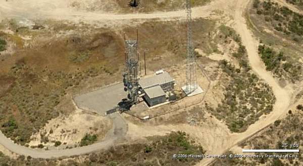
The former San Ysidro Gap-Filler Annex is still extant, located at the west end of Otay Mesa near San Diego. The ex-radar site is now used as a microwave relay facility.
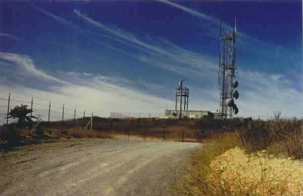
This is a view of the former San Ysidro GFA site from the access road near the top of Otay Mesa.
Looking west-southwest.
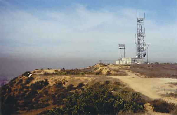
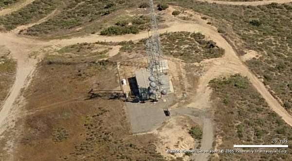
This is a view of the old radar site from a point not far to the east on the mesa.
On a clear day, the Pacific Ocean would be visible in the distance. However, on this morning, fog obscured the view.
Looking west-northwest.
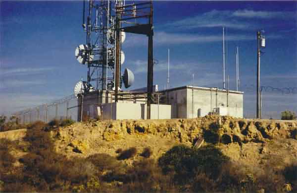
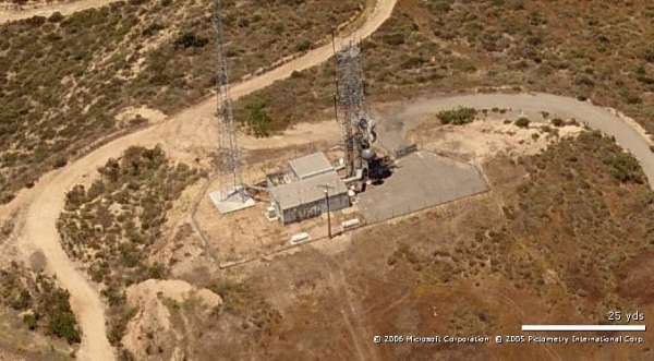
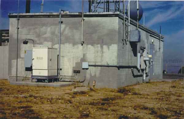
This photo shows the inside of the "L" with the diesel-generator wing on the left (west) and the radar-equipment section on the right (south).
Several newer structures have been added.
Looking northeast.
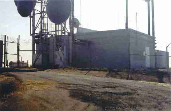
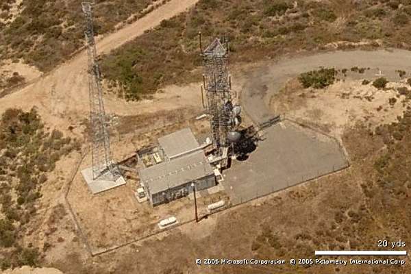
This view shows the end of the access road where it meets the site.
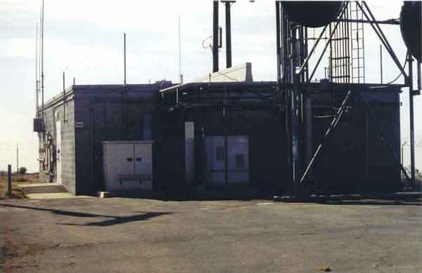
The the diesel-generator wing is on the right (west) and the radar-equipment section on the left.
Looking southeast.
This photo shows the radar-tower end of the building.
One tower foundation / footing is seen in front of the building.
Looking northwest.
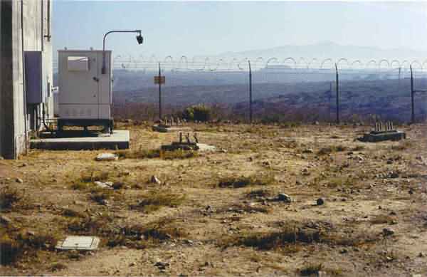
This view shows the three radar-tower foundations / footings.
Looking east-northeast.
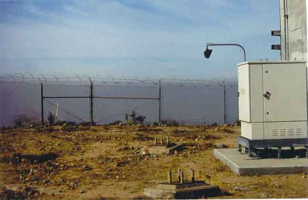
This view shows two of the three radar-tower foundations / footings.
Looking west-southwest.
This photo shows the north side of the facility, with the diesel-generator wing on the right (west) and the radar-equipment section on the right.
The tower seen in the foreground is not the original radar tower (which stood on the other side of the building).
Looking south.
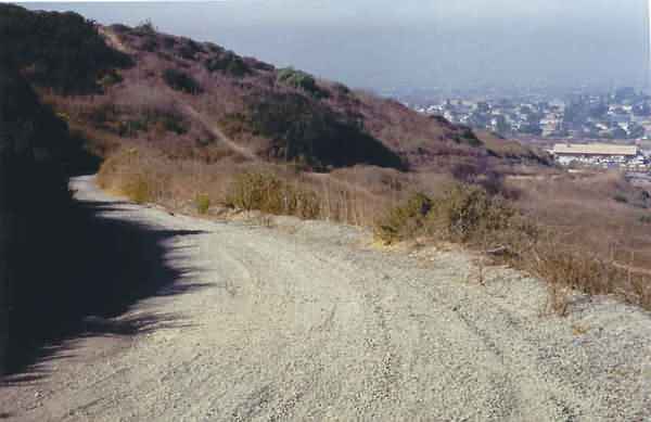
This final photo shows a section of the site access road, looking downhill.
A dirt-bike trail is seen ahead crossing the access road.
The town of San Ysidro is seen below to the right.
Looking west-southwest