Recent Photos of Red Bluff AFS, CA
The four blocks in the foreground are the foundations for one of the two AN/FPS-6 height-finder radar towers. The other one stood by the Operations building to the left (north) of the AN/FPS-67B search radar tower that is still in use by the FAA. Compare to http://www.radomes.org/museum/photos/RedBluffAFSCA66-2.jpg -- the view is roughly the same. See also http://www.radomes.org/museum/photos/RedBluffAFSCAaerial.jpg.
July 2003 photos and captions by Tom Page, Radomes Staff >
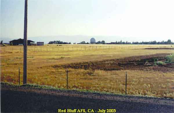
This photo shows the radar site from the east, from alongside Red Bank Road. [looking west-southwest]
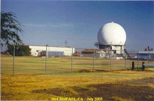
This photo, taken near the original site entrance, shows the AN/FPS-67B search radar with the softball field in the foreground and the LRR Ops building to the left (north). [looking southeast]
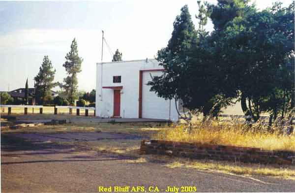
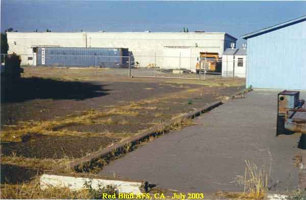
This photo was also made near the original site entrance, and shows what appears to be the firehouse in the foreground and what appears to be the Recreation Building in the background. [looking southwest]
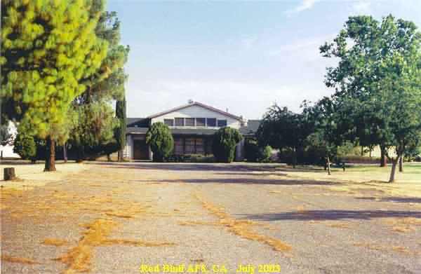
This view is a close-up of what is believed to be the Recreation Building. [looking south]
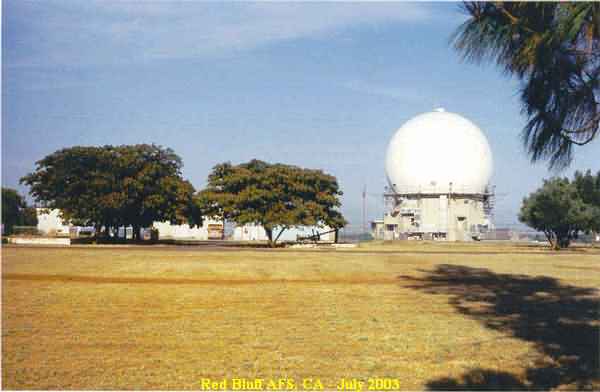
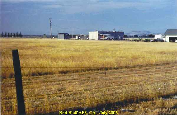
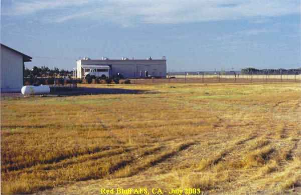
This photo shows the former barracks and cantonment areas, with the technical area in the background. Most of the non-technical areas are now part of a county park. [looking east]
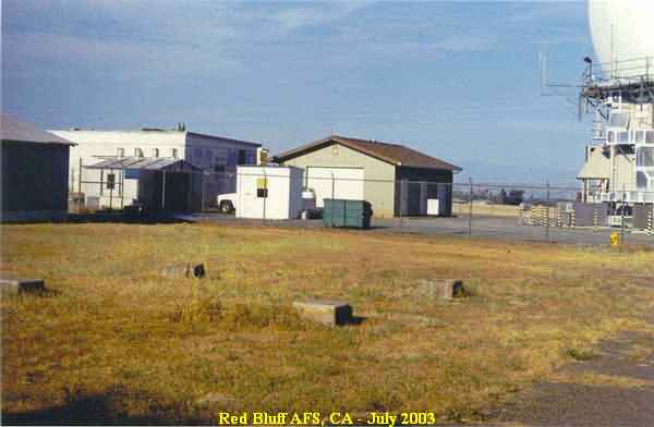
This photo shows the foundations/footings of one of the two AN/FPS-6 height-finder radar towers. The other AN/FPS-6 tower was on the other side of the Ops building seen in the background (now inside the FAA compound). [looking northeast]
This photo shows the remaining section of the former USAF Operations building. [looking east]
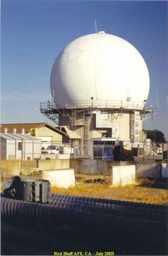
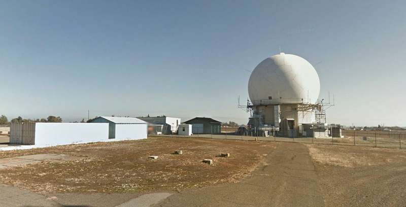
This photo shows a close-up of the AN/FPS-67B search radar tower. [looking southeast]
This photo shows the GATR Site that is located a couple of miles east of the radar site. [looking northeast]
This final photo provides another view of the GATR Site. [looking north]
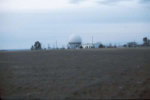
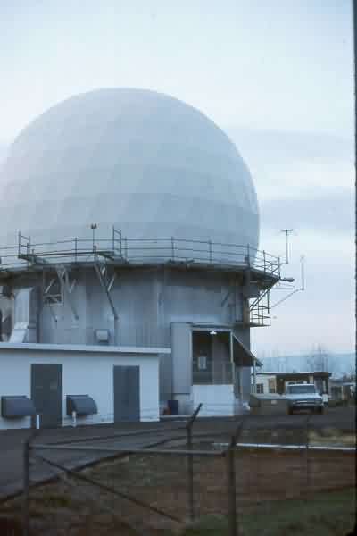
December, 1988 photos contributed by Mark Morgan