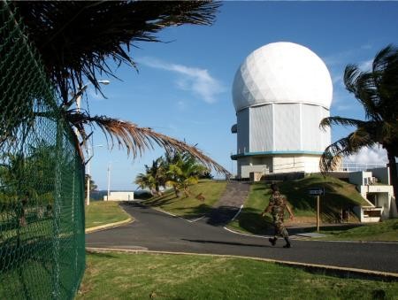
Recent Photos of Punta Salinas Radar Station, Puerto Rico
The following four aerial images (all circa 2019) are courtesy of Google Maps 3D view:

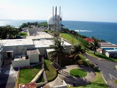
Looking North
.

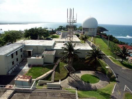
Looking East
.

Looking South
.

Looking West
............................................................................................................................................................................................................
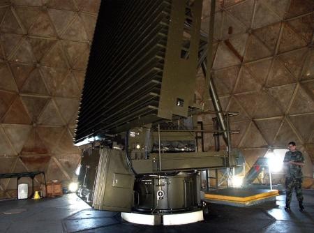
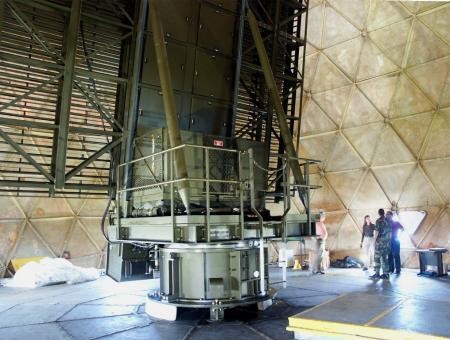
FPS-117
FPS-117
FPS-117
FPS-117
FPS-117
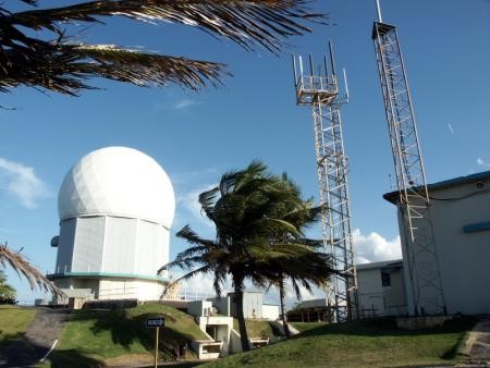
FPS-117 Sail
FPS-117 Sail
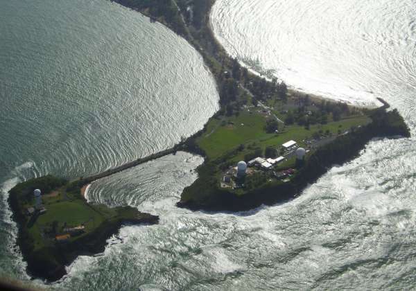
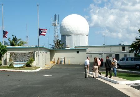
Photo source: http://www.panoramio.com/photo/3326704
(c) Copyright - All Rights Reserved - Displayed Here for Historic / Non-Commercial Purposes Only
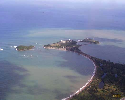
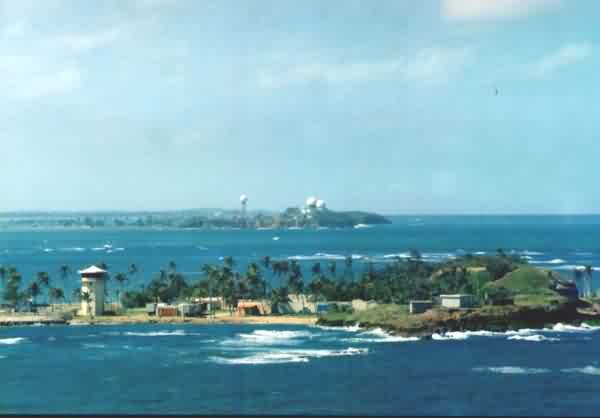
USGS Photo Source: http://geology.uprm.edu/Morelock/GEOLOCN_/coast/bay.htm (dated 2001)
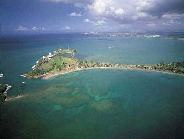
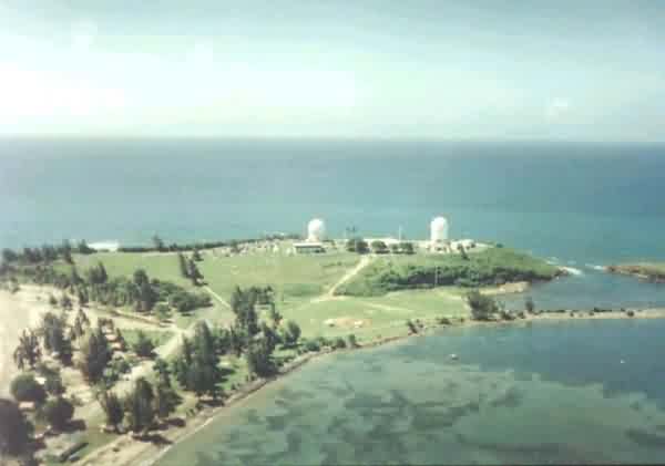
Photo Source: http://groups.msn.com/PuertoRicoBoricuasdeCorazonClub/photoalbumtoabaja.msnw
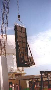
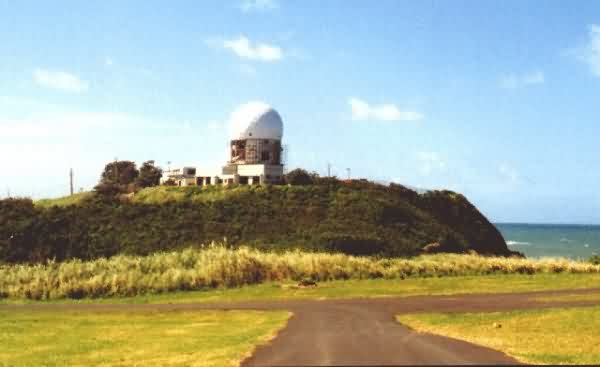
Photo source: http://www.geocities.com/prspectrum/
Shows the sail for the then-new AN/FPS-117 radar
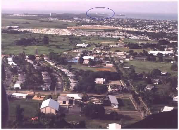
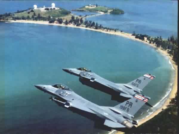
Source: http://www.anzwers.org/free/navyscpo/barry_hester_sabana_seca_aerial.html
From the 140th web site http://www.prsanj.ang.af.mil/140th/pic1.htm
------------------------------------------------------------------------------------------------------------------------------------------------------------------
Courtesy of Axiom Images; displayed here for historic / non-commercial purposes only
source: http://www.axiomimages.com/aerial-stock-footage/view/AX101_028
