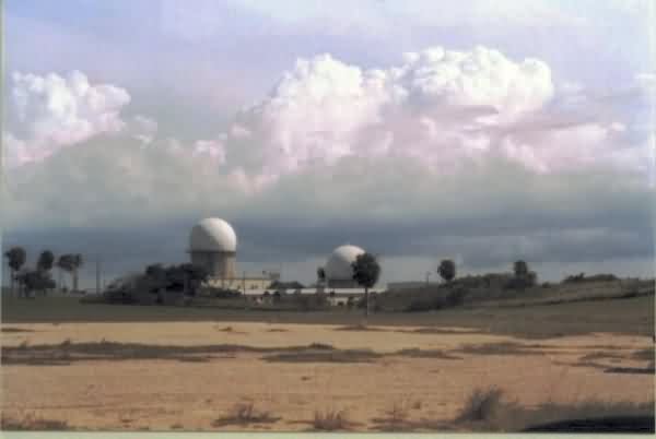
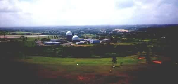
Recent Photos of Punta Borinquen Radar Station, Puerto Rico

............................................................................................................................................................................................................. 

The following four aerial images (all circa 2019) are courtesy of Google Maps 3D view: 


PuntaBorinquenRadarStationPuertoRico_Aerial_Google_N.jpg

Looking North  

.

PuntaBorinquenRadarStationPuertoRico_Aerial_Google_W.jpg

Looking East 
.
PuntaBorinquenRadarStationPuertoRico_Aerial_Google_S.jpg
.
Looking South
.
PuntaBorinquenRadarStationPuertoRico_Aerial_Google_E.jpg

Looking West 

.

............................................................................................................................................................................................................. 

From the web site http://community.webshots.com/photo/32098595/32099001UHIvNlOVRZ 
.

From the 140th web site http://www.prsanj.ang.af.mil/140th/pic1.htm

.

.

From the website https://www.dvidshub.net/image/2321134/executing-mission 

PuntaBorinquenRadarStationPuertoRico_recent_3.jpg

public domain 

.............................................................................................................................................................................................................. 

source:  https://www.wikiwand.com/en/Aguadilla,_Puerto_Rico 

PuntaBorinquenRadarStationPuertoRico_recent_Aguadilla.jpg