Recent Photos of Port Orford, OR GFA
Contributed by Dick Konizeski
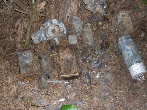
Here are a few images of the old corroded radar components that I, my son-in-law, and grandson uncovered underneath a mat of needles on the forest floor at the P12A old gap filler location. It was all in a pile, so I know it was a dumping ground when the site was deactivated.
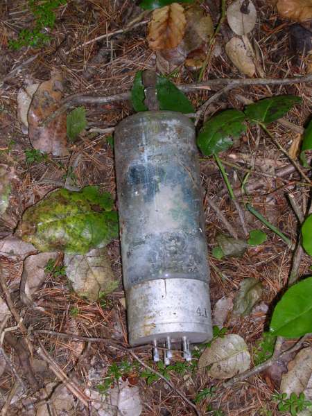
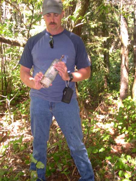
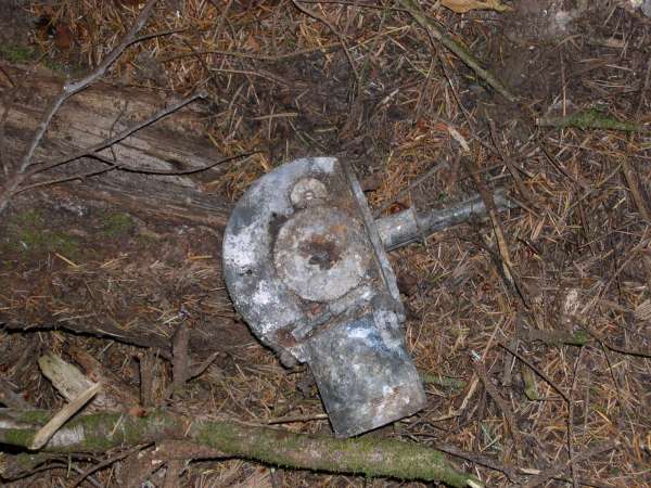
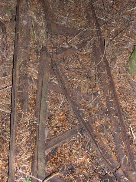
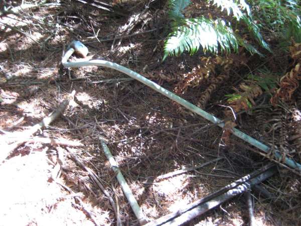
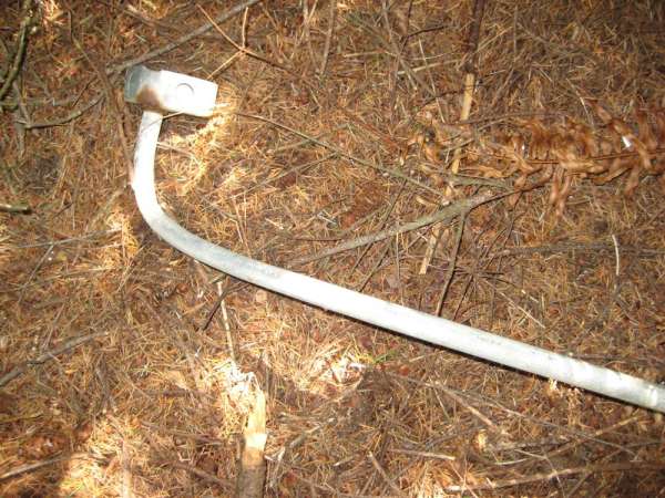
In the pile are two short(app 8 inches) sections of waveguide, what looks to be a waveguide switch(?), a 5849-1709 (or maybe it`s a 7709) vacuum tube with plate cap, several other small vacuum tubes, what appear to be transformers and capacitors, and various other chunks of unidentifiable materials. My grandson uncovered this stuff lying in a heap at the foot of a tree, underneath the needles and humus. I found the 1709 tube located 15 or 20 feet away from the other stuff, and it was sticking out of the ground underneath a rhododendron - that`s what originally tipped me off that we were in the right place. One of the images is of my son-in-law holding the tube.
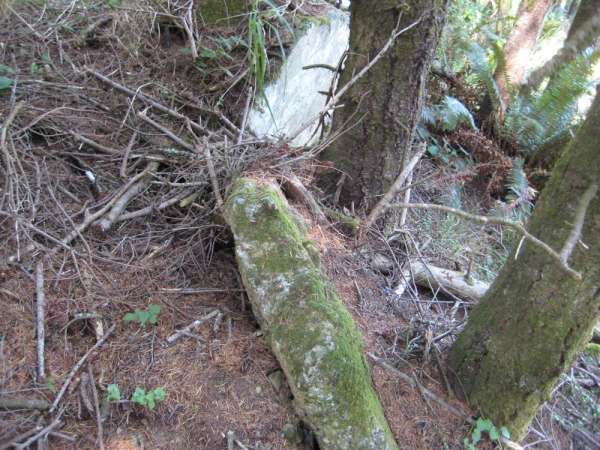
The several pieces of rusted tower pieces are located several feet away, with a couple of pieces of easily recognizeable galvanized conduit in the same location.
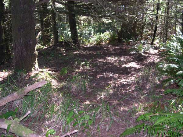
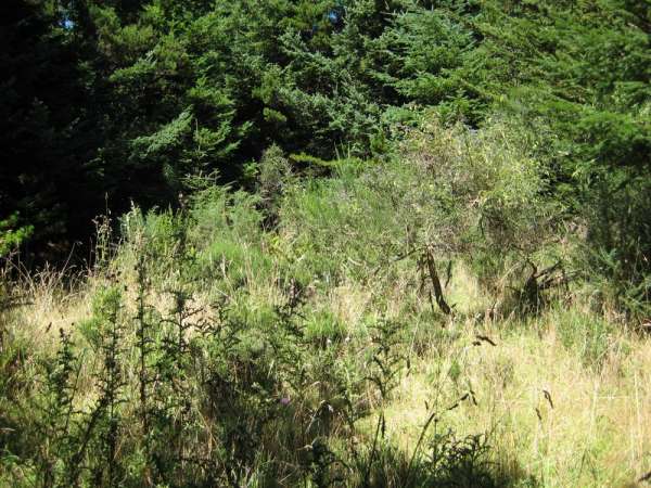
You`d never have known an installation was ever there, except by comparing the size of the trees that have grown since deactivation ,and the other old-growth trees that surround the area.
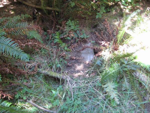
Most of the concrete chunks we saw were covered in a thick mat of needles and humus. Several pieces had been bulldozed to the side where the ground begins falling downhill from the flat area of the site. Other pieces are recognizeable underneath the rass and humus. I`d like to have had a flat-nosed shovel to scrape it away to see if any of the concrete pad remains.
We uncovered several chunks of concrete, and never did see any of the tower anchors - not that they aren`t there someplace - just that the vegetation is so densethat a person would need to take some time to uncover what might be there. You`d need some shovels and a maddock and maybe a brush hook, and I don`t know if the museum staff would buy into that. It would be interesting to find out.
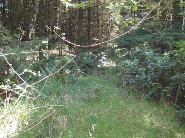
The old access road, which I thought would be easily found, is just a path now, encroached upon on both sides by rhododendrons, salal, huckleberry, ferns, saplings,and other vegetation. I don`t know it the road was ever paved or not, you sure can`t tell it now. The road crosses the path from the right, the path being the currently maintained route leading from the museum and boathouse out to the edge of the cliffs.
Port Orford Heads State Park, and the Lifeboat Museum, are wonderful places to visit. Fabulous scenery and views of the ocean and coast, great whale watching, with several well-maintained trails and stragegically placed benches for sitting and viewing.
Contributed by John Stanton
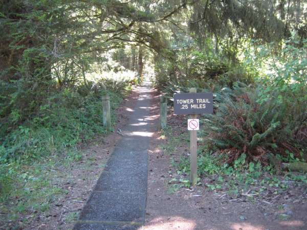
The concrete path leading to the old access road

This is the view I remember from the site but this picture was taken a bit lower on the trail, it was a great day!
The old access road leading from the concrete path to the site
Some concrete footings
More concrete broken up
Electrical fittings and some structural supports
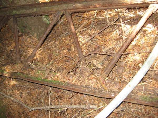
Structural supports I think
Electrical fittings
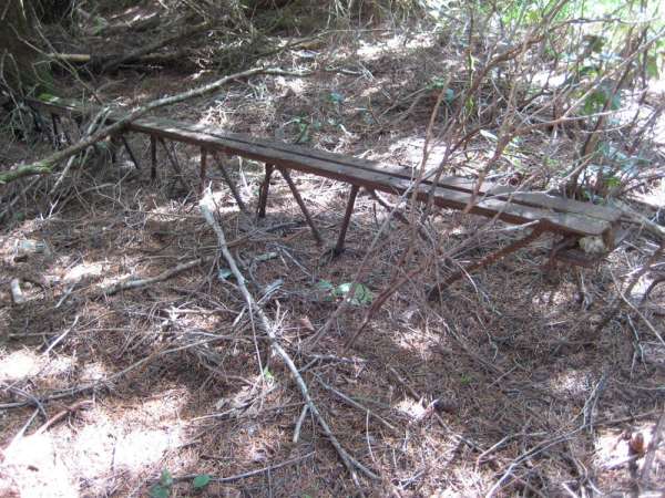
Looks like roof support beams
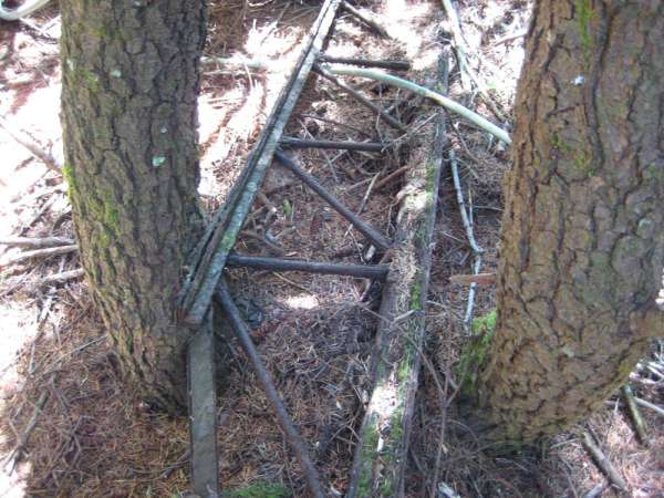
More support stuff
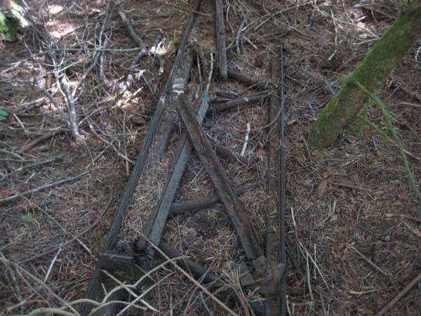
More support stuff
The site from the right hand side
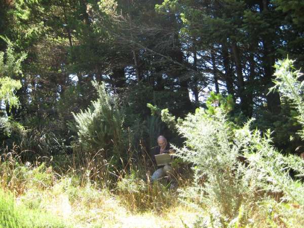
The site from the left hand side and me getting a GPS fix on my computer. This was the side I remember as being completely open with a view of the sea.