Recent Photos of Port Isabel AFS, TX
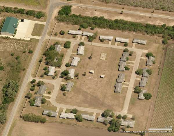
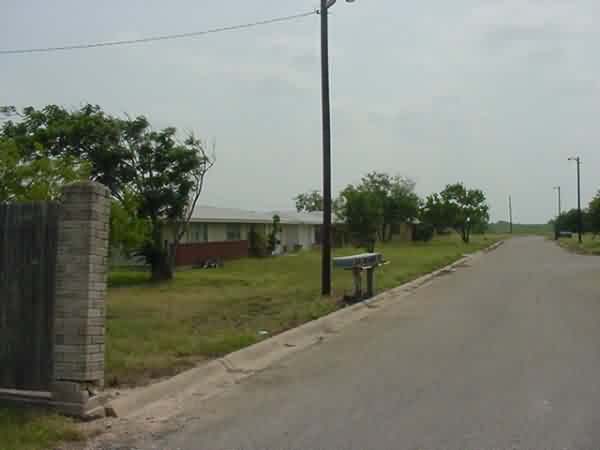
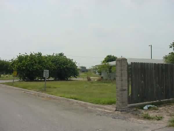
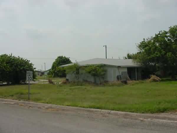
The view is looking roughly east-northeast. It appears that only four (4) houses remain today. There were twenty-seven (27) units originally.
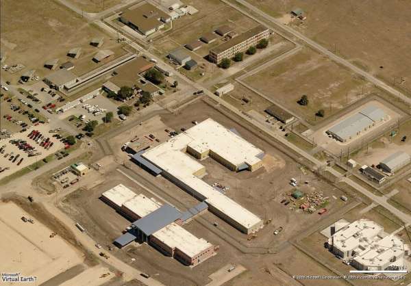
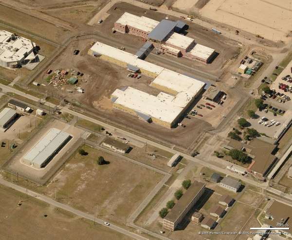
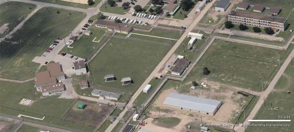
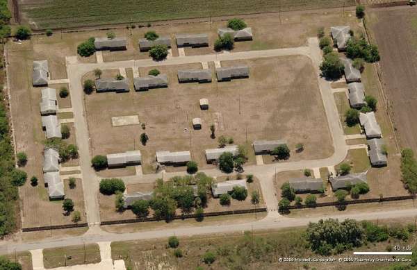
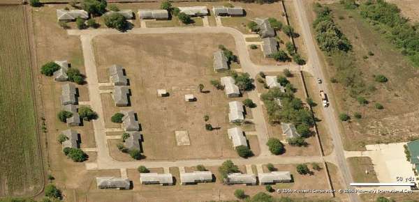
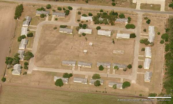
This set of "Birds Eye" images, from the Microsoft "Virtual Earth" website (http://local.live.com), is interesting in that some views are clearly older than others.
Specifically, some views show the original Air Force Long-Range Radar (LRR) Operations building and the diesel Power Plant building, while other views show new construction at the same location.
Compare the recent radar-site photos to the one vintage photo at http://www.radomes.org/museum/photos/PortIsabelAFSTX1958.jpg and the document at http://www.radomes.org/museum/documents/811thBldgLocator.jpg.
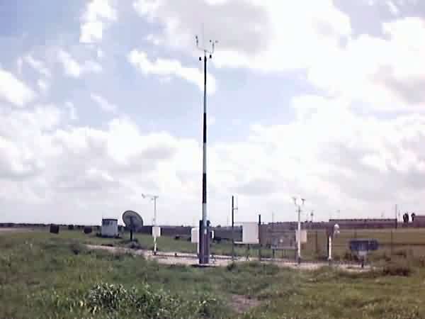
Looking North
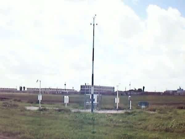
Looking North
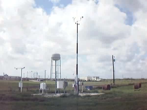
Looking South
Looking West
Looking West
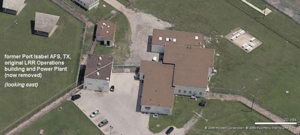
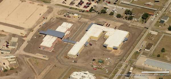
Ops building looking East
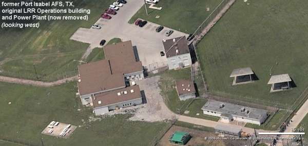
Ops building looking West
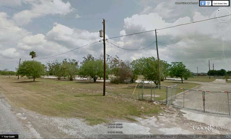
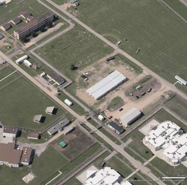
The old 811th AC&W Squadron family-housing area appears to be completely unoccupied.
Looking North
Looking East
Looking South
Looking West
2003 photos of the Port Isabel housing annex contributed by Scott Murdock
From the web site http://www1.ncdc.noaa.gov/pub/data/stations/photos/20024096/