Recent Photos of Philomath GFA, OR
.....................................................................................................................................................................................................
The first two photos (aerial views) are courtesy of
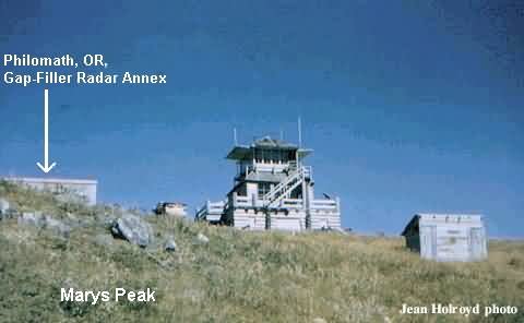
The gap-filler radar building is no longer present. It stood near the center of these two photos where the larger building now stands (which actually straddles the concrete-pad foundations of the old radar building).
.

Looking north
.

Looking west
.
Marys Peak CO2 Concentration Site photo source: http://terraweb.forestry.oregonstate.edu/research.htm
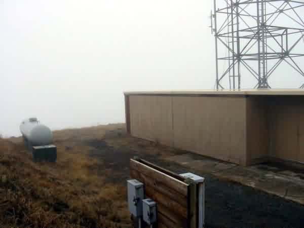
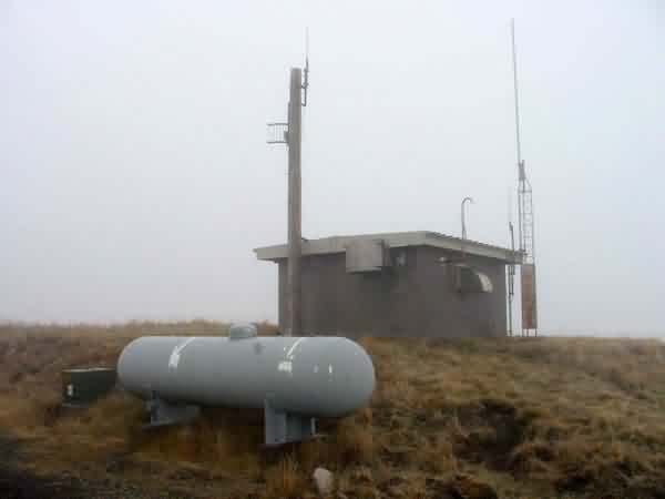
The following photos contributed by Tim Smith
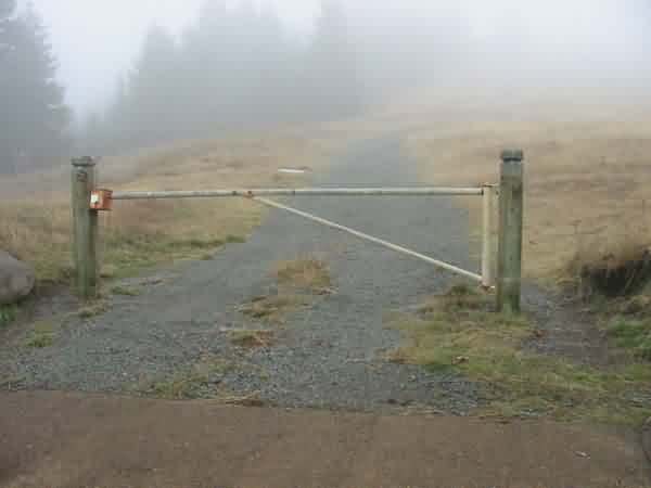
The gate on the access road.
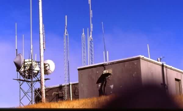
This photo (circa 1992) shows the former gap-filler radar building from the southwest corner. The diesel-generator wing is in the background and left, with the radar-equipment section in the foreground to the right (west). [Looking ~ northeast]
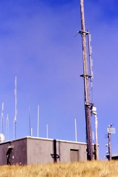
This photo (circa 1992) also shows the former gap-filler radar building from the southwest corner (the radar-equipment wing). [Looking ~ northeast]
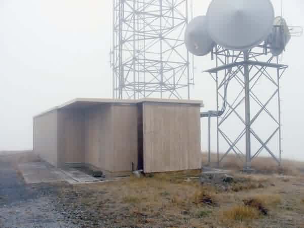
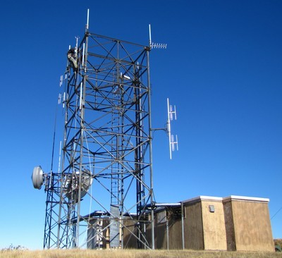
This photo (November 2002) shows a new radio facility where the Air Force gap-filler facility used to stand. [Looking ~ southwest]
From the web site http://www.firelookout.com/or/maryspeak.html