Othello AFS, WA
--------------------------------------------------------------------------------------------------------------------------------------------------------------
The first three photos were taken by Tom Page on 18 September 2016:

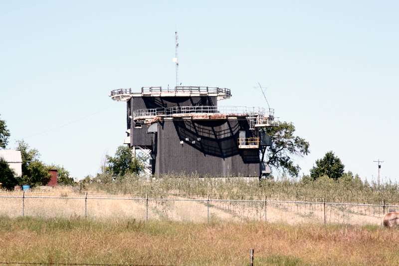
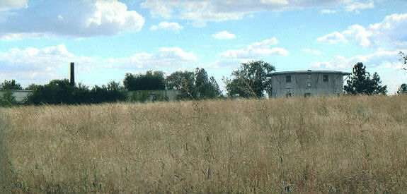
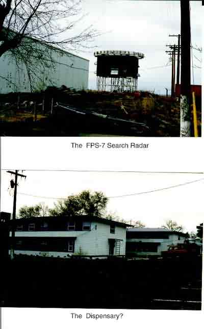
A distant view of the former radar station, as seen from State Road 24 to the north -- the old AN/FPS-7C search radar tower is seen near the center on the right, and the old AN/FPS-26 height-finder radar tower is seen near the center on the left (looking south)

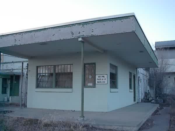
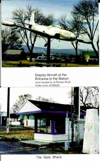
A view of the former radar station from the main gate -- not much has changed in recent years (looking west)

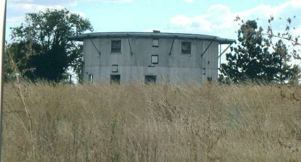
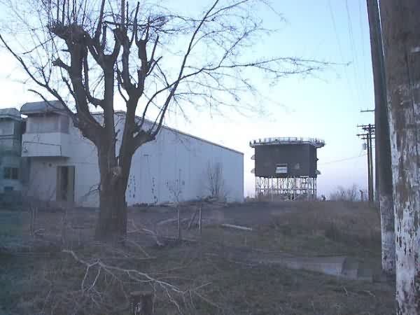
A general view of the former radar station from behind the old NCO Club (looking northwest)
2011 photo contributed by Richard Hazelmyer
2006 photos contributed by Dick Konizeski
Dick writes:
Just returned from the 2006 Othello AFS reunion, where I shot a few images for the Recent Photos section.
The site and housing area are in a sad state of affairs, with tall weeds, grasses, and shrubs growing everywhere. The images were taken from the dead-end gravel road just outside the chain link boundry fence. The gravel road, which is accessed from the road leading diagonally up the hill to the base, now has two very nice homes and an apple orchard overlooking the valley below and the town of Othello in the distance.
The towers and buildings look to be about 50 or more feet inside the fence from the road.
The older search tower building is located to the right and back from the FPS-7C tower.
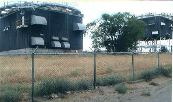
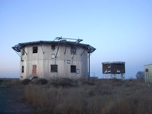
FPS-26 and FPS-7C towers
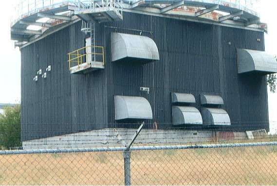
FPS-26 tower
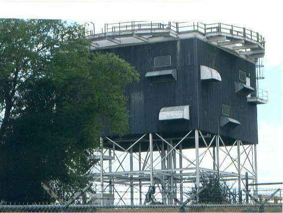
FPS-7C tower
Old FPS-3/20 tower
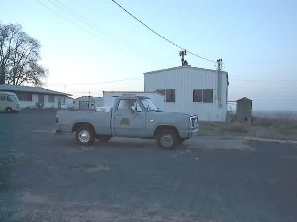
Buildings on the north side
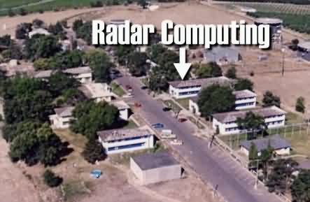
From the web site http://www.radarcomputing.com/dir.htm
The following photos were taken in March, 2001 by David Dorman
David writes:
"My wife and I are new to the Moses Lake, WA area and were out for an afternoon drive and came across Othello AFS. I took a several of digital photos for your museum. It appears that a Baptist church school might have owned the facility for a while, but it is now being used to house low-income, possibly migrant farm workers. The base housing across the highway is in poor shape and has a more permanent farm population living there."
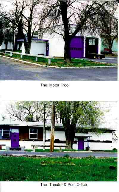
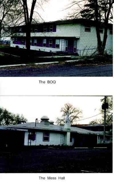
The following contributed by Bill & Mary Wykes
 |
These recent pictures were taken by Bill Wykes, a former Othello Air Force Station troop. Bill and his wife Mary live in the town of Othello, located about 7 miles North. Mary`s father was also attached to the Radar Site as a Civil Servant for 18 years. Many site personnel lived in the town of Othello and drove to the site. The surrounding area is primarily agricultural, and I remember sitting outside on the catwalk of the FPS-26 tower, watching the cropdusters working the fields several hundred feet below. The Columbia River is about 40 miles west, Mt Ranier about 100 miles. Moses Lake and the former Larson AFB are about 17 mile North, and the Hanford Site is several miles Southwest. A small Commissary and BX were located on the base providing food staples and toiletries. This was paradise for those of us coming from more remote sites such as Opheim, Montana, where very little was provided in these services. The site was used as a Boys School for several years, and the current owner is upgrading some of the buildings with hopes to use it again as a Christian boys school, patterned after a boys military academy. He is interested in preserving portions of the site to represent what the radar station was like during its operational years, and will happily accept visitors to the site so if interested, email me (Dick Konizeski), to provide the owner`s phone number and address. My email address is available on the Site Roster. The Othello Community Museum is starting a unit on the Radar Site and is gathering information at this time. |
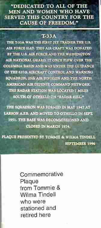
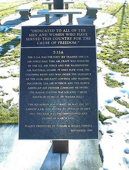
Another photo of the commemorative plaque contributed by Brian Sewell
The following photo contributed by Stanley Duro
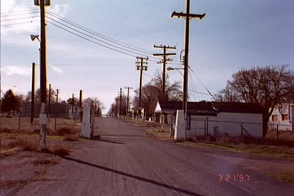
Main Gate