Recent Photos - Osceola AFS, WI
---------------------------------------------------------------------------------------------------------------------------------------------------------------------------
The former GATR building for Osceola AFS has now been razed. November 2021.

---------------------------------------------------------------------------------------------------------------------------------------------------------------------------
17 September 2018 photos contributed by Tom Page

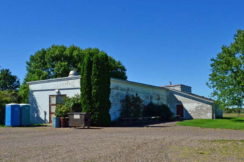
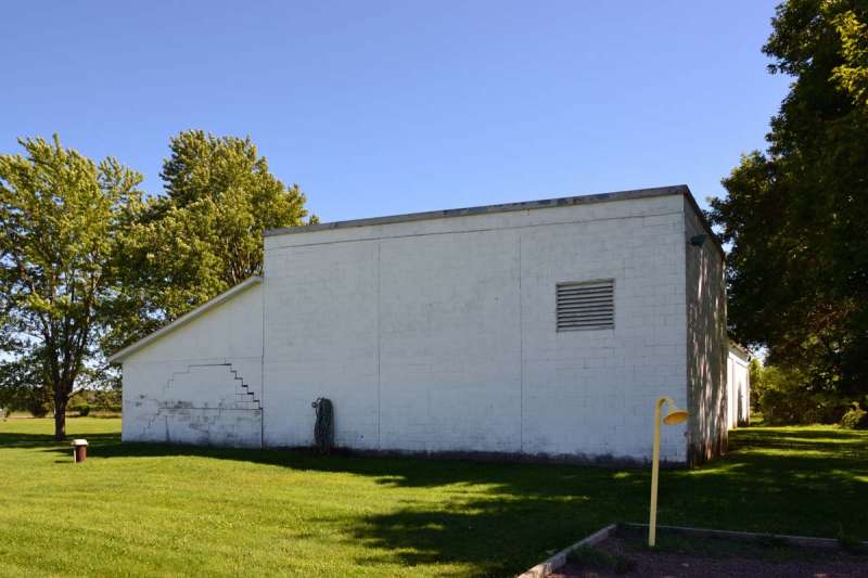
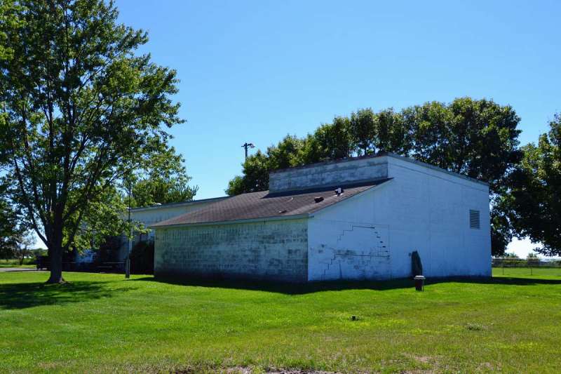
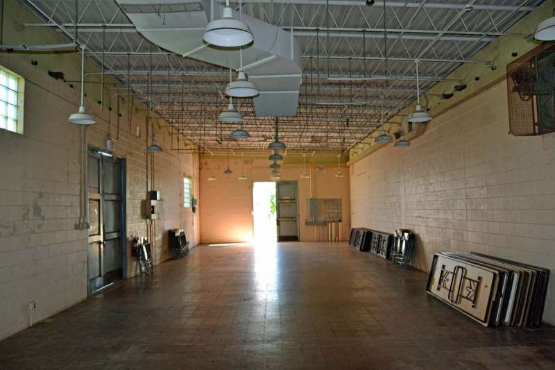
AC&W Radar Operations Building, south end and east side (looking northwest)
.

AN/CPS-6b search radar concrete pad, now patio (looking north)
.

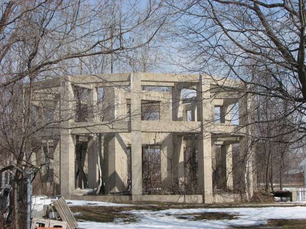
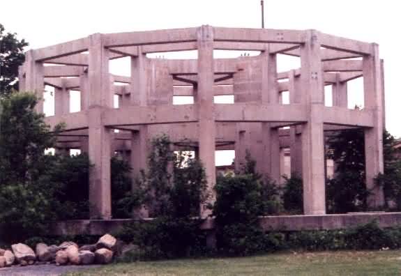
AN/FPS-7 search radar foundations (looking northwest)
.

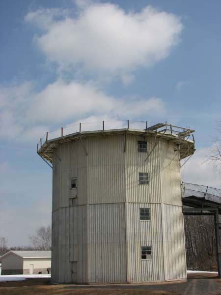
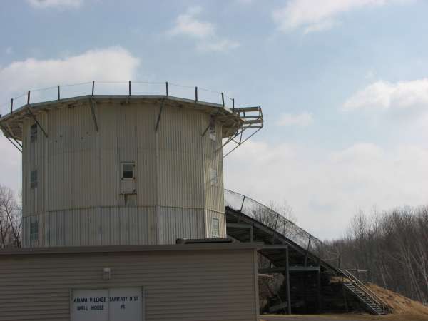
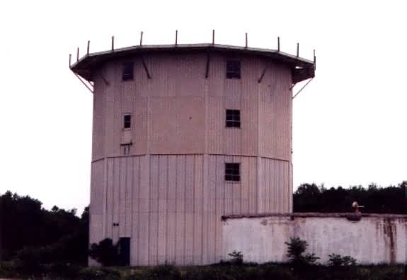
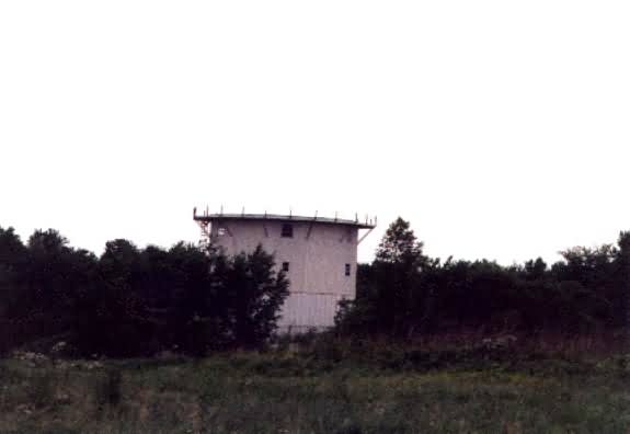
AN/FPS-6 height-finder radar tower (looking west)
.

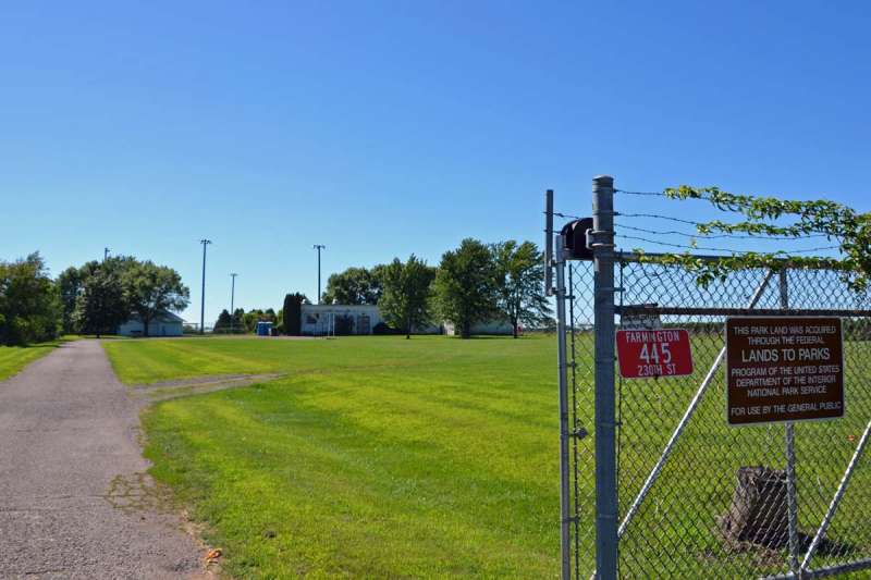
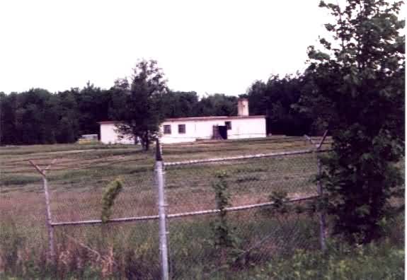
GATR site (looking west-northwest)
.
August 2012 GATR Building photos contributed by Scott Murdock
The following photos source: http://flickr.com/photos/9199449@N08/tags/arc/.
Copyright � -- All Rights Reserved. Displayed Here for Historical Purposes Only.
May 1998 photos & notes contributed by Lt. Col. Gerald L Greenwood, USAFR Ret.
I have been driving through Osceola for many years when we go camping in northwest Wisconsin on Memorial Day weekend. Two years ago (1998), I decided to try to find the old Osceola AFS. After finding someone who knew where it was, I took Hwy, 35 south of Osceola to East Farmington. I turned east on Farmington Road, and drove about 4-5 miles. As I approached the site on the south side of the road, it was easily recognized by the radar towers, barracks, and other buildings still standing.
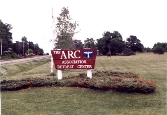
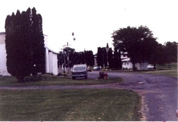
The old radar site is presently occupied by the ARC (Association Retreat Center). I turned in on the access road and drove toward the main gate house.
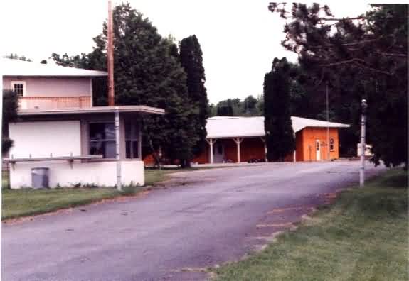
The main gate house is on the left; the gates are gone. The guest house building is behind the main gate house. The flagpole is on the right past the main gate.
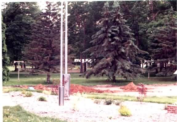
The flagpole is anchored down with vertical I-beams at the base.
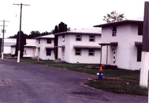
Proceeding east on the access road, the four barracks are on the north side of the road.
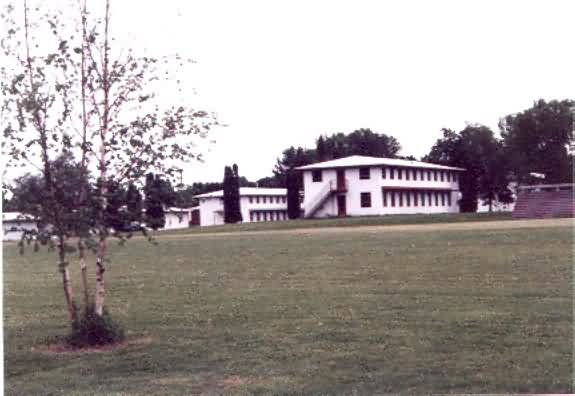
The open area behind the barracks includes a ball field on the right in the photo.
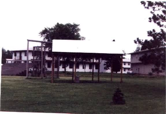
The ball field is located between the barracks and Farmington Road.
The Ops building is east of the barracks on the south side of the road. When I got to the Ops building, someone walked up to my van and asked me what I was doing there. I told him that I was just visiting the old radar site. He said that was OK, just stay on the roads.
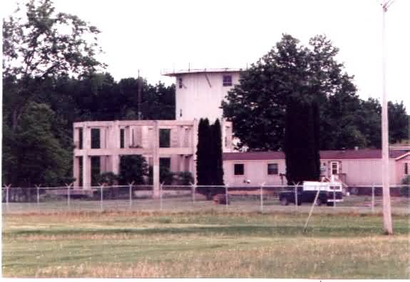
East of the Ops building were the two FPS-6 height finder towers and the FPS-7 search tower lower support structure.
The lower support structure of the FPS-7 tower appeared intact and in good shape.
South of the search tower is one of the FPS-6 height finder towers.
The other FPS-6 height finder tower is east of the search tower.
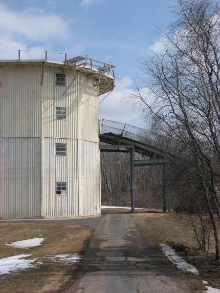
This building on the east end of the site beyond the perimeter fence may have been the GATR building. Ed. Note: We now know that the true GATR site was several miles north and east of the radar station. The building shown was either the old (manual) Ground-Air Radio transmitter or receiver facility.
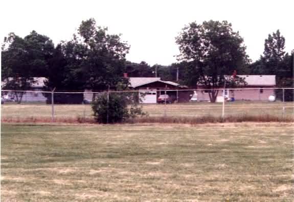
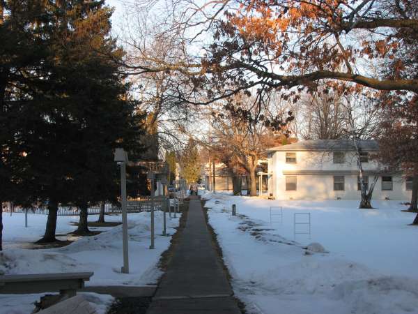
The twenty-one units of site housing are located just north of the radar site. five units are south of Farmington Road, and sixteen units are north of Farmington Road. All houses appeared to be occupied and in good condition.