North Charleston AFS, SC - Recent Photos
It`s all gone!

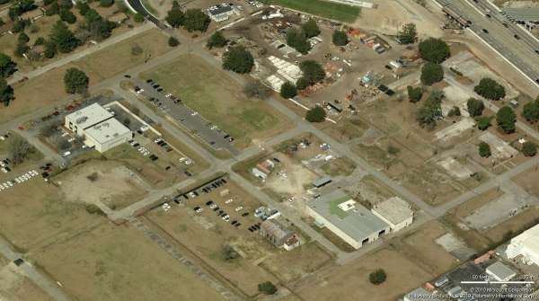
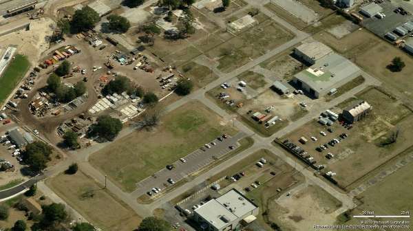
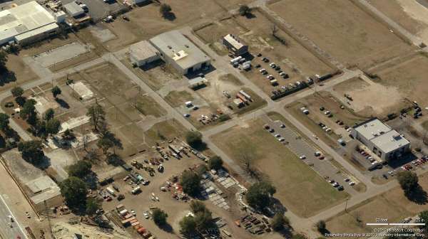
As shown in this 2014 aerial photo from 'Google Maps' and in Darrell's recent photos below, all original Air Force structures at the former North Charleston AFS are now gone.
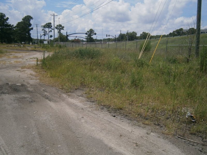
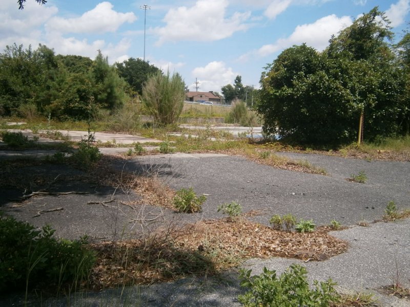
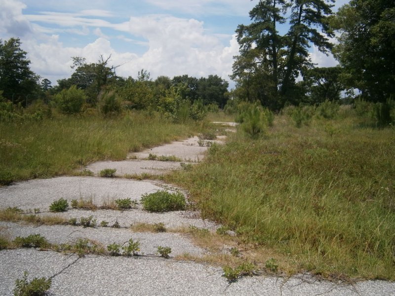
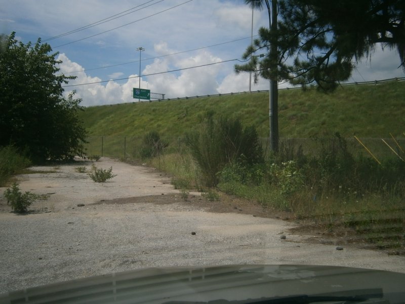
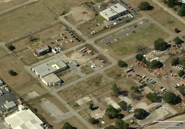
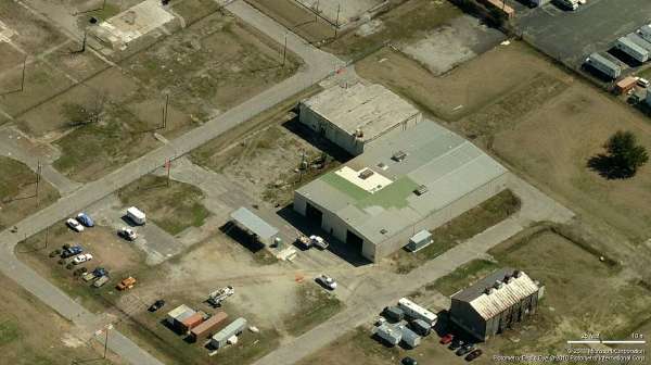
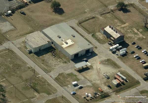
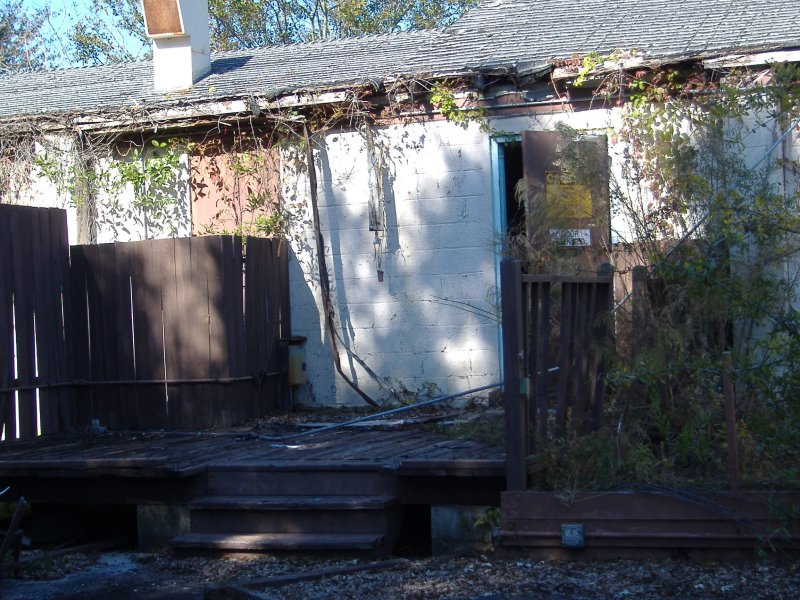
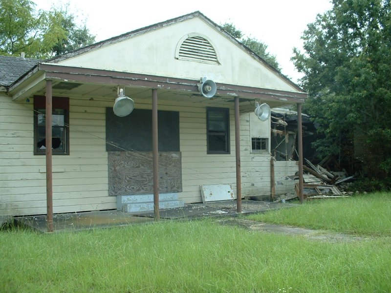
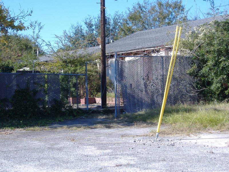
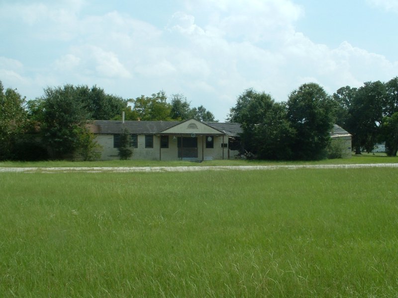
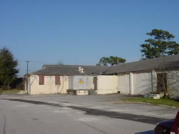
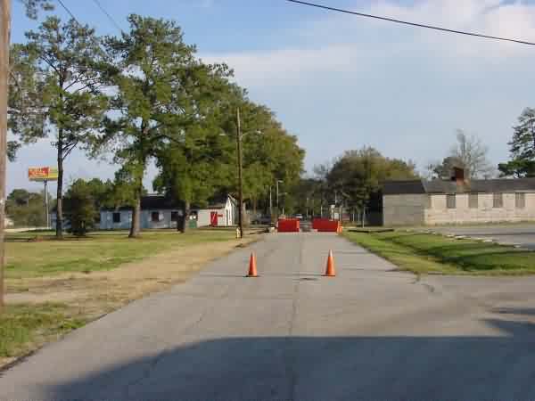
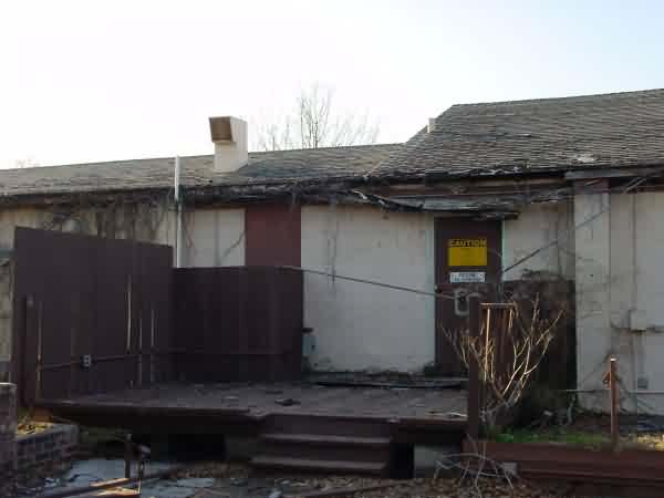
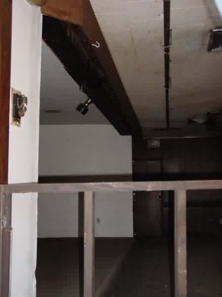
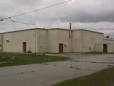
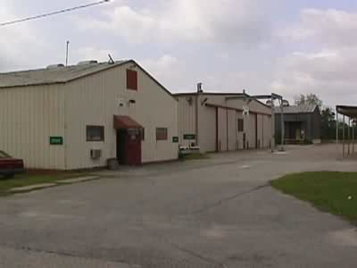
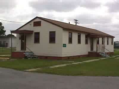
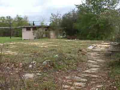
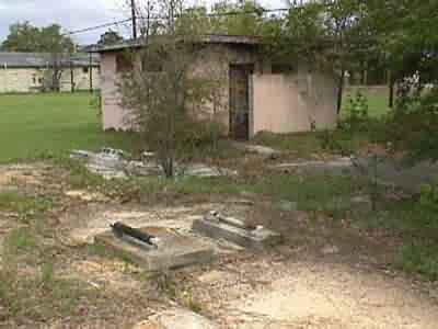
2013 photos contributed by Darrel Parker
Former location of the NCO Club.
Rec Center remains.
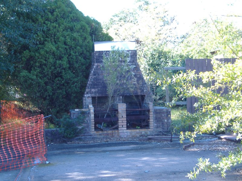
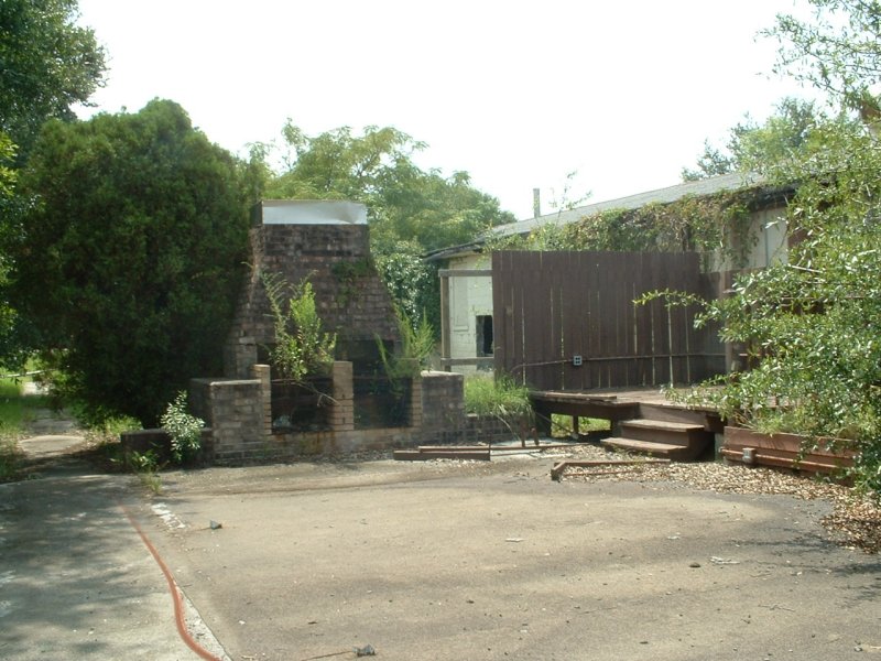
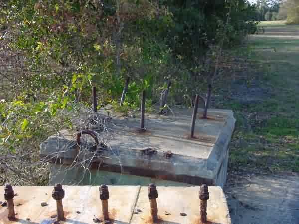
Remains of the Chow Hall.
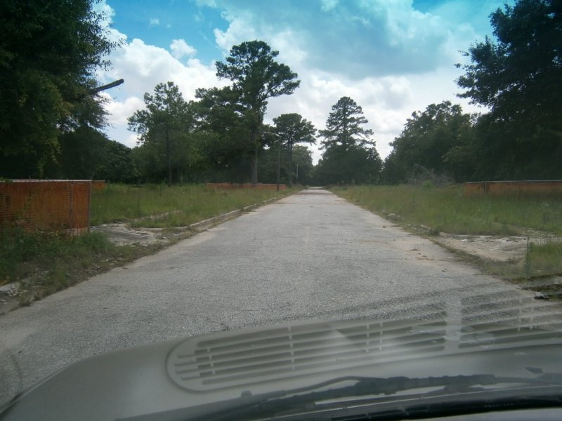
The new road.
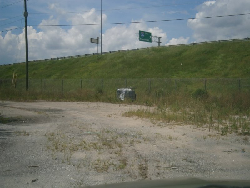
The new road.
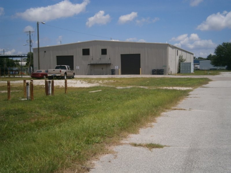
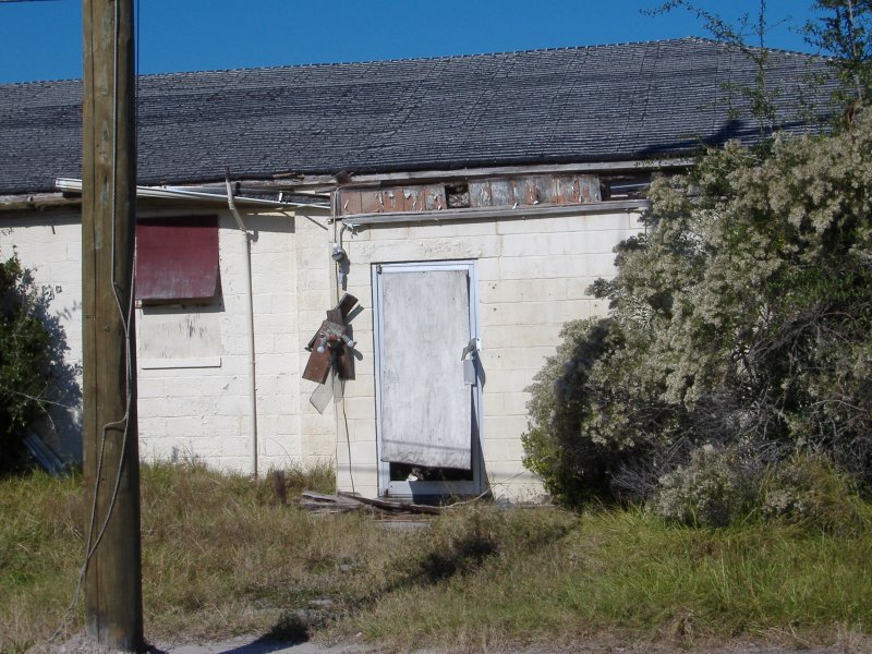
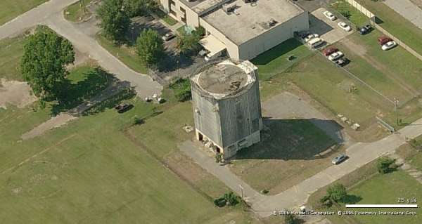
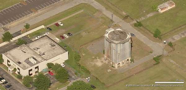
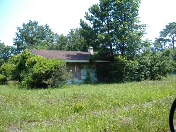
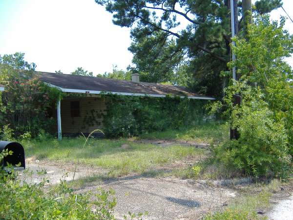
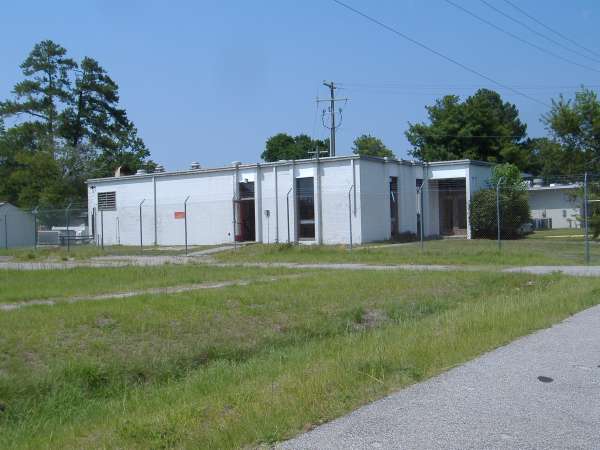
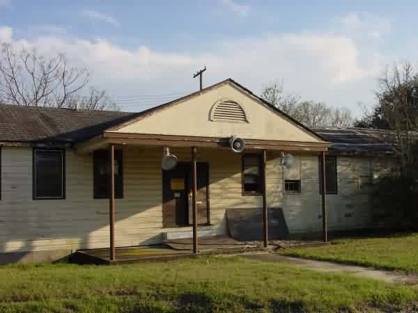
The only building remaining on site.
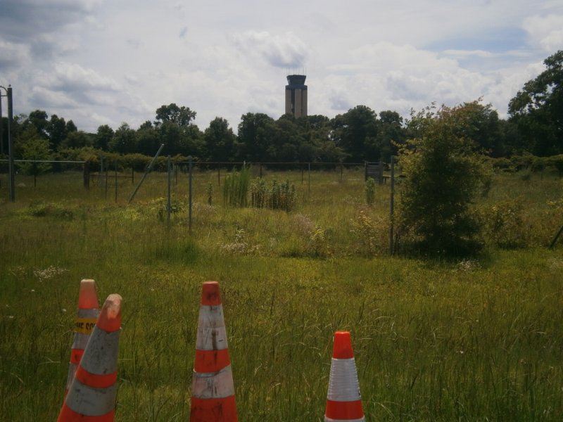
Radar tower stood here.
New entry to radar site.
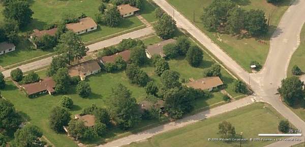
Nothing left of base housing. (Ed. note: Sure glad the street signs were "liberated" a while back)
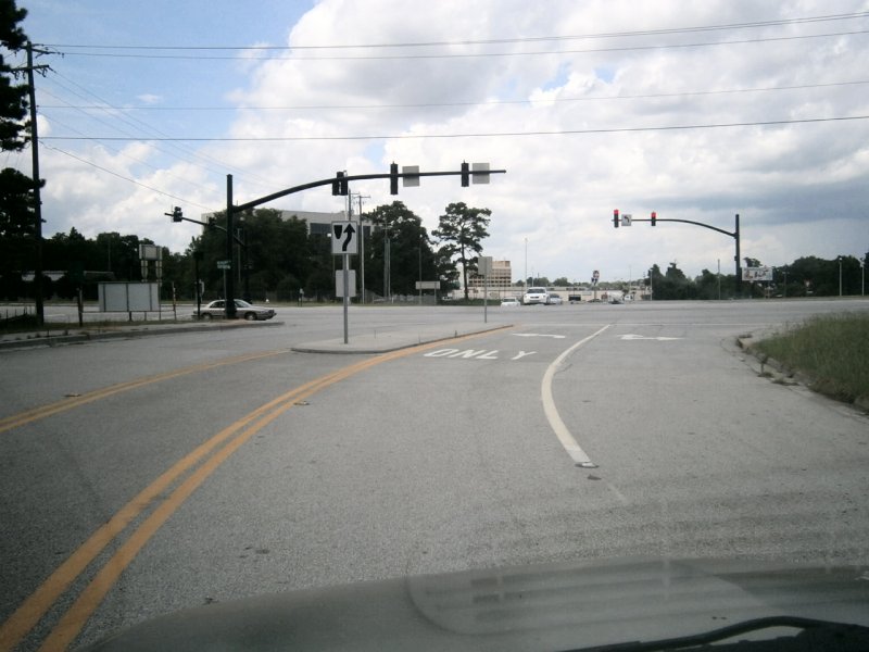
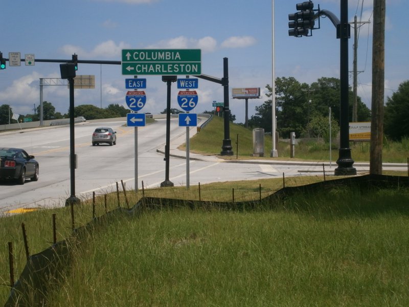
Leaving the site.
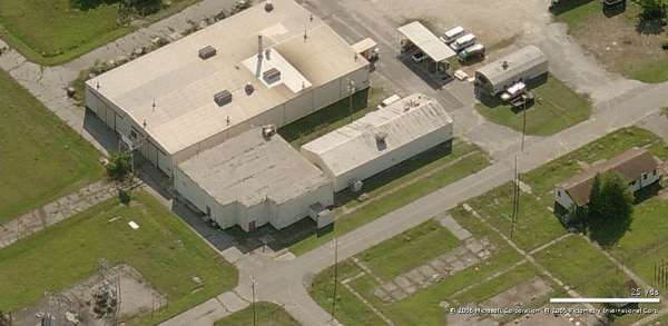
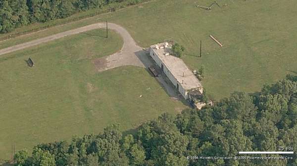
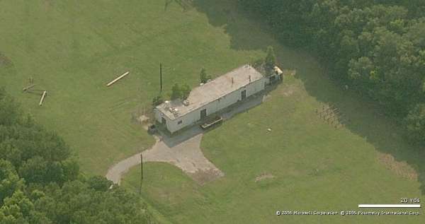
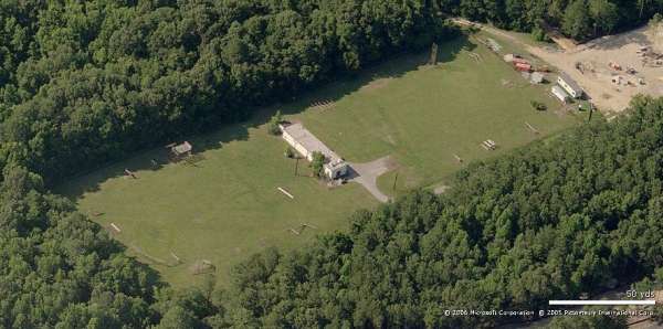
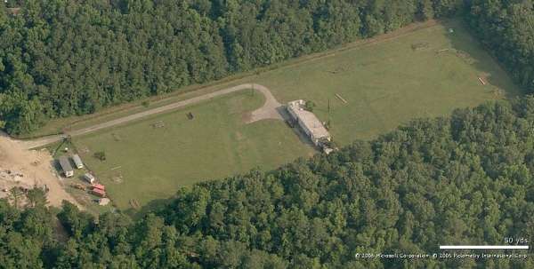
2010 imagery
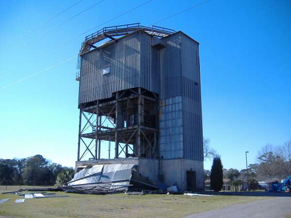
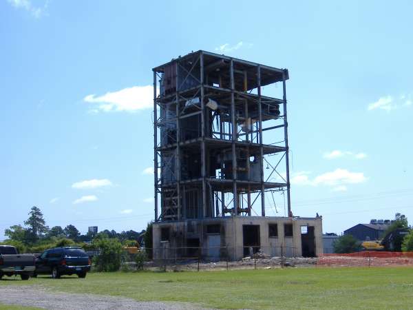
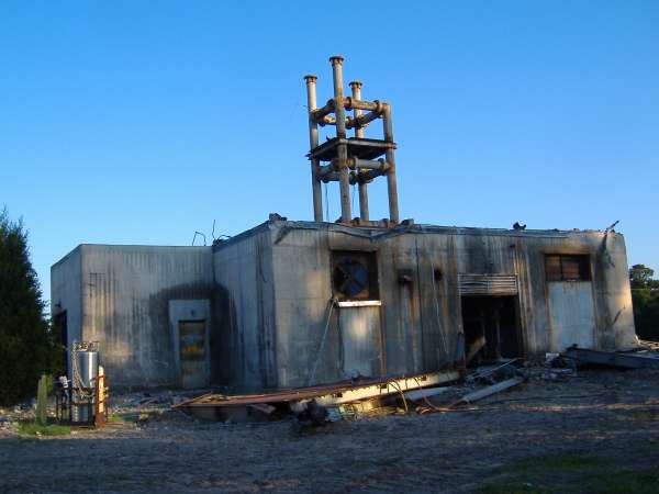
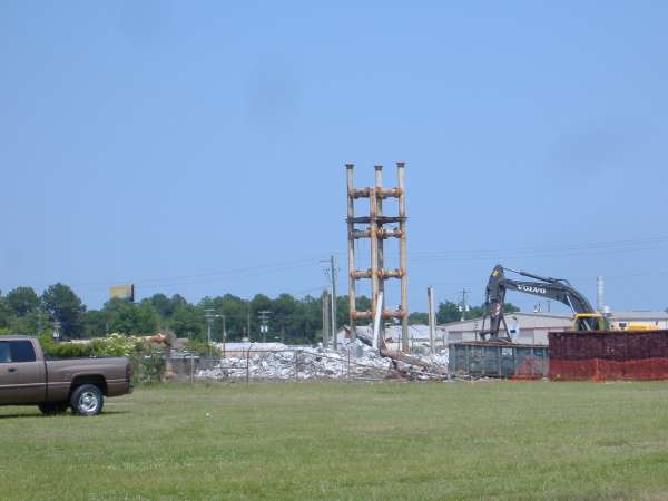
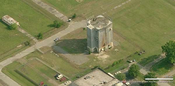
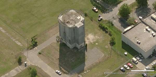
The destruction of the former North Charleston AFS is almost complete now. The SAGE addition to the Operations Building still stands, but the original section has been removed. Most of the cantonment area is now gone, as well as the AN/FPS-27 radar tower (as we already knew). The family-housing area still stands, and the GATR Building still stands, too (neither included here).
Site - Looking North
Site - Looking East
Site - Looking South
Site - Looking West
Operations - Looking East
Operations - South
The following five photos (thru June, 2008) contributed by Darrell Parker illustrate why the FPS-27 tower is no longer visible from the I-26/I-526 exit loop.

All that is left of radar tower as of June 9, 2008
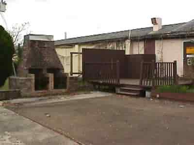
2005-2007 NCO Club photos contributed by Darrel Parker
Club Patio 2007
Club Patio 2005
Cooler... outside beer sales 2005
Club Main Door 2007
Side Door 2007
Back Side of Club 2005
Club Patio Fence 2007
Back Side of Club 2005
Cantonment Area - Looking North
Rec Hall - Looking West
Ops - Looking North
Ops - Looking East
Ops - Looking West
Housing - Looking North
FPS-27 - Looking North
FPS-27 - Looking East
FPS-27 - Looking South
FPS-27 - Looking West
FPS-26 - Looking North
FPS-26 - Looking East
FPS-26 & Ops - Looking South
FPS-26 - Looking West
GATR - Looking North
GATR - Looking East
GATR - Looking South
GATR - Looking West
GATR - Looking North
GATR - Looking South
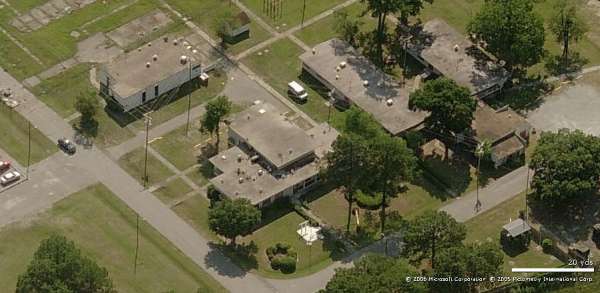
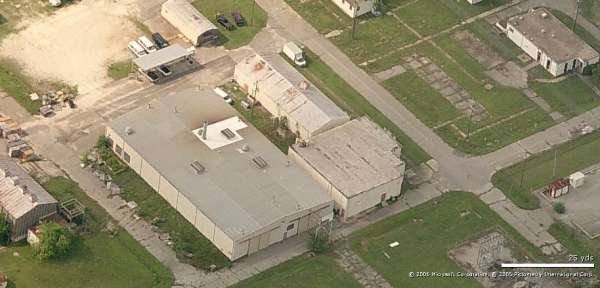
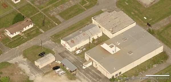
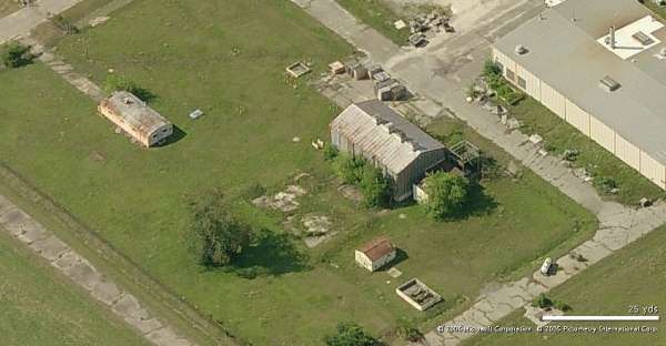
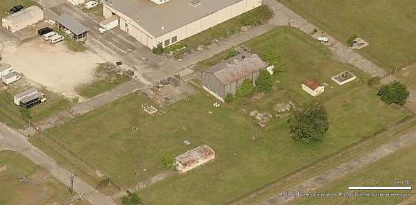
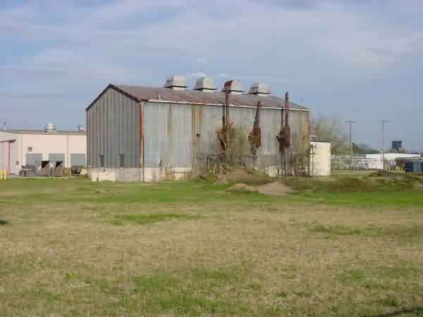
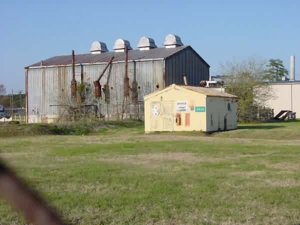
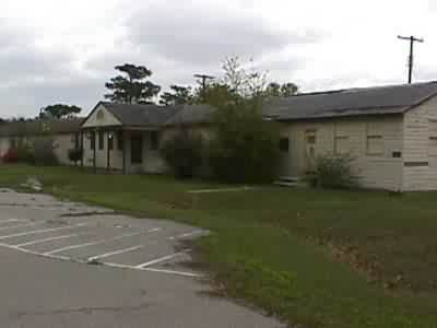
June 2008 photos & notes contributed by Darrell Parker
New entrance sign to the "station".
This land was the playground/park for family housing, they have now built an animal shelter here.
This land was the playground/park for family housing, they have now built an animal shelter here.
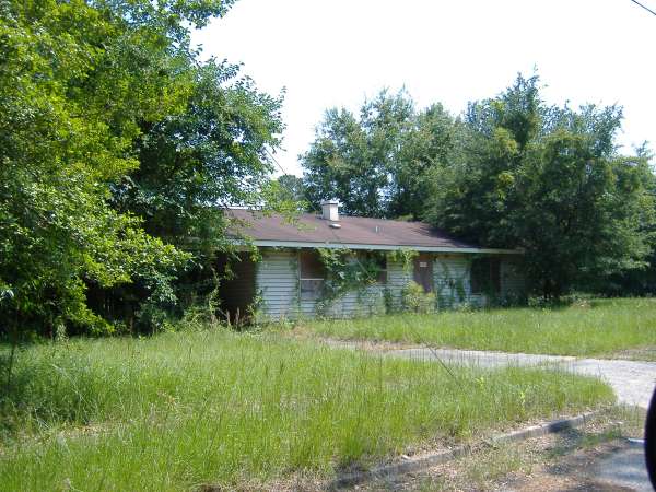

The housing area has pretty much been overtaken by vegetation.
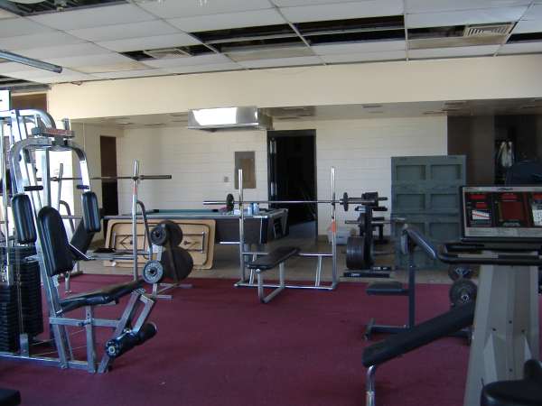
Former rec building, now used by the Marines.
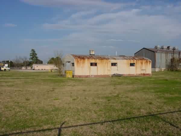
Former mess hall.
Former mess hall, inside.
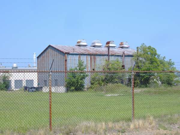
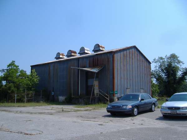
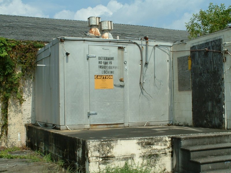
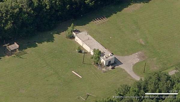
The power plant.
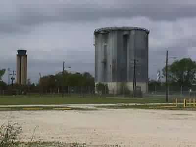
USAF Runway Control Tower As Seen From Radar Site.
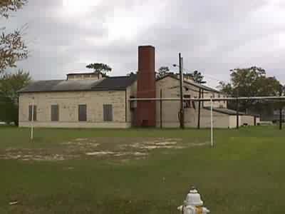
February 2003 photos contributed by Alex Cheek
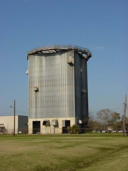
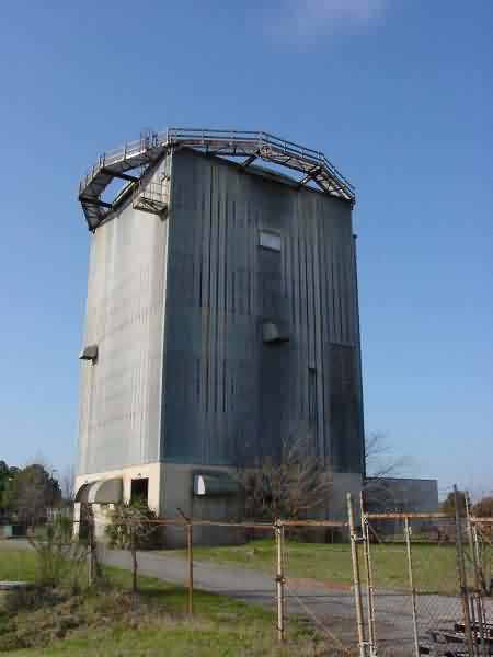
The surviving tower`s western and southern sides. Blue barrels were visible within the ground floor, and a sign on the fence noted it was hazmat storage.
The building [above] was the original manual Ground/Air/Ground Radio facility (before GATR)
...
Buildings on the southwest side of the station which were not documented in the photos taken to correspond with the wonderful numbered aerial view from 1999.
The fence is strong and intact, so I was not able to explore the power plant building.
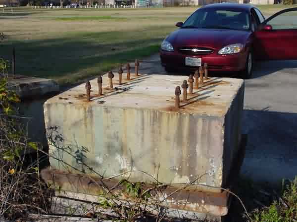
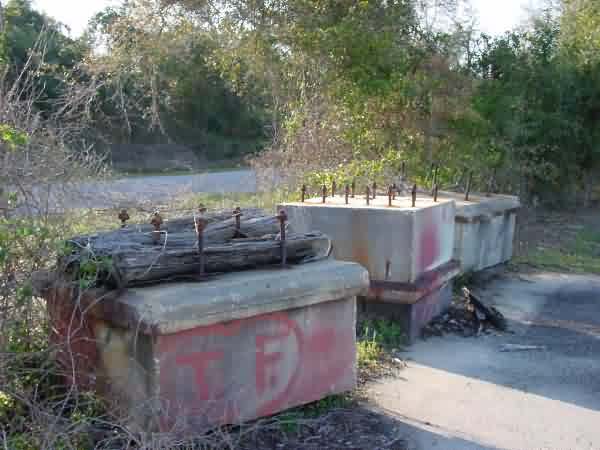
Foundation blocks pulled out of the ground. They were lined up here to block what I guess had been the western gate on the property. The only way to drive into the station is the original main entrance, but anyone can walk in through gaps in the outer perimeter fence.
Front of the club building. Time, vandals, and neglect have all done their worst.
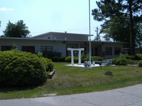
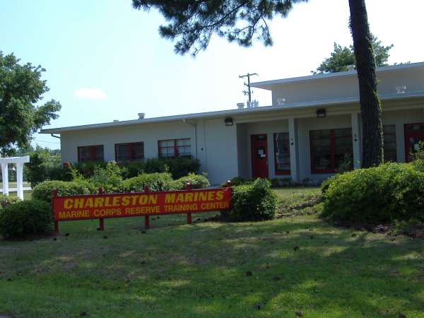
Heightened security posture at the Marine Corps Reserve Center on the eastern side of the station property.
The patio on the back of the club buiding. The barbeque grills are still in fine shape.
The Club stage.
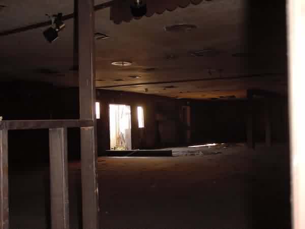
The interior of the dance floor opposite the stage, shot through a broken window.
April 1999 photos & notes by Gene McManus
Thanks to Dick Lowe & Brian Coy for assistance in interpreting & captions
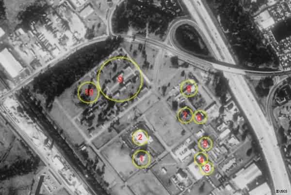
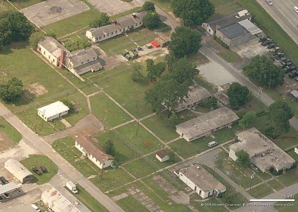
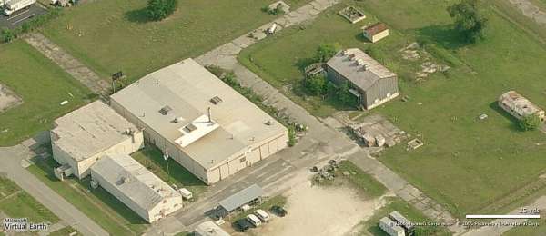
The numbers on this satellite photo relate to photos below.
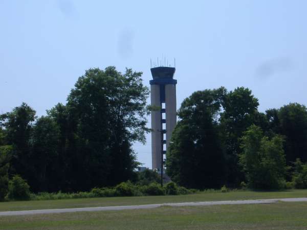
| AN/FPS-27 tower is the only radar tower still standing. This view is approximately to the west, with the Charleston IAP tower in the background. [Map 1] |
 |
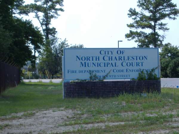
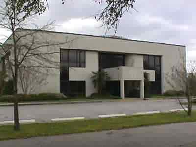
| This building is obviously much newer than many of the older structures on the station. It was unoccupied at the time of our visit, except for a computer class setting up in one of the rooms. It`s in quite good condition. You could see the outline of an emblem on the portico, but it was not possible to tell just what it was. A nearby sign stated "N. Charleston City Hall Annex". [Map 2] |
 |
| This is the old Operations building. [Map 3] |
 |
| This building is approximately northeast of the Ops building (above), and is reported to be a part of the operations building. It was occupied by Stevens Moving Van Lines. [Map 4] |
 |
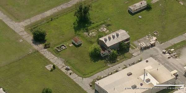
| The CE building was in surprisingly good shape, and looks like it might have been in use until recently. [Map 5] |
 |
| The steam lines running to the right from the heating plant were cut just outside the frame of the photo. The lines running to the old Orderly room, BX and club building, to the left, were falling down, several of the clamps holding them up having rusted through and broken. [Map 6] |
 |
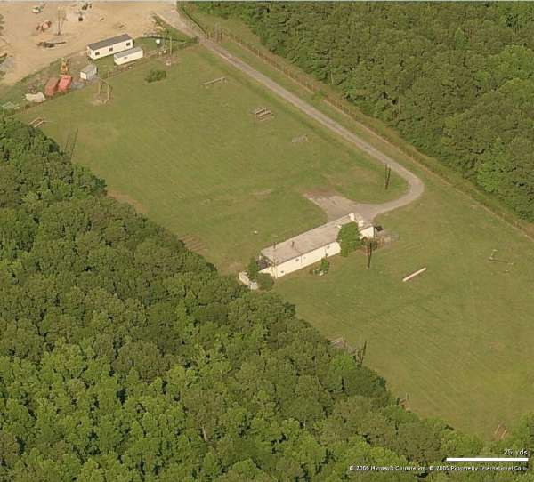
| It will be a long(!) time before you`ll be able to jump into the pool. It was filled with sand, and you could see that the sidewalls had broken in many places. [Map 7] |
|
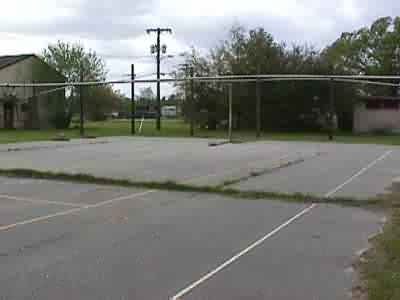
| The Orderly Room/BX/O Club/NCO Club building was placarded as an asbeston hazard area. The patio behind the building was in good shape. We`d like to have the BBQ pit at home. The basketball court, behind the building, could be used with the addition of backboards, baskets & the application of a little grass killer. [Map 8] |
|
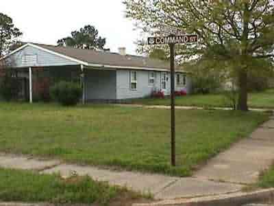
| The housing area was all in quite good condition, and apparently was in recent use as NCO housing. A number of the houses still had the NCO`s name over the carport. The electric meters were removed from all the houses. One of the intersections in the housing area was "Radar Ave." and "Defense St.". If I had had the proper tool while there, we would have liberated a couple of street signs for the museum. [Map 9] |
 |
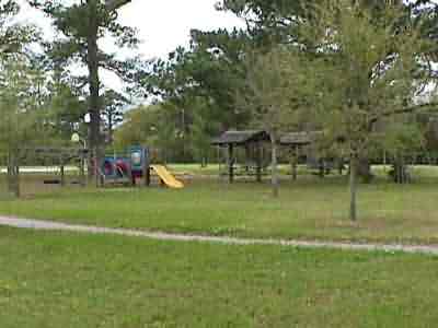
| This playground at the west side of the housing area looks like new. There was also a basketball court with backboards, and baskets which was also in good, playable condition. [Map 10] |
 |