Recent Photos of New Orleans, LA GFA
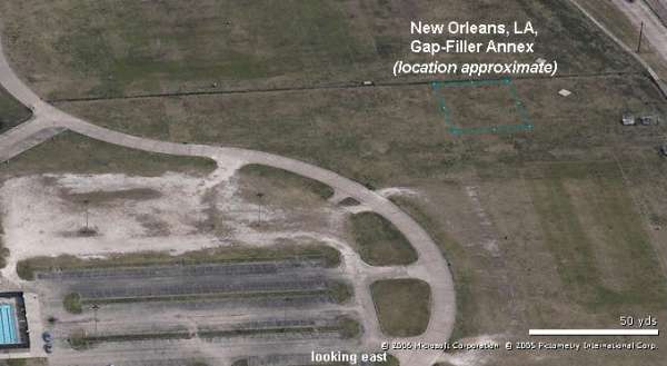
East
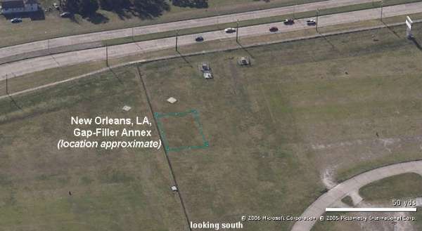
South
East
South
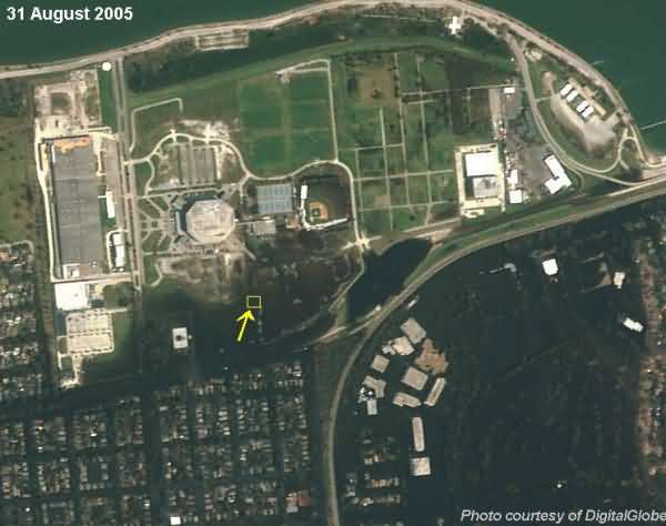
The New Orleans Gap-Filler Radar Annex (site Z-126A) was demolished years ago. However, if the facility had still been extant, it probably would not have escaped storm damage. This aerial photo -- taken on 31 August 2005 in Hurricane Katrina`s aftermath -- shows that the former radar site (outlined in yellow) would have been almost completely surrounded by the immense flood waters resulting from the levee breaks. Photo courtesy of DigitalGlobe.
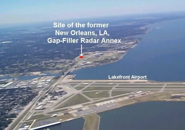
Although the New Orleans gap-filler radar facility itself is no longer extant, this aerial photo shows where the annex used to be.
Photo source:
http://www.capnhq.gov/airfield/ViewAirport.asp?view=Thumb&state=LA&code=NEW&filetype=_