Recent Photos of Naselle AFS, WA

------------------------------------------------------------------------------------------------------------------------------------------------------------------- 

The following eight photos were taken by Tom Page on 11 September 2016: 

NaselleAFSWA_Gate-Shack_TEP_2016.jpg

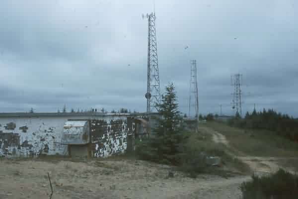
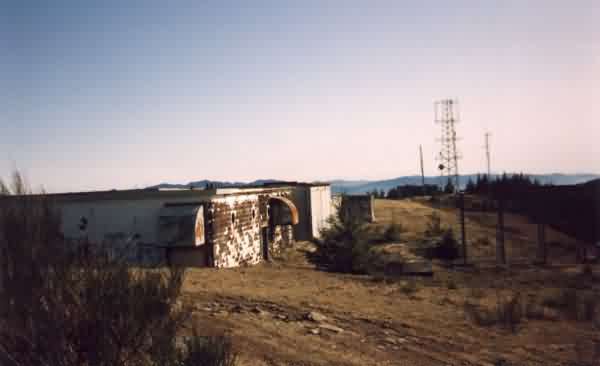
Foundations for the former SP gate shack at the top of Radar Hill (looking north) 

..........

NaselleAFSWA_Radio-TX-GATR1_TEP_2016.jpg

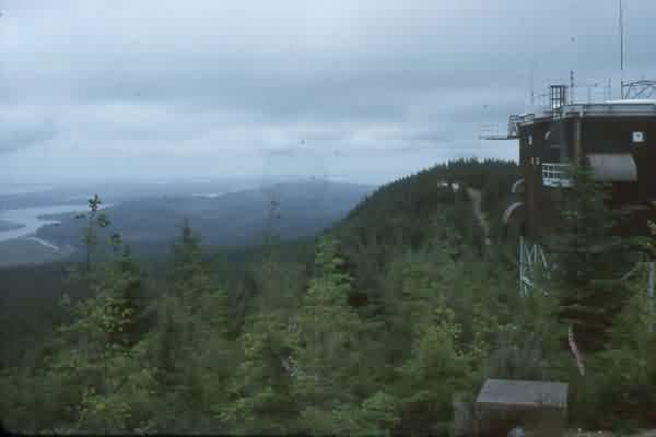
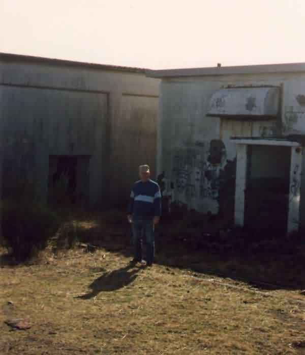
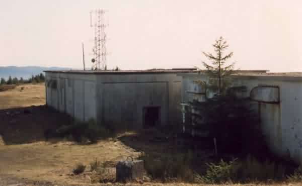
Former Radio Transmitter / GATR building at south end of the operations site (looking west) 

.......... 
NaselleAFSWA_Radio-TX-GATR2_TEP_2016.jpg

Former Radio Transmitter / GATR building at south end of the operations site (looking south) 
.......... 
NaselleAFSWA_Operations-area_TEP_2016.jpg
Foundations for the former Power Plant [foreground] and Radar Operations building [center] (looking south) 
.......... 
NaselleAFSWA_Search-Radar-steps_TEP_2016.jpg
Steps to the former AN/FPS-67 search radar tower (looking southwest) 
..........
NaselleAFSWA_FPS-26-tower-S_TEP_2016.jpg
The south side of the former AN/FPS-26 height-finder radar tower (looking north) 
..........
NaselleAFSWA_FPS-26-tower-N_TEP_2016.jpg
The north side of the former AN/FPS-26 height-finder radar tower (looking south) 
..........
NaselleAFSWA_Radio-RX-site_TEP_2016.jpg
The site of the former Radio Receiver building (looking west) 
.......... 

------------------------------------------------------------------------------------------------------------------------------------------------------------------- 


Source: http://www.flickr.com/photos/42096725@N00/2702146290/

date: 5 May 2008

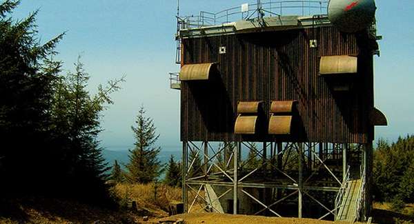
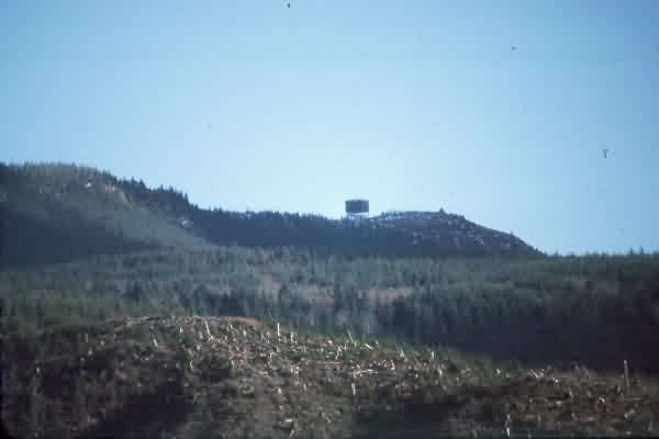
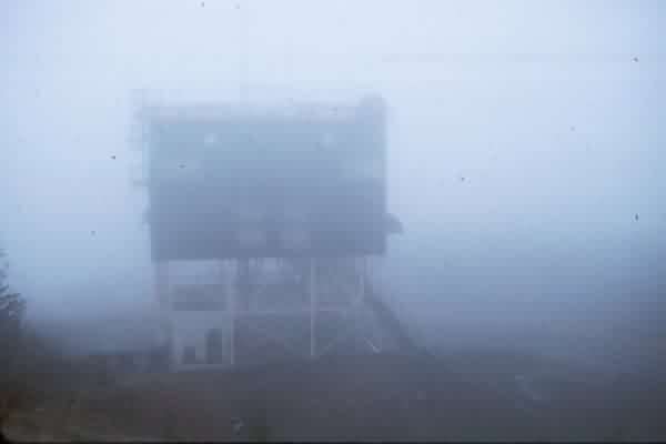
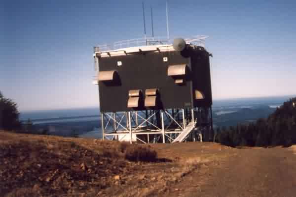
Former AN/FPS-26 height-finder radar tower.

C Copyright -- All Rights Reserved -- Displayed Here for Historical, Non-Commercial Use Only.

............................................................................................................................................................................................................... 


NaselleAFSWA_Recent_Cantonment-Housing_aerial.jpg

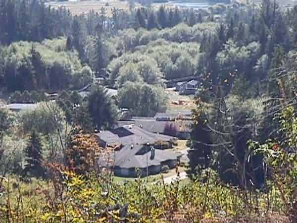
Aerial view of the former cantonment area (left) and the family-housing area (right), looking east 

source:  https://www.dshs.wa.gov/sites/default/files/FSA/capital/Aerial/Naselle.jpg 


NaselleAFSWA_Housing_Recent_Aerial.jpg

Close-up of the family-housing area (from above) 


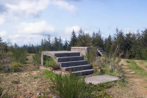
Photo source: http://www.geocaching.com/seek/cache_details.aspx?ID=12116


Cantonment area, Source: http://www.wa.gov/dshs/jra/Images/NaselleYouthCamp.jpg


July, 1996 & March, 1988 photos contributed by Mark Morgan


March, 1988


1992 photos below contributed by Gordon Dick


All that`s left of height finder tower


FPS-26 tower


Looking West


Contributor with back door to Ops on the right


Ops building with heating plant on right

Operations building