751st Radar Sqdn., Mount Laguna AFS, CA
-----------------------------------------------------------------------------------------------------------------------------------------------------------------------

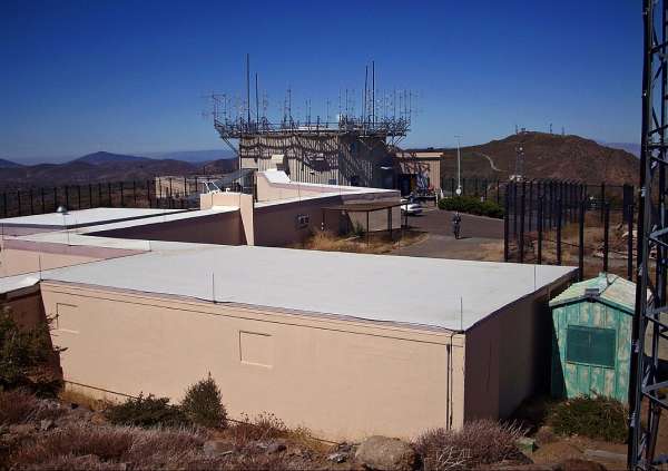
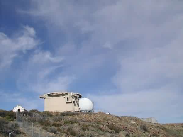
photo source: https://en.wikipedia.org/wiki/File:MtLagunaFAAStationByPhilKonstantin.jpg

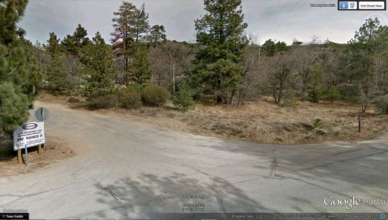
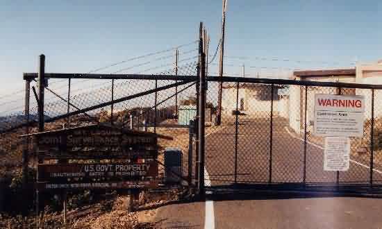
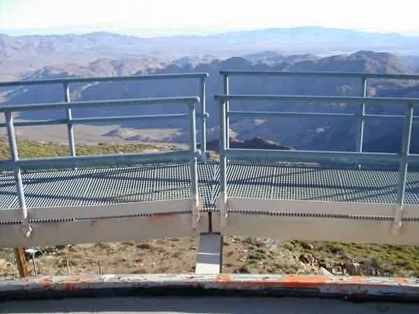
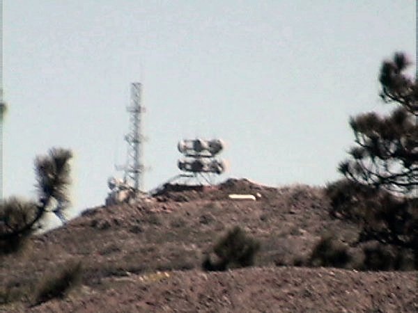
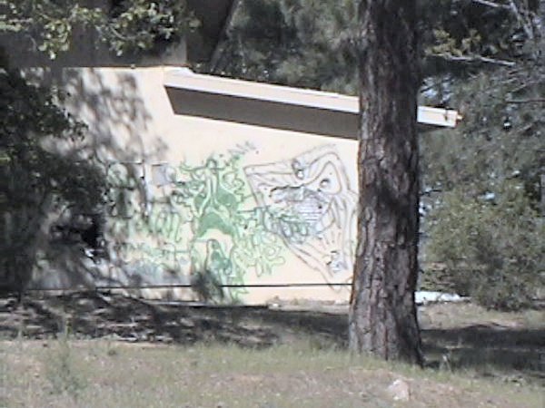
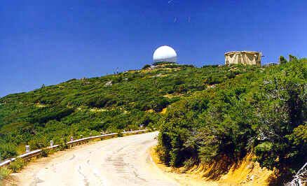
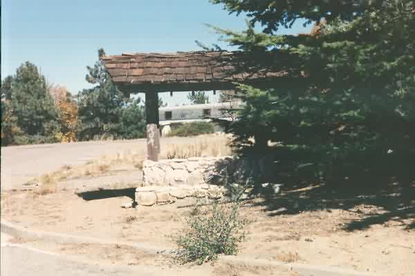
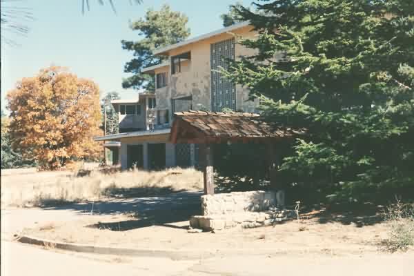
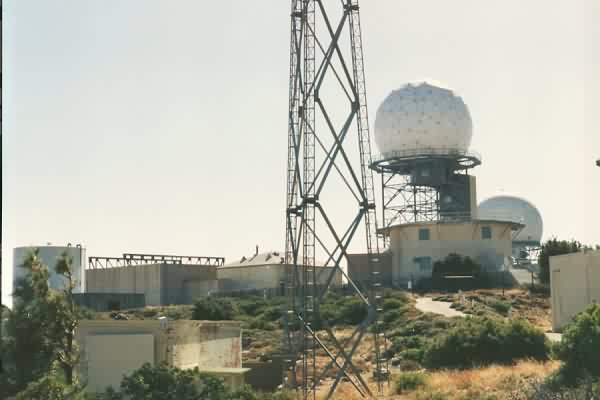
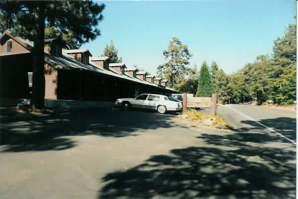
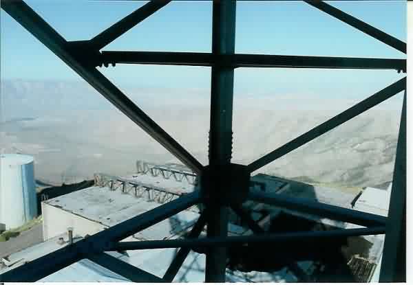
This view is looking roughly southeast from the north access road to the site (i.e., the road that leads first to the family-housing area). The ARSR-4 radome is seen in the upper right. The abatement-project sign is seen in the lower left. The south access road (i.e., the road that leads first to the radar / operations area) has a similar sign.
Site demolition video (23 February 2011): https://www.youtube.com/watch?v=fuqfndT26ck
----------------------------------------------------------------------------------------------------------------------------------------------------------------------
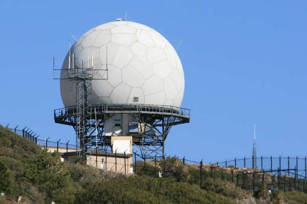
Source: http://flickr.com/photos/18548283@N00/2798550567
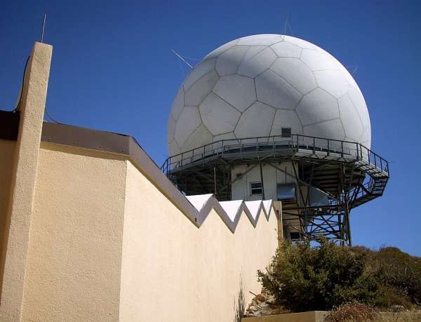
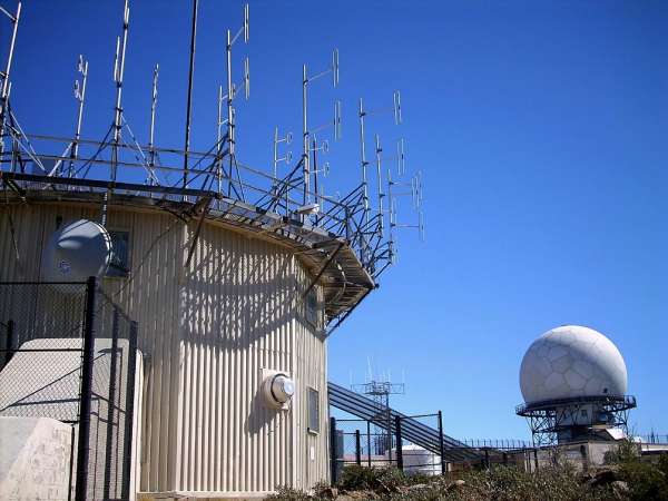
The following three 2008 photos from Bruce Robie`s personal website,
http://albums.phanfare.com/5122194/2261723_2444803#imageID=50774415, used with permission.
Source: http://www.imagestation.com/album/pictures.html?id=4290281811
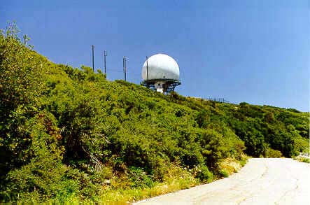
ARSR-4
Photo source: http://gallery.photo.net/photo/4912243-md.jpg
April 2004 photos contributed by Tom Page
This is the old AN/FPS-26 height-finder radar / AN/FSS-7 SLBM radar tower. Not visible in this photo is the fact that much of the exterior paint has now been etched away by wind-driven sand. [looking south]
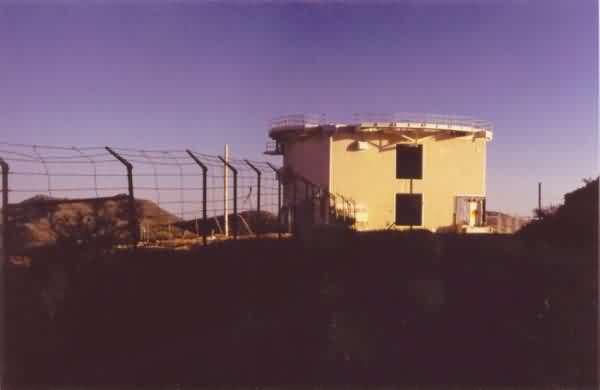
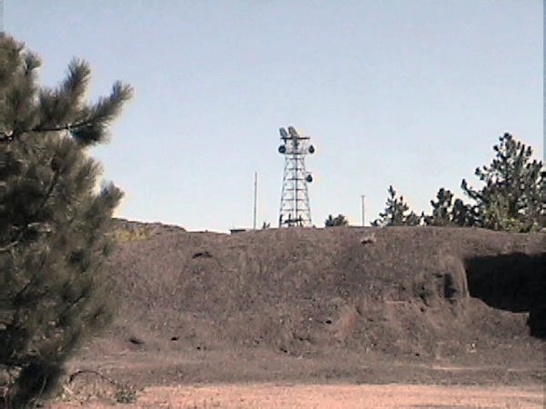
This is another old radar tower, perhaps one that housed one of the AN/FPS-6 height-finder radars. It is now used to support a variety of communication antennas. [looking west]
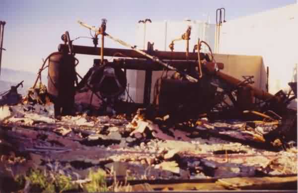
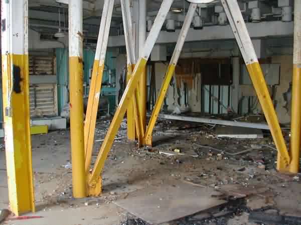
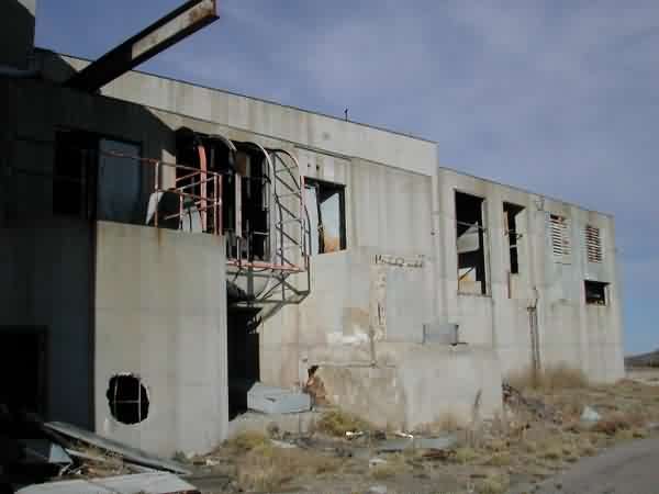
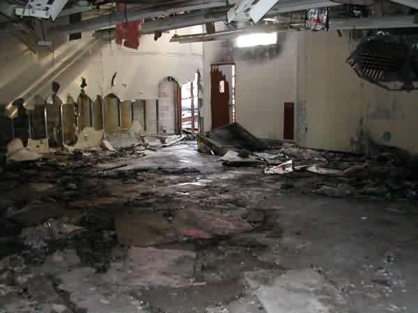
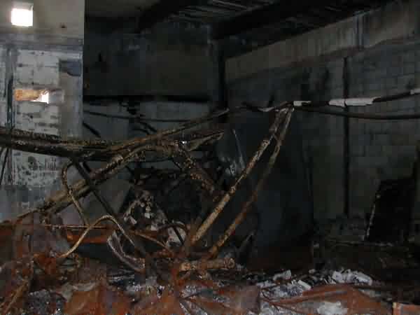
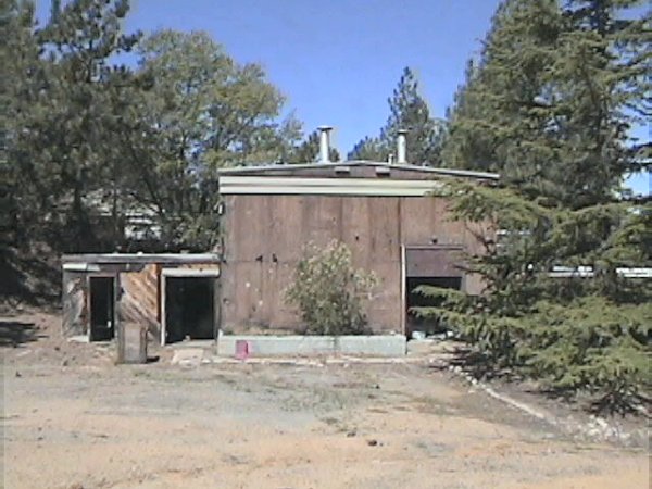
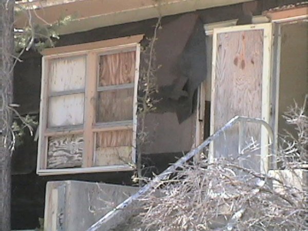
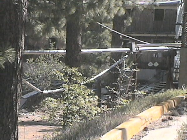
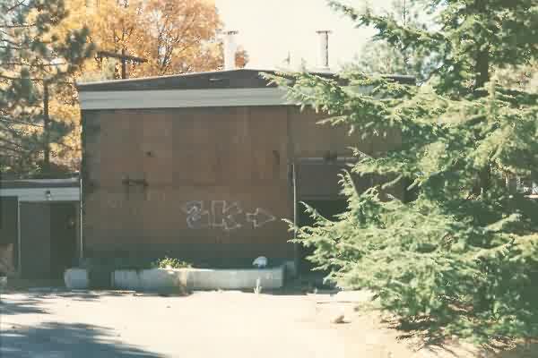
This is all that remains of a building that appears to have been the Steam Plant, immediately west of the LRR Operations / BUIC-III building. It appears to have burned down fairly recently. [looking north]
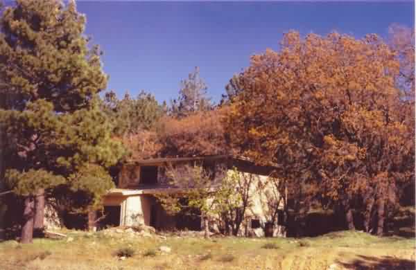
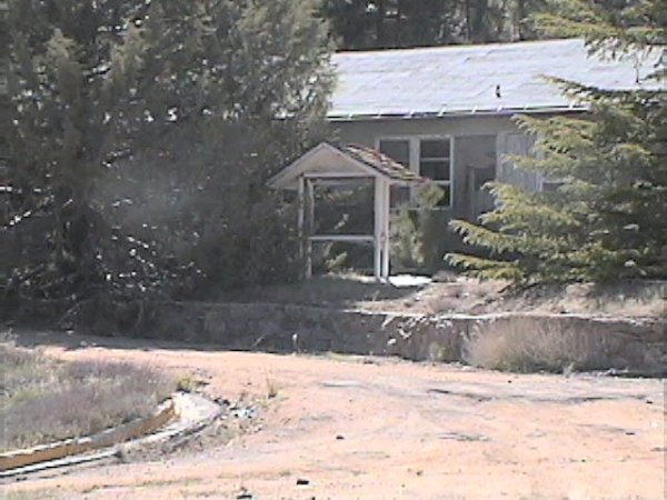
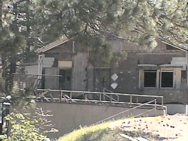
This photo shows the sole remaining family-housing unit and a tree that appears to have been singed by last year`s wild fires. [looking southwest]
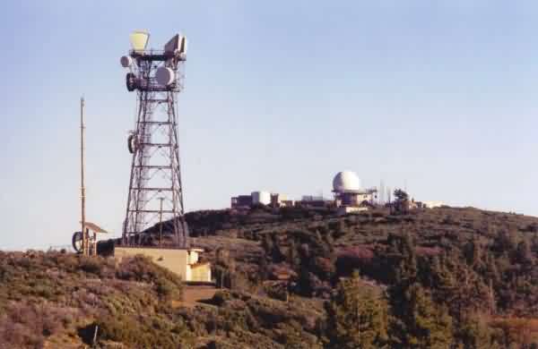
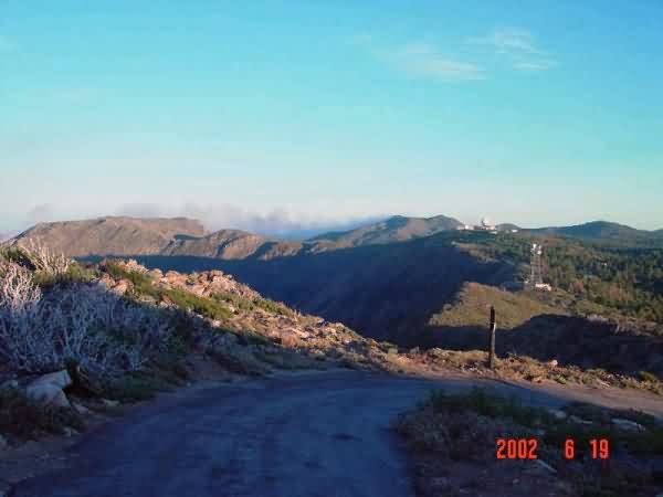
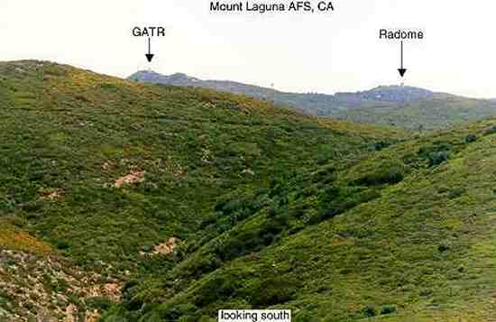
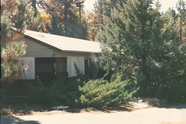
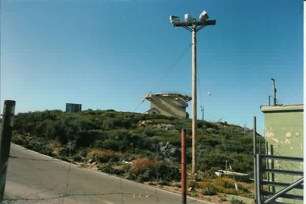
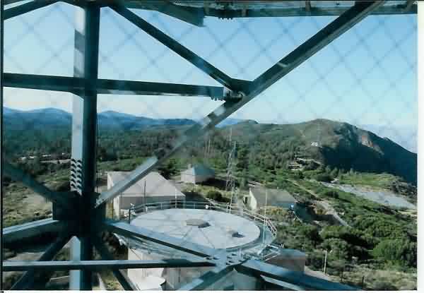
This view shows the main site as seen from the road that led to the GATR site to the north. (The GATR facility is no longer extant.) [looking south]
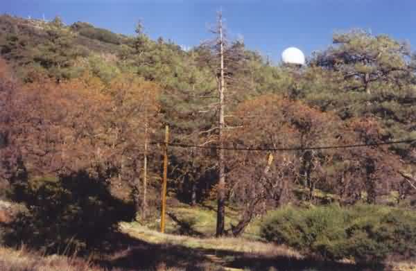
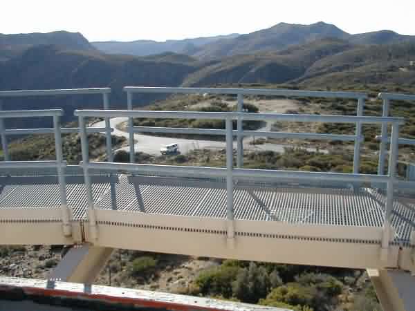
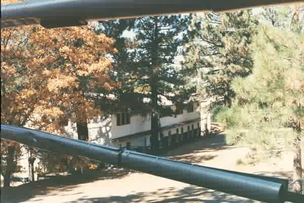
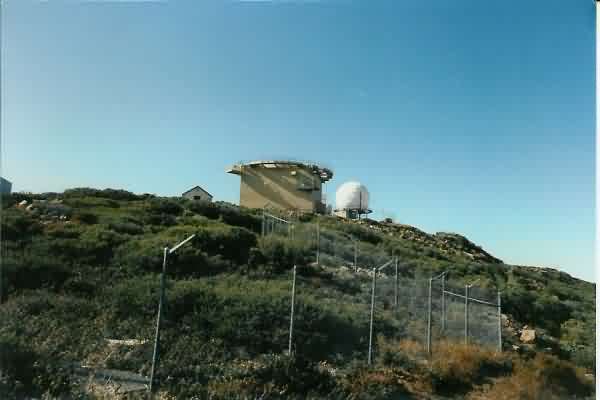
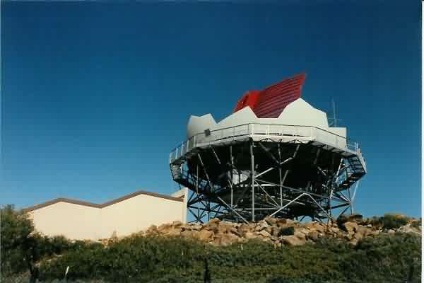
This final photo shows the ARSR-4 radome as seen from the point where the Pacific Crest National Scenic Trail crosses the radar site`s north access road below the housing area. [looking south-southeast]
Contributed by Hesh One
 >
>
From the web site http://www.ecra.org/mount_laguna_fire.htm
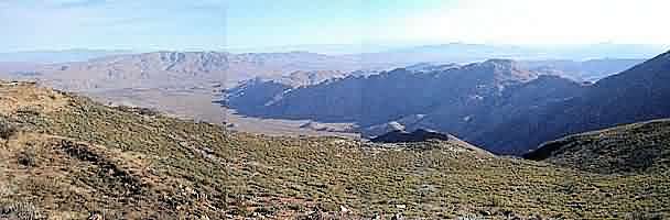
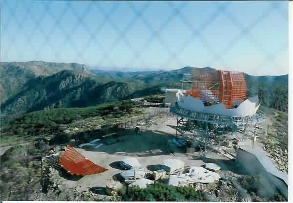
Taken from approx. the location of the old GATR. Note smoke from forest fire in background.
May, 2002 photos by Chuck Comstock
Chuck writes:
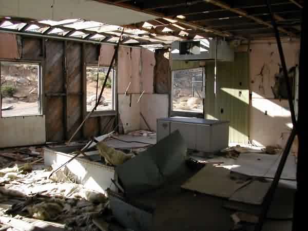
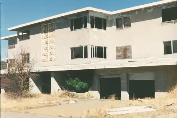
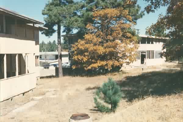
The site is still used by the FAA, but the Cantonment area is in shambles. It has been ransacked by locals and visitors. Very poor condition. The site is about a quarter of a mile East from the Lodge. The site is in a National Park. I believe the FM antennas are for the State relay system.
Mount for a storage tank.
Generator building.
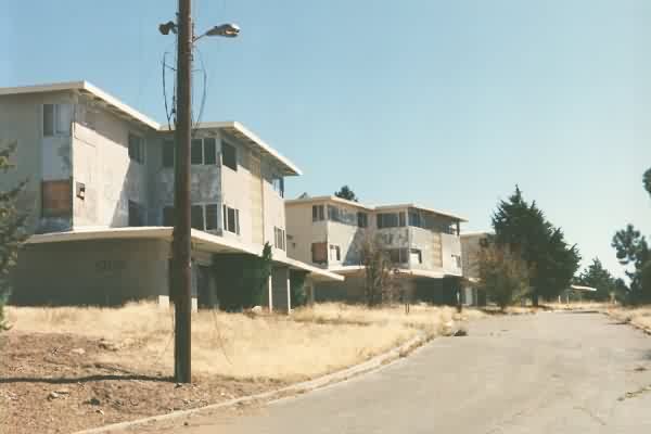
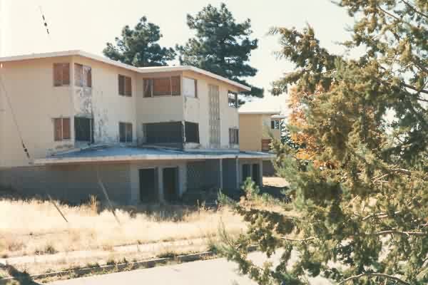
Base Housing.
One of the base housing buildings, close up.
Dining Hall.
Mail Room.
Trees which have been planted on the site.
Some miscellaneous pipes.
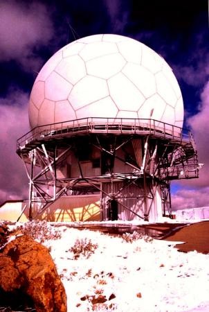
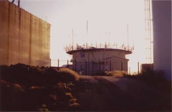
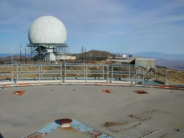
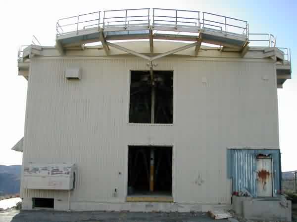
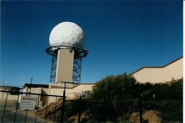
The FAA radome.
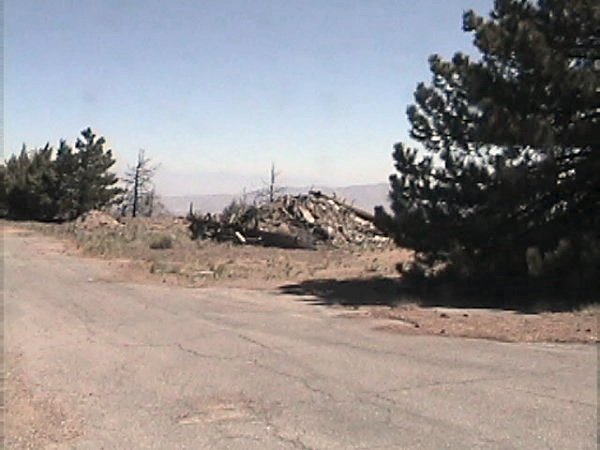
Rubble pile.
Photos taken July 1998
Photos below c. 10/1994 contributed by Al Grobmeier
Bold numbers refer to points indicated on the Mt. Laguna site map where photos were taken.
1 Entrance to cantonment area.
2 Married Enlisted Quarters buildings.
3 Married Enlisted Quarters.
4 Entrance to cantonment area. Married Officer Quarters buildings in background.
5 Married Enlisted Quarters.
6 Rear of MEQ.
7 Officer`s Quarters.
8 Commanding Officer`s Quarters.
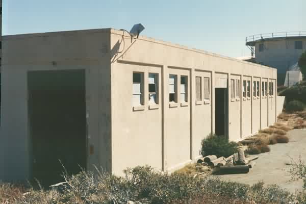
9 Hq. Admin building.
10 Boiler room #1 - 2 boilers.
11 Barracks Delta - from dining hall.
12 Barracks Bravo - from dining hall.
FAA radars & FAA radar tower. Ops building to left.
Building 202 next to SAGE building.
Building 203, entrance to underground fallout shelter. FAA radome in background.
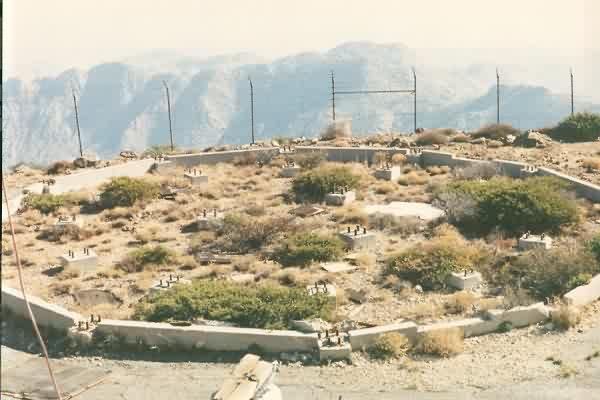
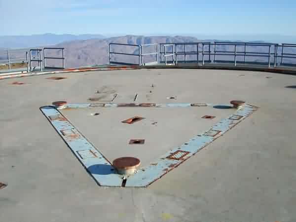
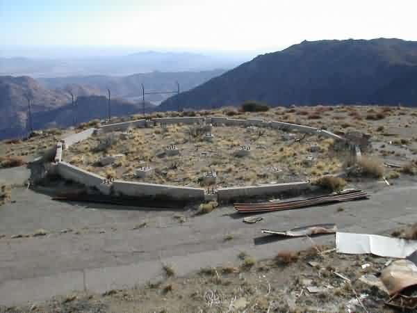
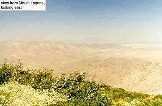
Radar tower foundation from Ops building. Overlooks desert below, to the east.
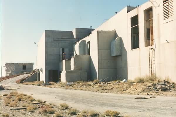
Building 201 - Operation & SAGE building back side, facing south & towards radar tower.
Building 221 - power plant - six generators, removed. Radar tower in background.
Mid-1990s photos below contributed by Alan Raphael
Alan writes:
I was stationed at this site right out of Keesler AFB Radar School in September (?) 1965. Dropped off at that old gas station on Hwy 80 and Sunrise Hwy. I had to make a call from the pay telephone booth just before the station closed up for the night. The Sergeant on duty at the time, 10:00 PM, can`t remember his name, was making his rounds on base so I had to wait for him to complete his rounds before he could drive down to pick me up in that old Chevy pickup truck. Checked in to HQ and got a room in the Alpha Barracks on the first floor by 02:00 the next morning. Welcome to the Hill.
Alan Raphael, SGT. 30372
751st Radar Sq. 1965-1967
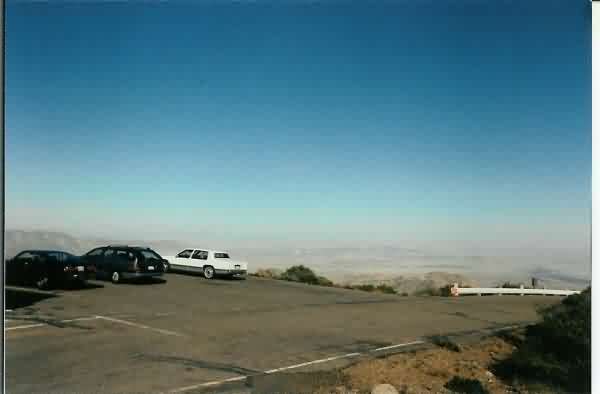
Topside gatehouse parking lot looking east northeast over desert toward the Salton Sea
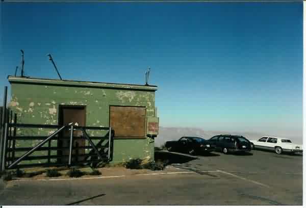
Topside gatehouse looking north
Looking north from parking lot on Sunrise Hwy of the Mt. Laguna General Store - Post Office - Lodge
Looking north at the old AN/FPS 26A later becoming the FSS-7 Tower from the gatehouse
Looking north from the road up from the gatehouse at the old AN/FPS 26A / FSS-7 and "old" ARSR-3 (was approximate location of the AN/FPS-7C
Looking north from the road behind the old FPS-7 tower at the "old" ARSR-3
Looking north-east from the old ARSR-3 over the old OPS building out over the desert in the direction of the northern part of the Salton Sea. Back in the day this view would have been blocked by the AN/FPS-90C radar tower. I think it was about 5 stories tall.
Looking north over an unknown to me tower base (wasn`t there during my time) in the direction of the Microwave towers and the contonement area to the left in the distance. I think one of the buildings was the backup diesel generator power plant. Not sure of the other buildings in this direction. I don`t think that the Motor pool or the chopper pad was as close as these structures(?)
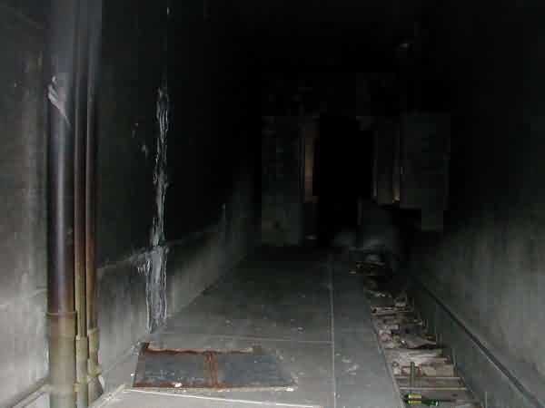
Looking south from the "old" ARSR to the new ARSR-4 with the 26/ FSS-7 tower in the background and the "tunnel" in the foreground. The tunnel ran from the 26 tower over to OPS through the FPS-7.
The new ARSR-4 with the new tunnel leading to it