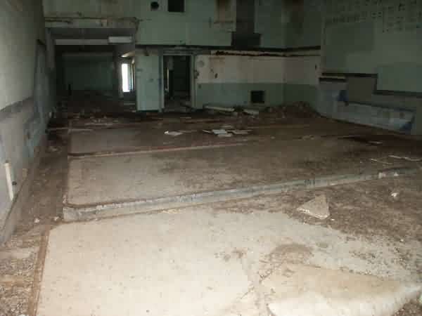
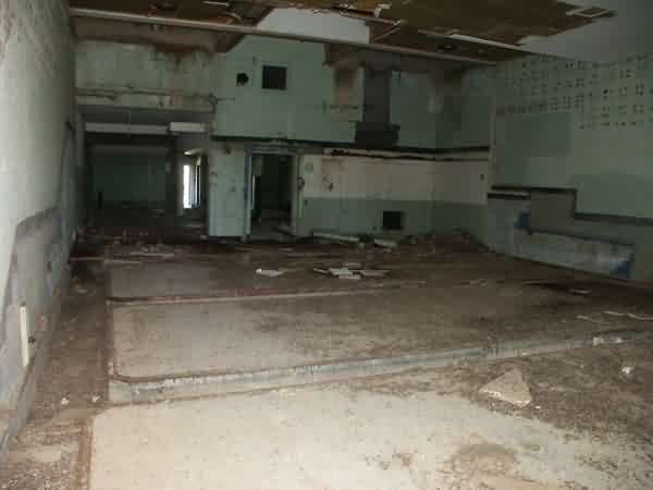
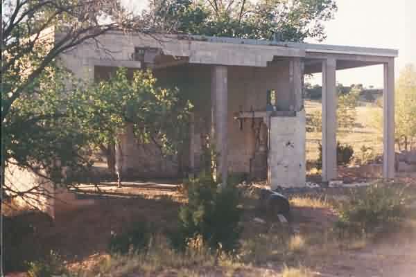
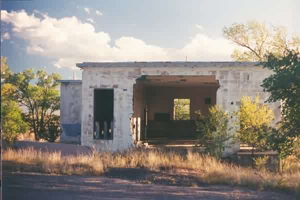
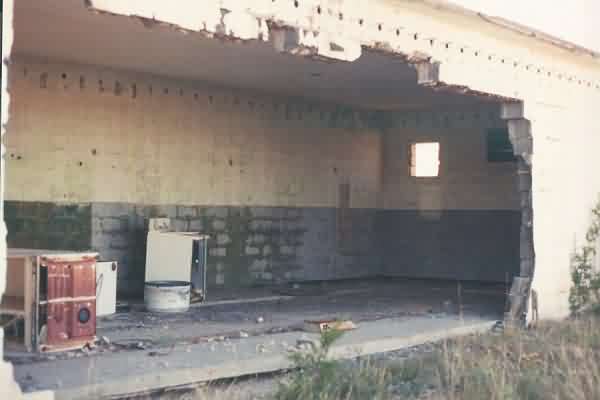
Interior photos are of the Ops Blockhouse
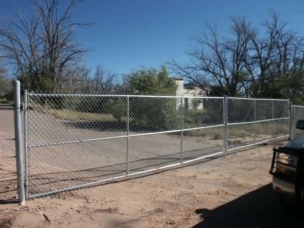
Coords: 35-01.83N/105-49.0W (fence, by ops blockhouse)
Arrival time: 1450MDT/2050 Zulu
Mileage: 77139 Trip Odometer: 215.2
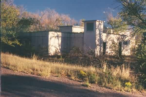
Status: Mostly intact. New chain-link fence blocking paved road leading right into site, but no Keep Out/NT signs or any signs indicating who owns the site, so I wandered around the property on foot for about 45 minutes. Seems to be used by county or state highway dept to store misc stuff – concrete barriers, old signs, etc. but no indications that they visit the grounds frequently. Many bldgs intact but stripped/trashed, only foundations of other buildings remain.
Departure Time: 1542MDT/2142Zulu
Interior photos are of the Ops Blockhouse
Recent undated photos contributed by Jim Peterson. Posted 17 Feb 04.
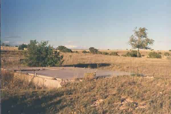
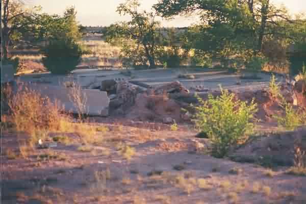
Mess hall floor.
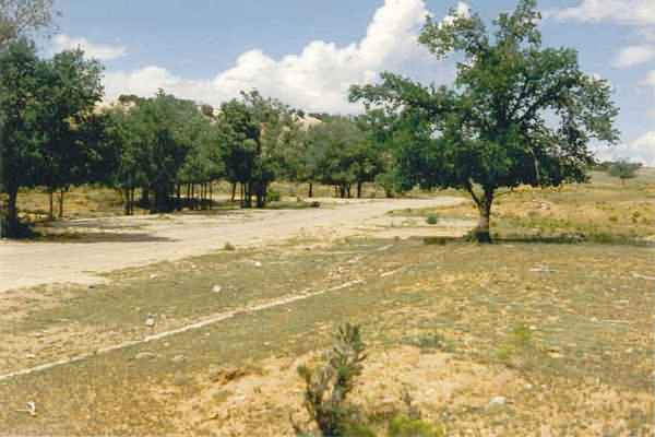
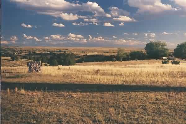
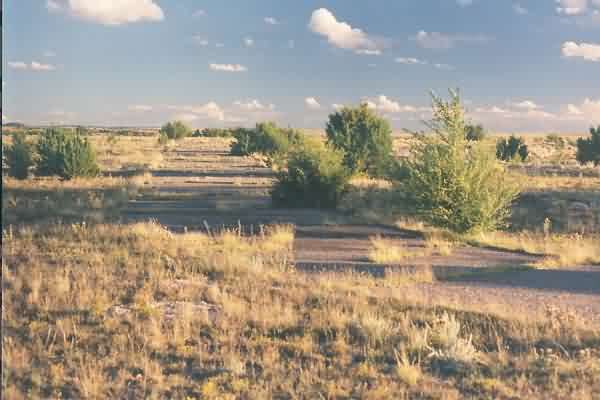
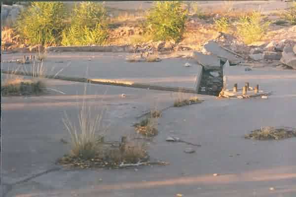
Site "Main" Street.
Site of Barracks #3.
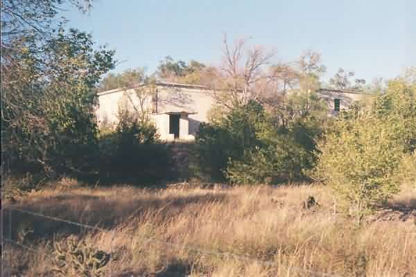
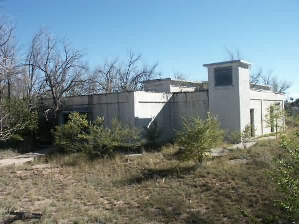
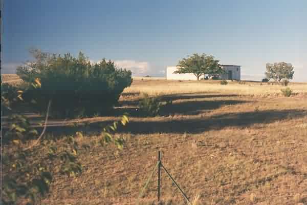
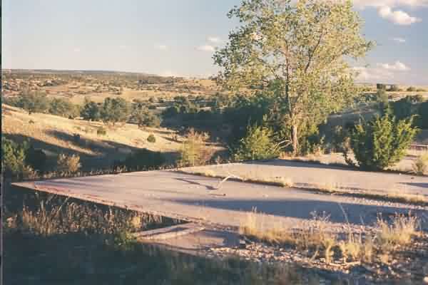
A close-up view of the LRR Operations building, as viewed from the
road that goes east from the main access road. In the site`s operational
days, the height-finder radar tower would have been seen in this view
behind the Ops building. [looking southeast]
Heating plant, located
across the road, northwest of the Ops building. [looking west-northwest]
The diesel-power plant. [looking south]
The radio transmitter building located at the north end of the site.
[looking north-northeast]
Interior of the radio transmitter buildingthough the east wall.
[looking northwest]
View from the radio transmitter building. [looking south-southeast]
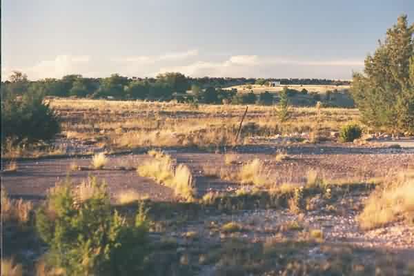
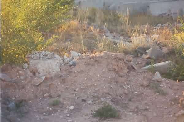
Unknown foundation on the east side of the station. [looking
northeast]
Building foundation on the east side of the station. [looking
southeast]
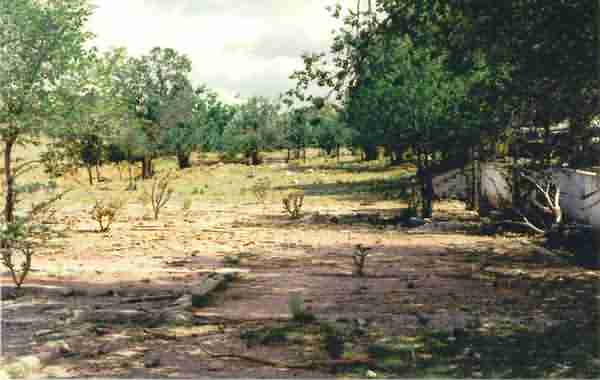
Family-housing area located to the south of, and adjacent to, the
main site. [looking south]
Another view of the family-housing area, looking back at the main
site. The radio (GATR) building can be seen in the distance. [looking
north]
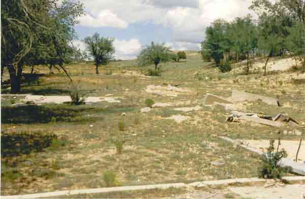
Foundations of the old AN/FPS-3 / AN/FPS-20 search radar tower,
located to the southeast of the diesel-power plant and east of the LRR Ops
building. [looking southwest]
Another view of the foundations of the old search radar tower.
[looking north]
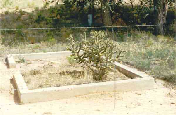
Foundations of an old temperate radar tower (possibly for the
AN/FPS-5?) just to the north of the search radar tower. [The AN/FPS-6
height-finder radar tower was on the west side of the search radar tower
and south of the diesel power plant; a cable trough led to the spot, but no
foundations were extant.] [looking northwest]