773rd Radar Sqdn.
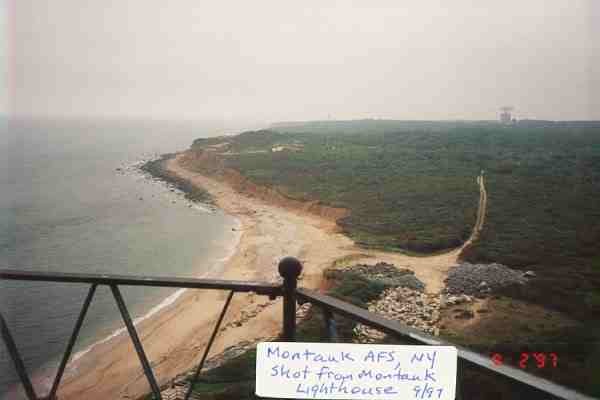
Montauk AFS, NY
-------------------------------------------------------------------------------------------------------------------------------------------------------
-------------------------------------------------------------------------------------------------------------------------------------------------------
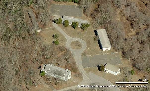
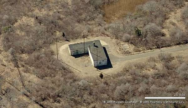
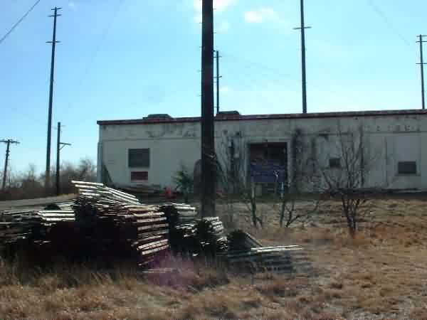
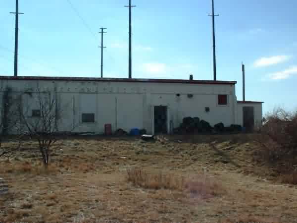
Cantonment - Looking North
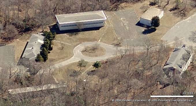
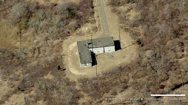
Cantonment - Looking East
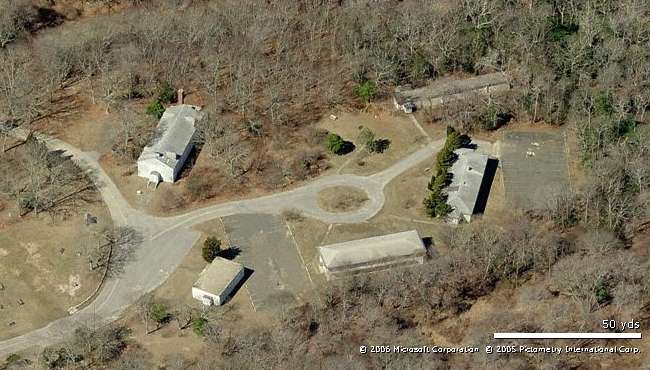
Cantonment - Looking West
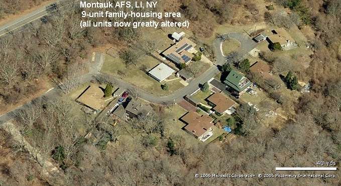
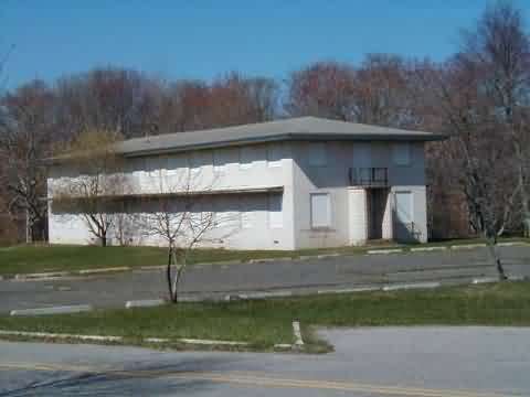
Housing - looking North
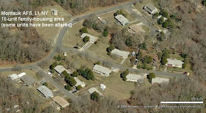
Housing - looking North
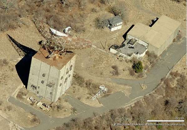
Radar site - looking North
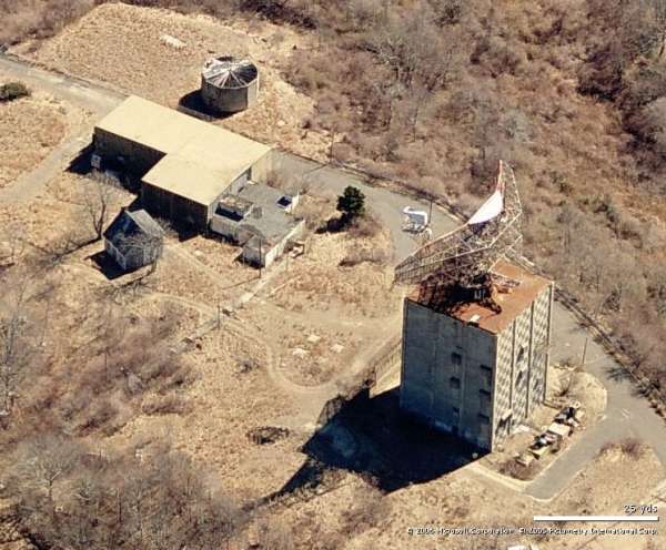
Radar site - looking East
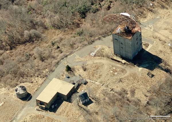
Radar site - looking South
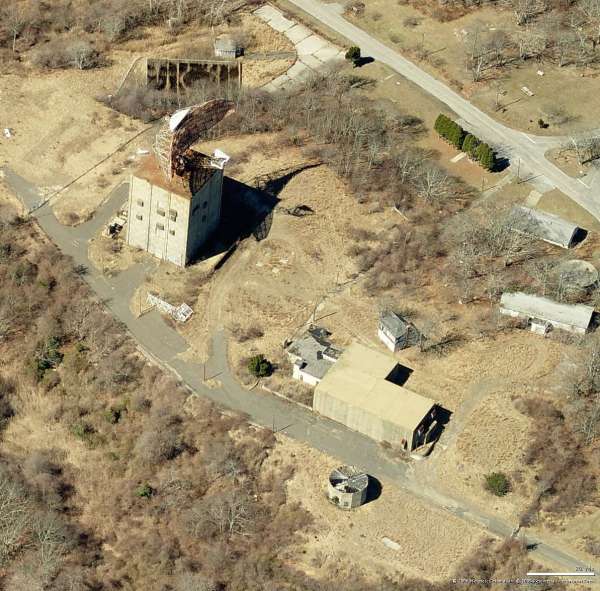
Radar site - looking West
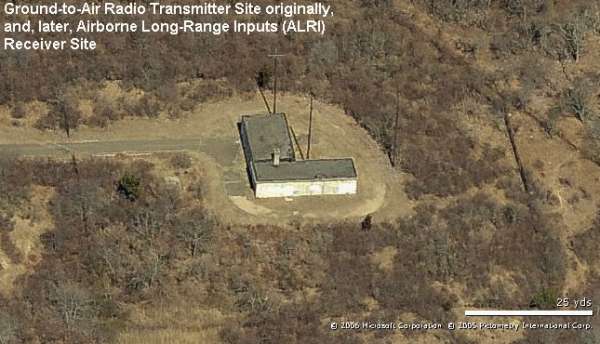
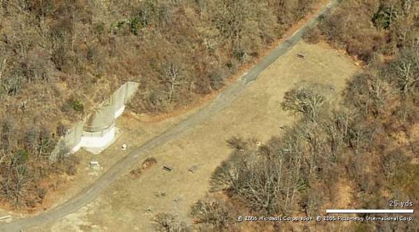
ALRI site - looking North
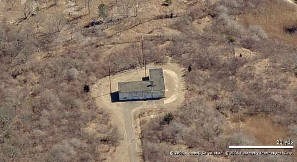
ALRI site - looking East
ALRI site - looking South
ALRI site - looking West
Tropo site - looking North
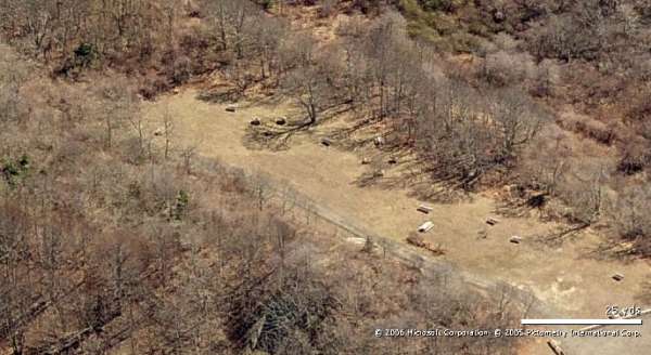
Tropo site - looking East
Tropo site - looking South
Tropo site - looking West
-----------------------------------------------------------------------------------------------------------------------------------------------------------------------
The following two photos were take on 7 June 2015 by Nestor Rivera, found on-line as shown. Both photos are © Copyright, All Rights Reserved.
They are displayed here only for historical / non-commercial purposes.

https://www.flickr.com/photos/nestorimages/20154879842/in/photostream/

https://www.flickr.com/photos/nestorimages/20136705826/in/photostream/
Source: http://www.flickr.com/photos/johnathaneric/3789751443/
source: http://www.lostintimeue.com/galleries/general/general.php
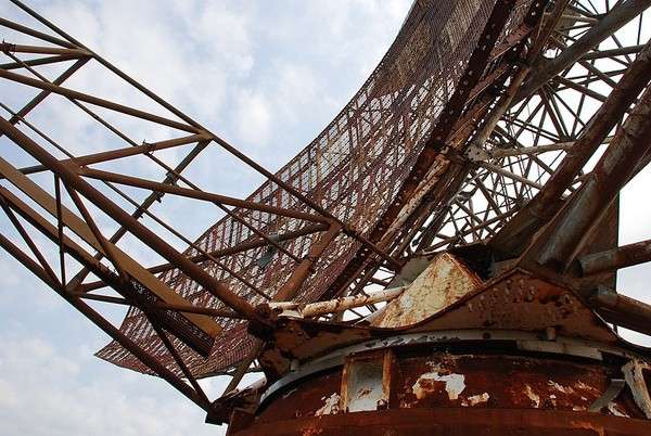
These undated recent photos show just how extensive and severe the corrosion has become on the old AN/FPS-35 radar sail! Photos uploaded 3/2009.
Source: http://www.pbase.com/bandito/image/74571790
April 2005 photos contributed by Joe Sargent
Ed. Note: From these photos, it appears that there has been quite a lot of cleanup work done since the earlier photos were taken.
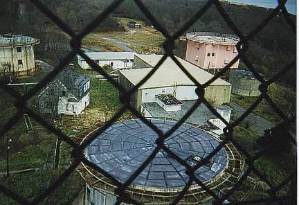
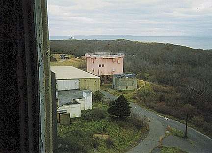
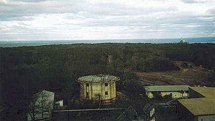
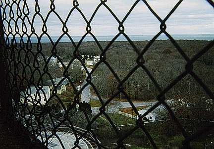
The first four photos below were made from the AN/FPS-35 tower, showing buildings and other radar towers, most of which have since been torn down. There are a couple of nice views of the LRR Operations / BUIC-II building. A few show the lighthouse in the far distance. The fifth picture was obviously made from atop the Ops building, and shows a close-up of the former AN/FPS-26 tower.
Source: http://www.hamptons.com/members/mproject/more.htm and http://wwwhamptons.com/members/mproject/pictures.htm
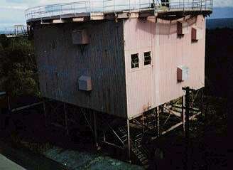
Montauk GATR Site - 2003
Contributed by Walter Wojciechowski
Walter writes: Access was from the Theodore Roosevelt Park Big Reed Pond. Round trip hiking distance was 2.75 miles which includes some additional walking around the actual park trails. A direct route to the site from the parking area would be less than 2 miles. This is a Suffolk County park and it appears that the GATR property is being used by them for storage. The doors on both buildings were padlocked and windows were boarded up so I have no way of knowing if any equipment remains inside.
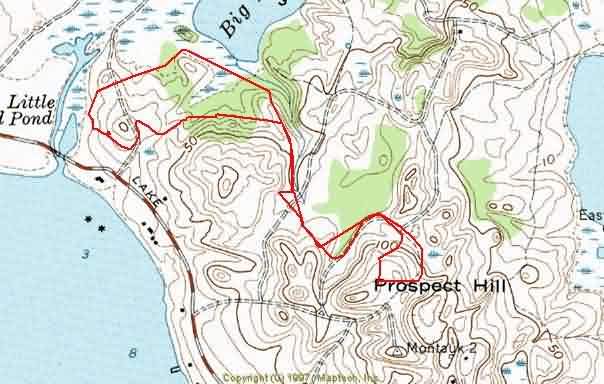
Walter`s path from a GPS track, overlaid on the map.
From the website
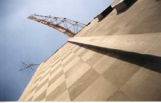
Photo contributed by Keith Loney
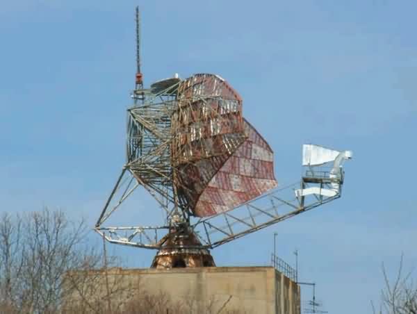
Photo Source: http://ca.ckwinfo.net/lis/hero/index.html
May 2001 photos contributed by Tom Marino
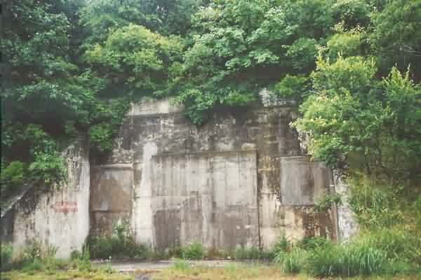
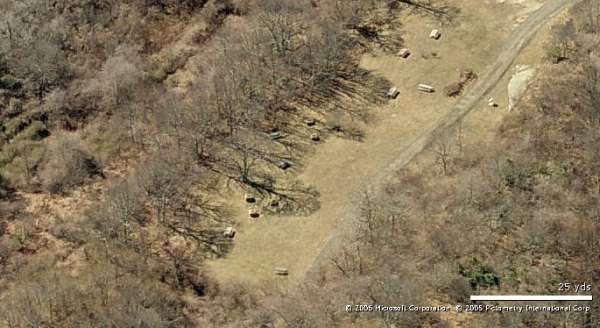
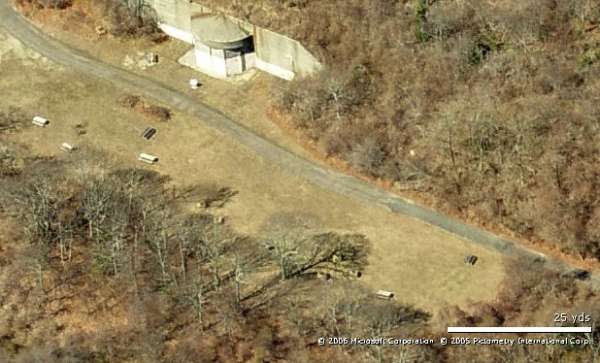
Underground Bunker; used for storage in 1958
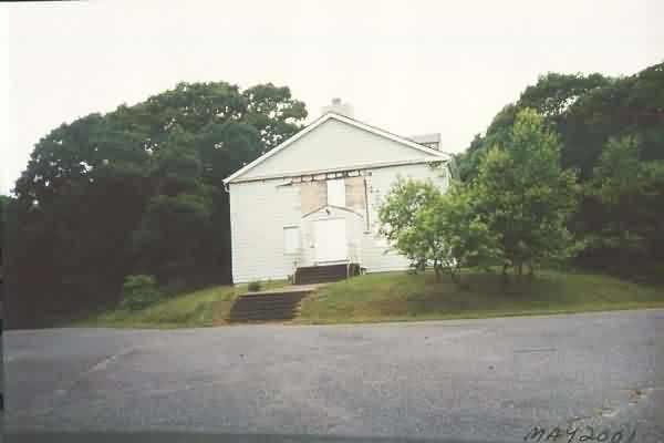
Assembly Hall
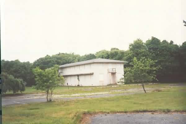
Barracks
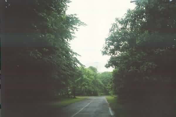
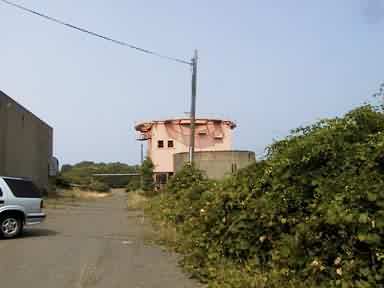
Overgrown road leading to ocean.
April 2001 photos and notes contributed by Tom Page from the "New" Tour, 2001
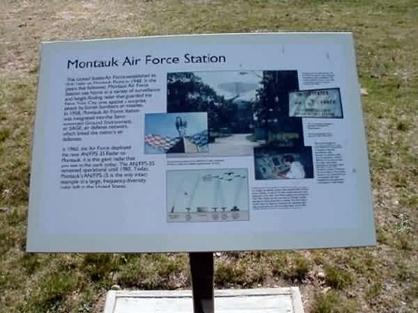
Located southeast of NY Rte 27 near the eastern tip of New York�s Long Island, adjacent to the former Camp Hero. Both Montauk AFS and Camp Hero are now part of Montauk State Park, though neither is presently open to the general public.
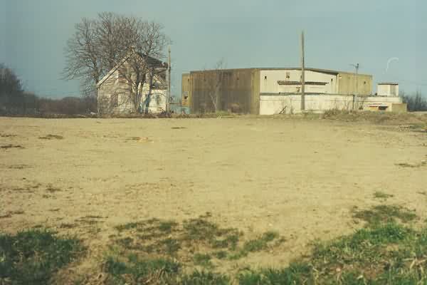
Site of the AN/FPS-6 height-finder radar tower, recently torn down. The LRR Operations / BUIC-II building is seen in the background. [Looking east]
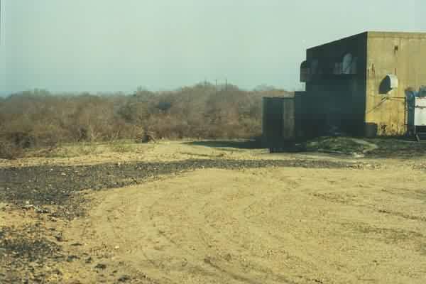
Looking south toward the site of the AN/FPS-26 height-finder radar tower, recently torn down. In the foreground is where the other AN/FPS-6 height-finder radar tower, also recently torn down, used to stand.
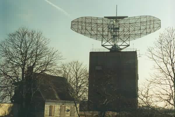
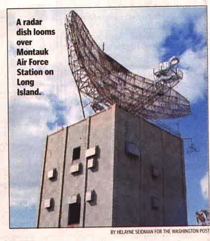
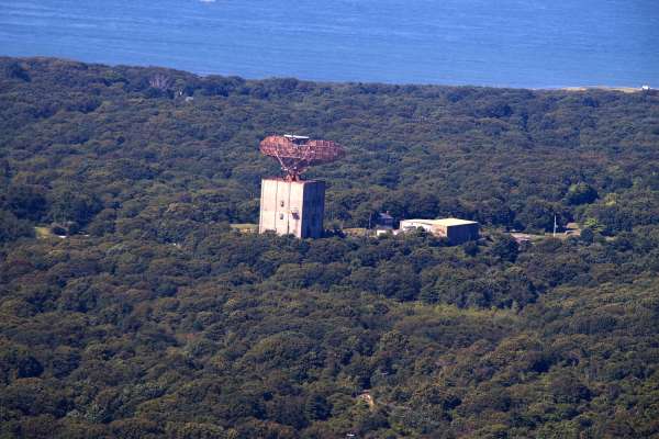
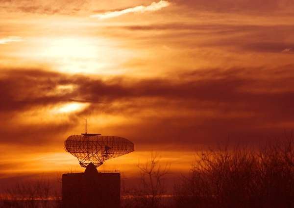
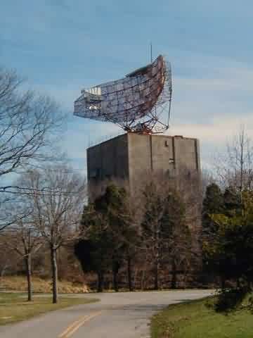
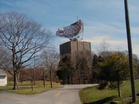
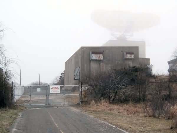
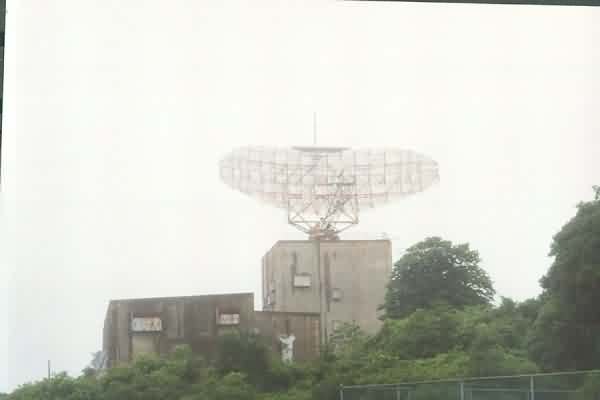
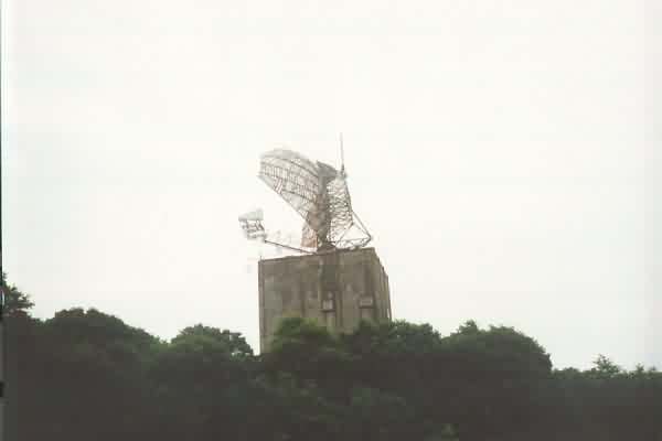
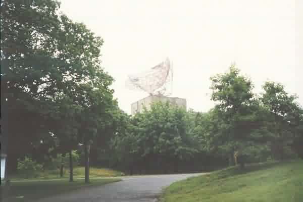
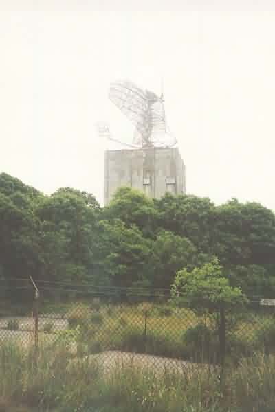
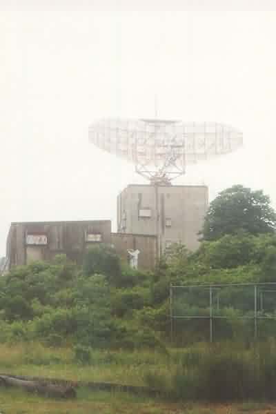
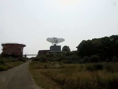
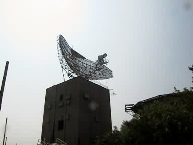
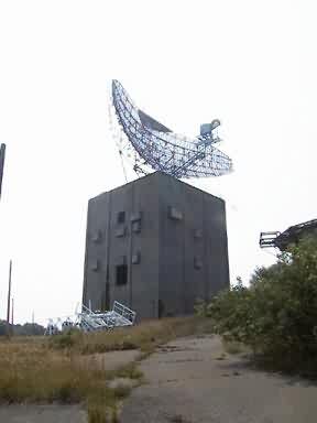
The old AN/FPS-35 search radar tower at Montauk AFS. This was the first production model after the prototype, and the final one in the Air Force inventory, decommissioned 31 January 1981. [Looking southwest]
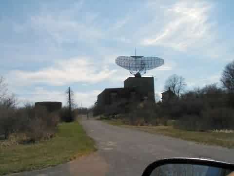
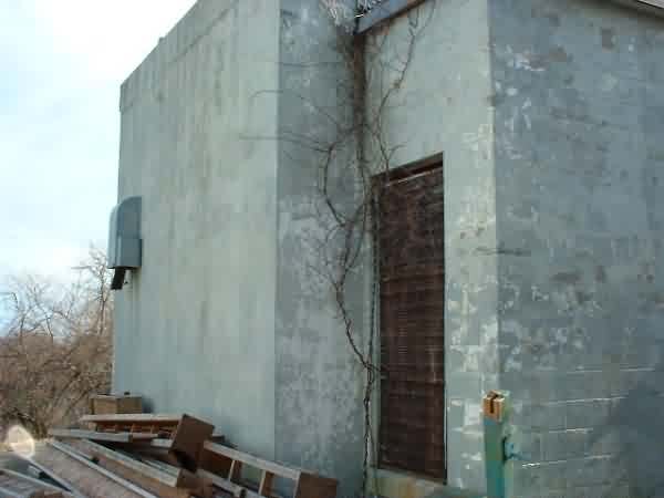
The west corner of the AN/FPS-35 search radar tower, viewed from where the diesel power plant used to stand. That building was recently torn down, also.
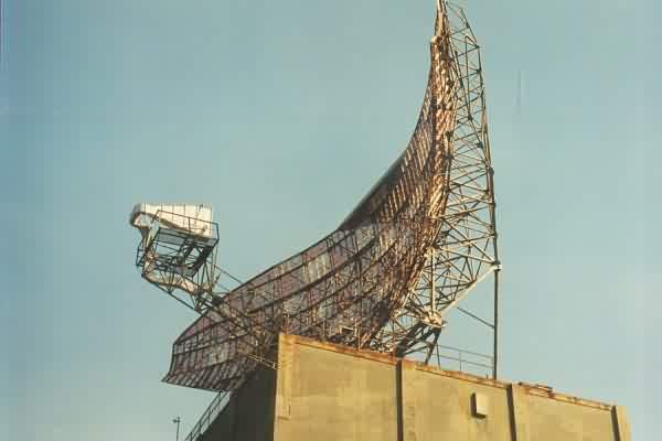
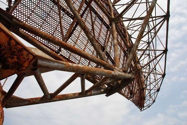
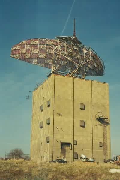
The AN/FPS-35 radar antenna assembly, as seen from the ground. Even from ground level, the rust on the sail and its supports was very noticeable.
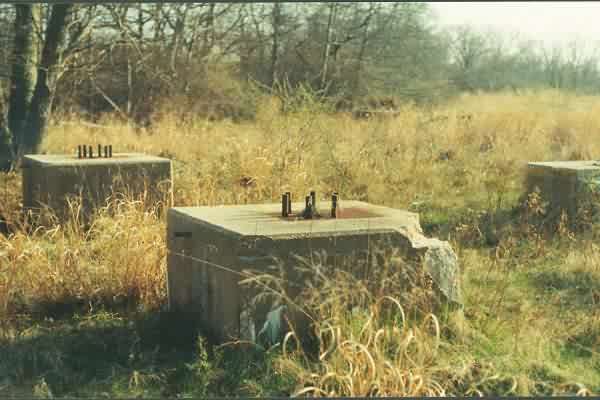
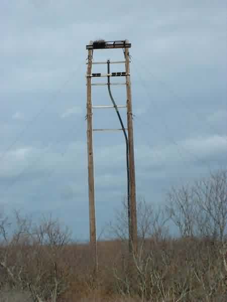
Footings for one of the troposcatter communication antennas supporting Texas Tower No. 3 (TT-3). The second set is seen further back in the tall grass. [Looking west-southwest]
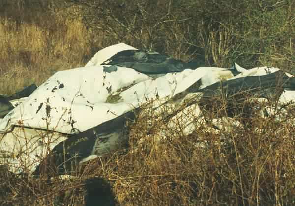
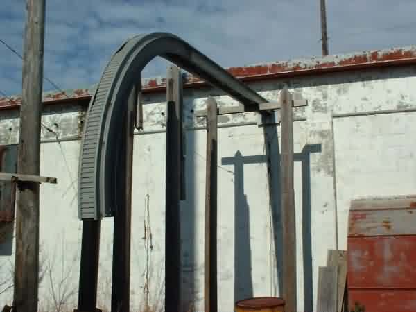
Old rubberized inflatable radome from the AN/FPS-26 tower, discarded when the radar was removed in 1981. The radome�s vent louver was observed on the other side. The discarded radome lies in the weeds not far to the east from where the AN/FPS-26 stood, on the southeast side of the road.
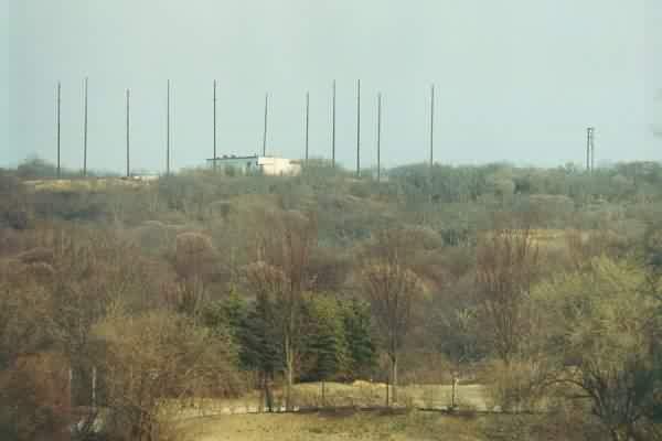
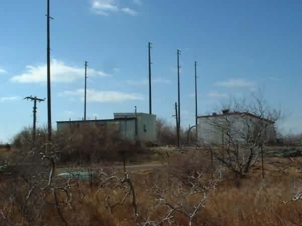
Viewed from the west-northwest side (photo was made using a 135-mm lens). The GATR site access road was not located; the road reportedly is privately owned now.
The following submitted by Dave Schoeck
1999 photos below submitted by Henry P. Mullaney
The following photo accompanied the article "Flight Into the Space-Time Continuum" which appeared in the Washington Post, November 6, 1999