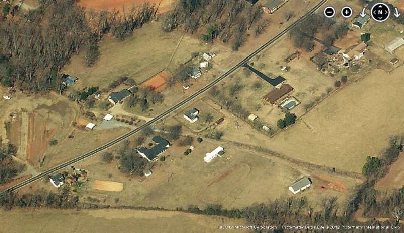
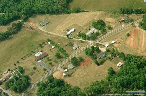
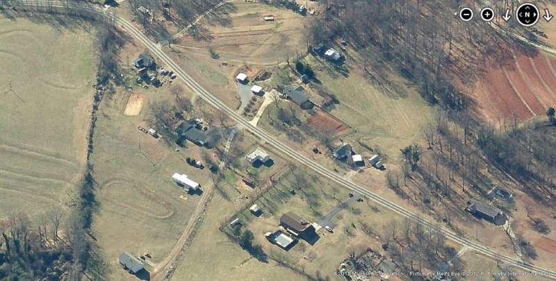
Melvin Hill, NC, Gap-Filler Radar Annex (P-42C)
2012 image looking North
Looking North
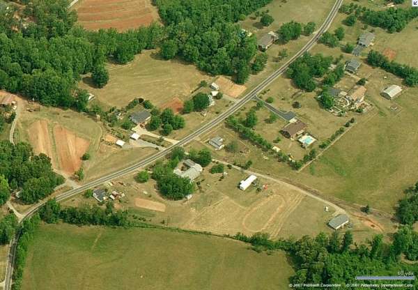
2012 image looking East
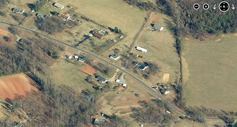
2012 image looking South
Looking South
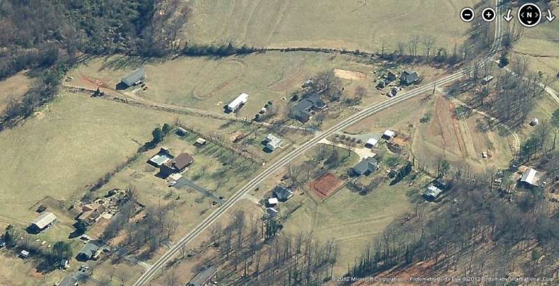
2012 image looking West
June 2001 photos by Tom Page
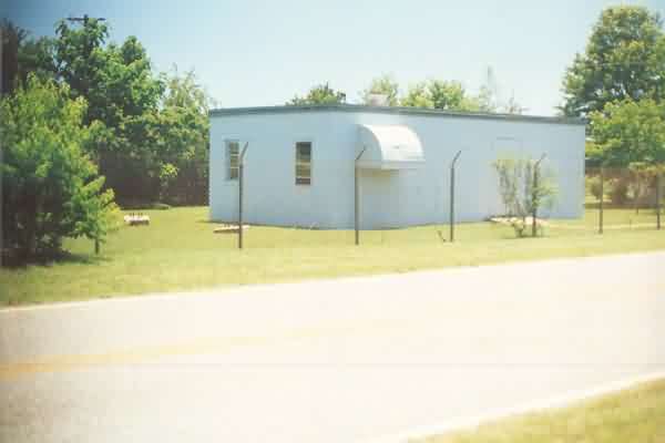
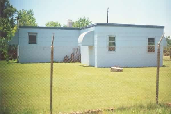
A view of the former Melvin Hill (NC) gap-filler radar annex as it appears today (June 2001).
The road in front of the site, SR 1353, is named "Radar Road." [looking south]
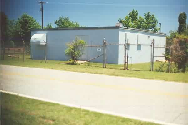
Another view of the former Melvin Hill GFA site. The diesel-generator wing is seen at the rear
right; the radar tower used to stand at the far left. [looking east]
A view of the rear of the old GFA facility, showing the diesel-generator wing at the rear left
(east). [looking west]
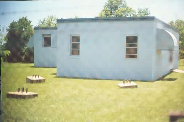
A view of the three radar-tower foundations located at the northeast end of the building.
[looking south-southwest]
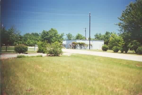
A final view of the former gap-filler radar annex showing its rural setting.
[looking east-northeast]