Recent Photos of McCamey GFA, TX
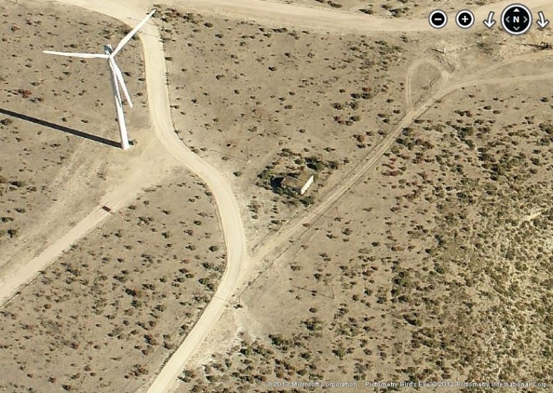
2012 image looking North
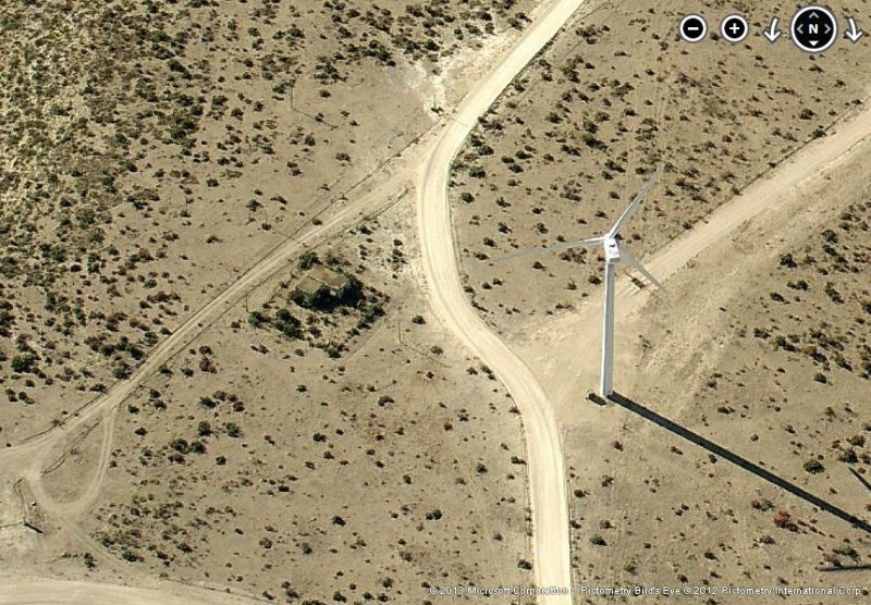
2012 image looking South
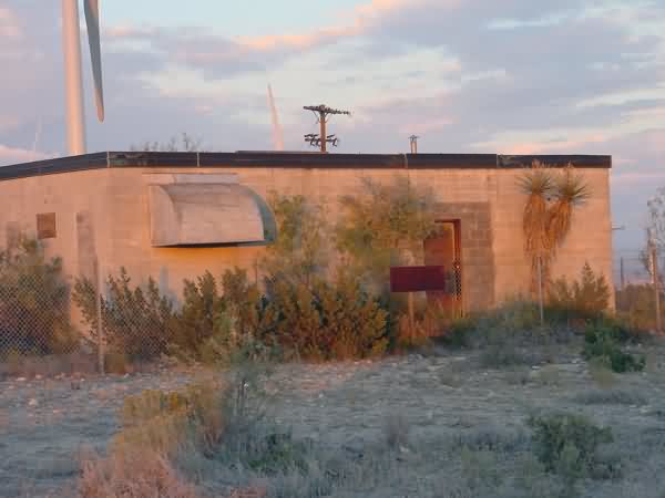
2003 photo contributed by David Renfro
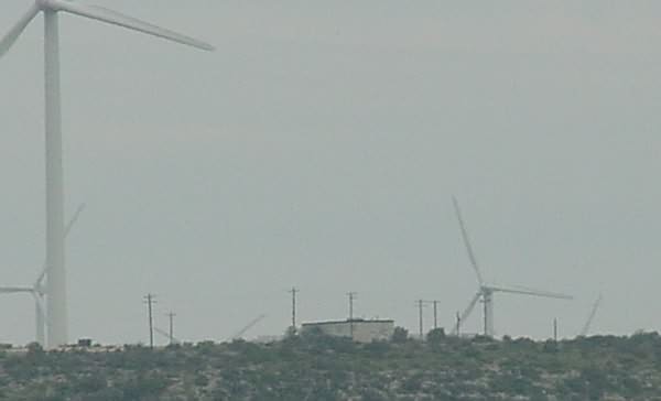
September 2003 photo and text are from Scott Murdock, Radomes Staff
McCamey GFA was photographed from the SE, from US Highway 190.
Photos and text are from Tom Page, Radomes Staff
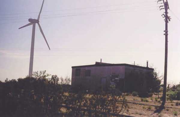
Tom took these photos during a May 2003 road trip. The former McCamey Gap-Filler Annex sits atop Indian Mesa in central Texas, just north of Interstate I-10. The old radar site is now surrounded by the huge windmills of the Indian Mesa Wind Power Facility operated by GE. The land is privately-owned, and access to the mesa is restricted. Photos were taken with permission.
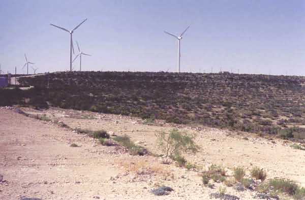
The former gap-filler radar site is to the far right (north) of the windmills. [looking north-northwest]
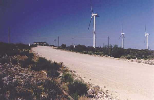
Approaching the site along the access road. [looking north]
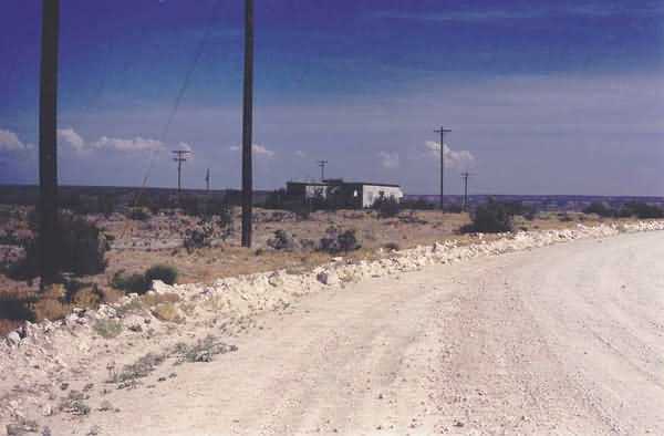
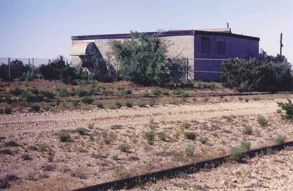
A view of the site from the road that passes by. The radar-equipment section of the building is on the right, and the diesel-generator wing is on the left. [looking east-southeast]
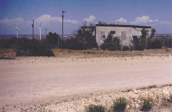
A view of the radar-equipment end of the building, where the radar tower once stood. [looking east]
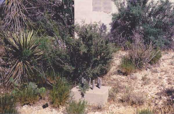
All three radar-tower foundations / footings were still extant. Here, one is seen in the foreground, and a second one is seen behind the foliage a little to the left.
This view shows the radar-equipment section of the building on the right and the diesel-generator wing on the left. The long shadow extending right-left in the foreground is from one blade of a nearby windmill. [looking south]
This view shows the radar-equipment section of the building on the left and the diesel-generator wing on the right. [looking west.]
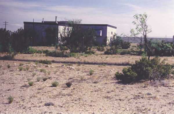
This view shows the radar-equipment section of the building. [looking north]
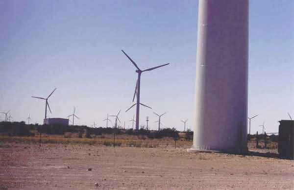
The former GFA is not seen in this photo. Instead, this view shows the neighboring wind power facility atop Indian Mesa. [looking west-northwest]