Recent Photos of Mazama GFA, WA
Drone video of Slate Peak (showing the L-shaped gap-filler radar building foundation) and the road up to Slate Peak:
(one image is shown below for historical / non-commercial purposes only)

.............................................................................................................................................................................................................
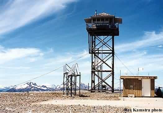
Source: http://www.pbase.com/nolock/image/40166157
Slate Peak, site of the former Mazama Gap-Filler Annex (the GFA building stood near the far right center of the photo). Copyright 2004-2007, John H. Scurlock, Photographer/Pilot, All Rights Reseved. Displayed here for historical (non-commercial) purposes only.
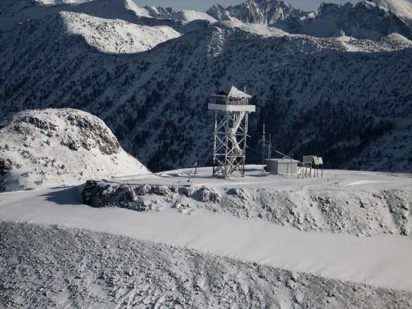
Source: http://www.pbase.com/nolock/image/40166156
Slate Peak, site of the former Mazama Gap-Filler Annex (the GFA building stood near the far right center of the photo). Copyright 2004-2007, John H. Scurlock, Photographer/Pilot, All Rights Reseved. Displayed here for historical (non-commercial) purposes only.


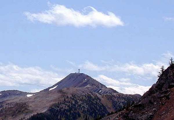
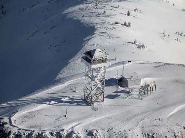
Photo source: http://www.deetour.net/2001/camp/
Slate Peak Lookout, from Foggy Pass (next pass beyond Windy Pass) [by Wayne Deeter]
The summit area, leveled off for the gap-filler radar facility, shows up well from this angle.
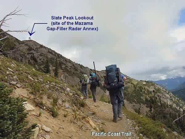
On the Pacific Crest Trail
Photos from Doug`s Dual Sport Motorcycle Page
Photos and captions are from a North Cascades ride on September 22 & 23.
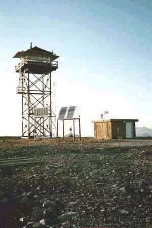
Fire Lookout
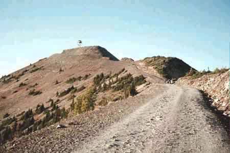
Slate Peak. This was to be a location of an early warning radar site in the 1960`s. The top of the peak was leveled off to accommodate the radar site, but then the site was never built. All that remains is a large concrete slab. The peak has a US Forest Service fire lookout.