Manorville, LI, NY GFA
North
East
South
West
North
East
South
West
April 2001 photos and notes contributed by Tom Page from the "New" Tour, 2001
The former Manorville GFA radar site is located south of NY Rte 111, about halfway between I-495 (LIE) and NY Rte 27, near commercial radio towers, but on the next hill west. A new residential development is going up between the GFA site and the main road (Rte 111).
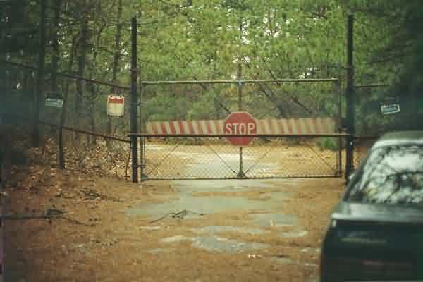
Gate at the GFA site entrance. Access roads turns sharply to the left just past the gate. [Looking roughly west.]
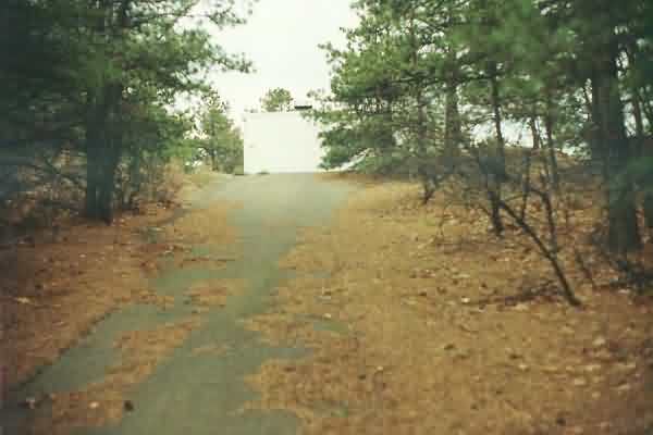
The GFA access road approaching the hill top, with the radar equipment building seen at the top. [View is slightly west of due south.]
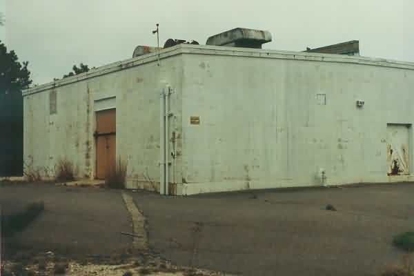
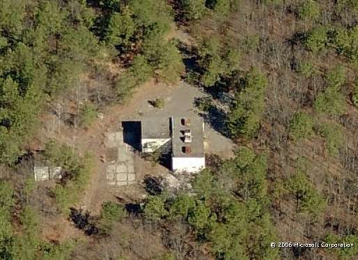
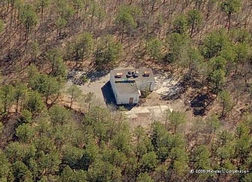
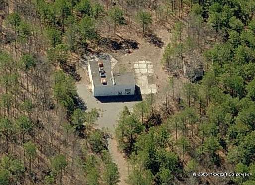
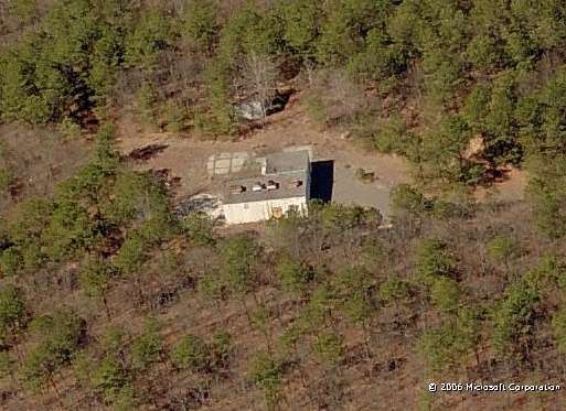
The Manorville GFA building; the diesel generator section is to the right. The sign on the building’s corner says “US Navy Bldg 296,” so apparently the Navy took over this radar site some time after the GFA was decommissioned. However, the site appeared to be unused now. [Looking southwest]
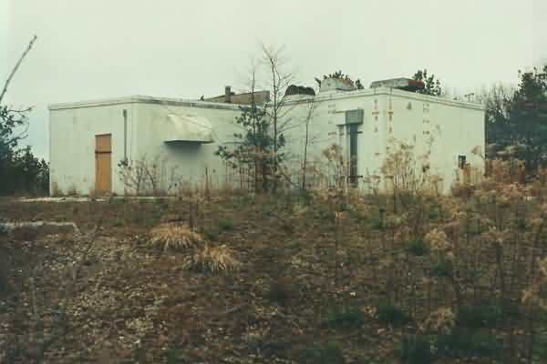
The other side of the GFA building, with the diesel generator section to the left. [Looking northeast]
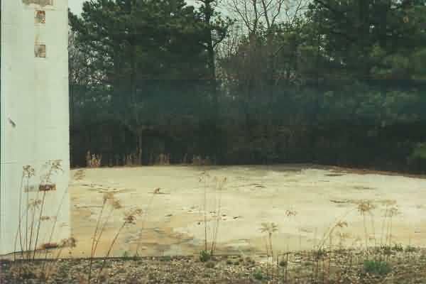
The radar tower area. The tower footings have been removed, and the steel bolts have been cut at the concrete-pad level. The concrete pad is hexagonal-shaped. [Looking south-southwest]