Makah AFS, WA Recent Photos
--------------------------------------------------------------------------------------------------------------------------------------------------------------------
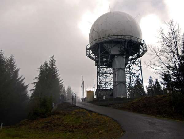
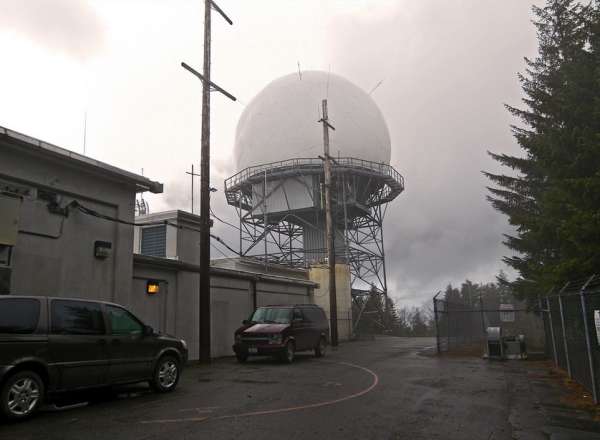
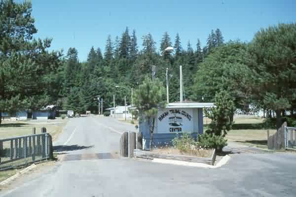
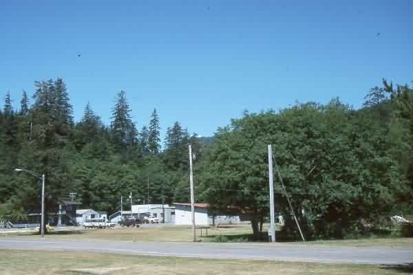
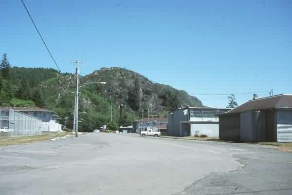
The following six photos were taken by Tom Page on 10 September 2016:

The former cantonment area, now Makah Tribal Center, as seen for the main road (looking north-northwest)

The FAA gate near the top of Bahokus Peak (looking north)

The foundations for the former SP gate-shack

The site where the AN/FPS-26 height-finder radar tower once stood (looking north)


The following three photos source: http://boondogsworld.phanfare.com/
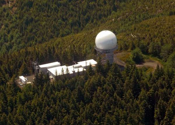
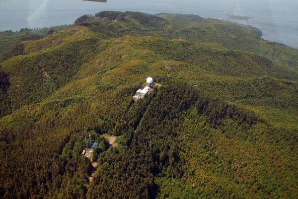
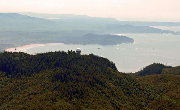
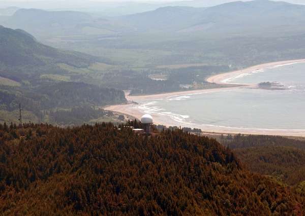
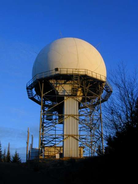
The following four 2008 photos from Bruce Robie`s personal website,
http://albums.phanfare.com/5122194/2261723_2444803#imageID=50774415, used with permission.
source: http://www.flickr.com/photos/30247109@N00/372875391
The site is visible, but barely.
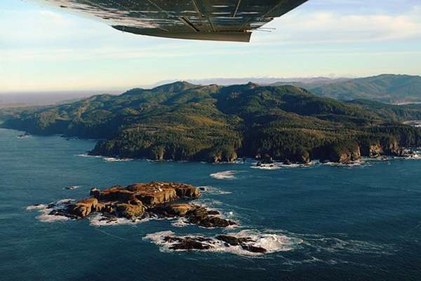
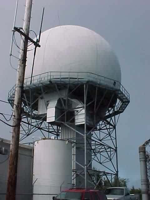
ARSR-4 photo source http://www.ridolfi.com/MakahNALEMP/Site5/index.html
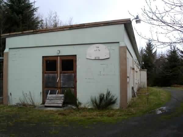
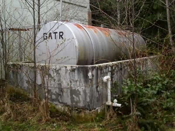
Makah GATR Photos
From the web site http://www.ridolfi.com/MakahNALEMP/Site7/
Contributed by Terry Ham
Summer 2000 photos contributed by Charles E. "Chuck" Rowland
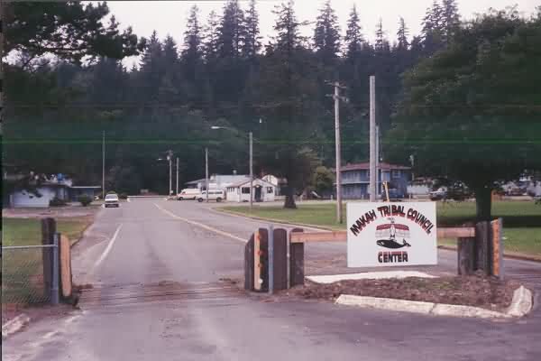
Main Gate
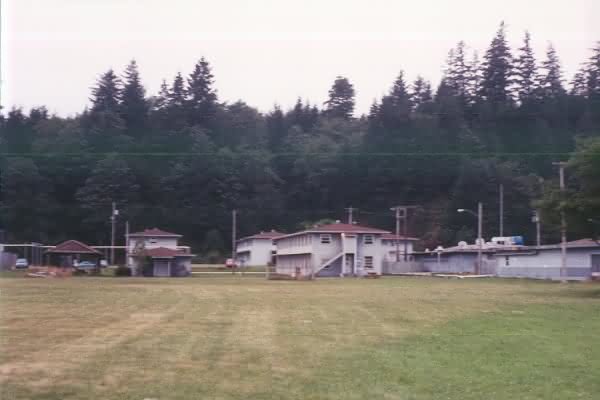
Buildings left of main gate
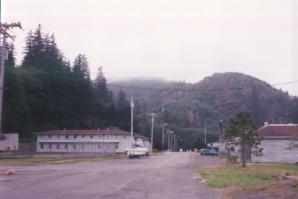
View from west gate, looking east
1996 Photos
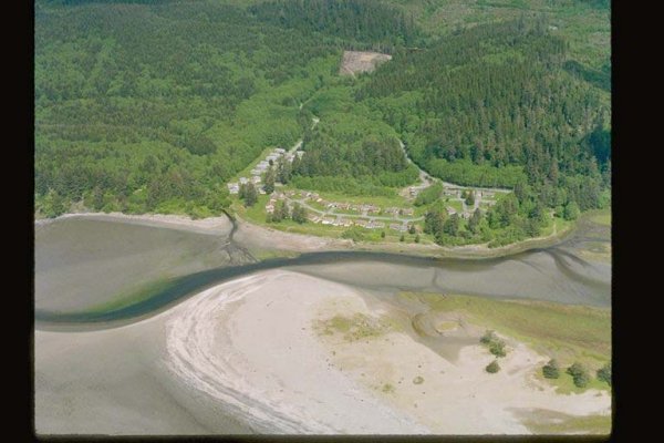
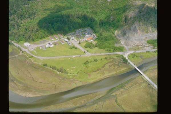
From the website http://www.ecy.wa.gov/apps/shorephotos/index.html