Recent Photos of MacDill AFB, FL

Former Radar Station (2012) - Looking North
The FAA structure that was next to the AN/FPS-7E search radar tower also has now been removed.
Former Radar Station - Looking North
Former Radar Station - Looking East
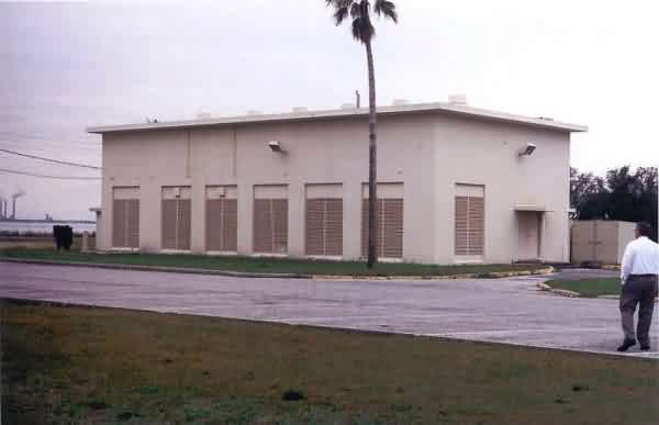
Former Radar Station - Looking South
Former Radar Station - Looking West

Former GATR Site - Looking North

Former GATR Site - Looking East

Former GATR Site - Looking South

Former GATR Site - Looking West
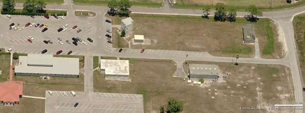
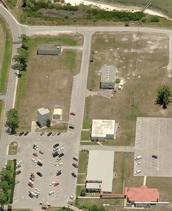
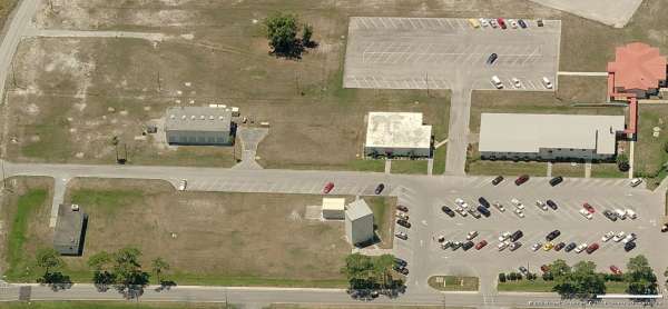
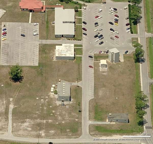
March 2005 photos contributed by Tom Page
These photos were taken on Thursday, 24 March 2005, around midday. Special thanks go to the MacDill AFB Public Affairs Office (especially 2Lt Omar Villareal and Ms Ann Green) for their permission to take these photos and for escorting me to the former radar site. Special thanks also go to my friend Terry Deaton (LtCol, USAF, Ret.) for getting me onto the base in the first place.
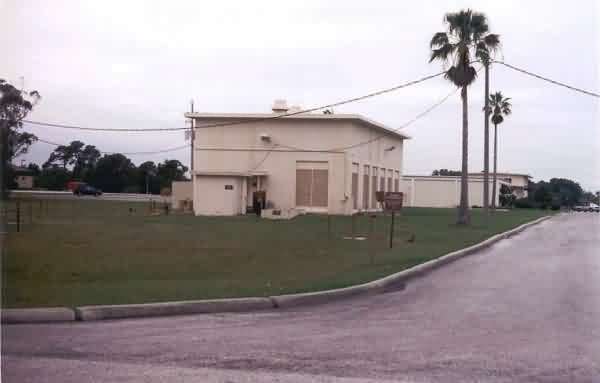
This photo shows the former radar station at MacDill AFB as viewed from the east side. Seen are the diesel power plant, operations, and administration buildings. To the far left is where the AN/FPS-26 height-finder radar / AN/FSS-7 SLBM radar tower used to stand; no traces of this tower remain. [looking west]
This photo also shows the former radar station as viewed from the east side. Seen is the 3-story cinderblock structure that stood immediately next to the AN/FPS-7 search radar tower. [looking west]

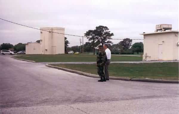
This photo shows the LRR operations building and the administration building, and also the location where the AN/FPS-90 height-finder radar tower used to stand; no traces of this tower remain.
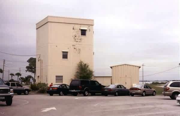
This photo gives another view of the 3-story cinderblock structure that stood immediately next to the AN/FPS-7 search radar tower. Not pictured are the few remaining traces of the radar tower foundations (concrete and rebar) and also one part of the cable trough. [looking east-northeast]
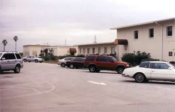
This photo shows the former radar station as viewed from the west side. Seen are the administration building, operations, and diesel power plant. [looking east]
This final photo shows a close-up of the old diesel power plant. [looking southeast]