-------------------------------------------------------------------------------------------------------------------------------------------------------------------------
The following four aerial images are courtesy of Bing Maps (Birds-Eye Views), circa 2021/2022:


--------------------------------------------------------------------------------------------------------------------------------------------------------------------------
March 2005 photo contributed by Tom Page
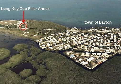
The Long Key Gap-Filler Annex building is still extant, but this ex-radar site is now heavily overgrown by fairly dense underbrush and small trees. Today, the site is accessed from its rear from the neighboring Waste Management, Inc., property; however, the original site access was directly off US Rte 1, as evidenced by the gate in the remaining chain-link fence. The radar tower has been removed, but at least one concrete foundation/footing still remains (the underbrush was too thick to see the other two). The above-ground fuel tank also remains on site. The building appears to be used for storage today -- the door to the radar-equipment section was padlocked, but the door to the diesel-generator wing was missing, allowing a clear view inside.
The photos were taken on Sunday, 20 March 2005, around midday.
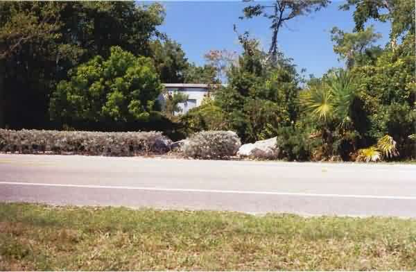
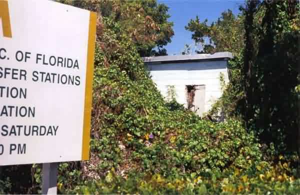
This photo, taken from across US Rte 1, shows how inconspicuous the old gap-filler building is today. [looking northwest]
This photo shows essentially the same view as the first one, but from closer. [looking northwest]
This photo shows essentially the same view as the first two, but from closer still and inside the fence. [looking west]
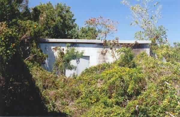
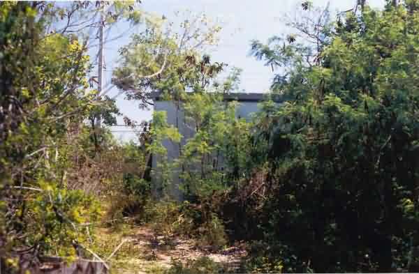
This photo shows the end of the building where the radar tower once stood, as viewed from the driveway to the Waste Management, Inc., property. [looking northeast]
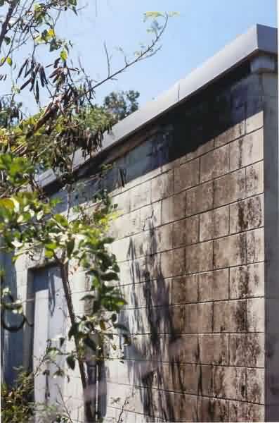
This photo shows the rear of the gap-filler annex and specifically the diesel-generator wing of the building. The view is toward the main highway. [looking southeast]
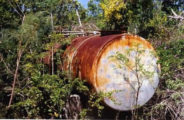
This photo shows the above-ground tank for the diesel fuel. When tapped, it sounded empty. [looking north-northeast]
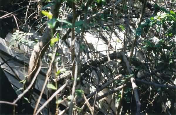
Although it is difficult to see details due to the thick underbrush, this photo is believed to show the fiberglass panels of the dismantled radome. The stack was next to the radar building, on its west side.
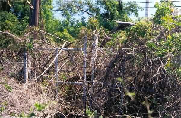
This final photo shows the gate across the original site access. The view is from inside the compound looking toward the main highway. [looking southeast]