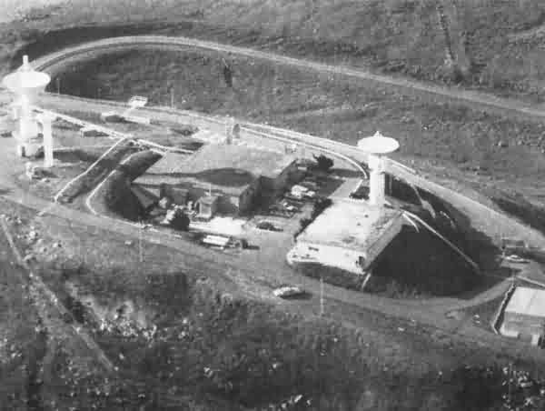
The search radar tower used to stand where the large dish antenna on the far left is now, and the two height-finder radar towers stood on either side of the Operations building near the photo center. The building by the smaller dish antenna was the diesel power plant. The living and admin quarters were down at Vandenberg AFB. The 669th AC&W Squadron (Radar Squadron) that operated here originally was out at Santa Rosa Island AFS; the relocation took place in 1963, for budgetary reasons, reportedly.
Photo contributed by Big Jim Truman
-----------------------------------------------------------------------------------------------------------------------------------------------------------------------

The former Lompoc AFS, now telemetry ground station for the Western Test Range, as seen from Sudden Road (looking east)
Courtesy of "Google Street View" (April 2012)
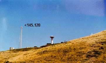
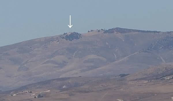
Photo Source: http://www.californiacoastline.org/cgi-bin/image.cgi?image=2778&mode=big&lastmode=sequential&flags=0