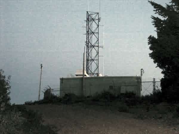
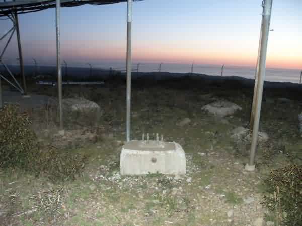
Recent Photos of Laytonville, CA GFA (P-37A)
Photos from the FUDS Report
Source: http://www.corpsfuds.com/php/siteindex.php?site=J09CA0844&state=California
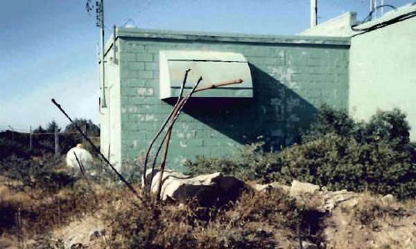
April 2004 photos & notes contributed by Tim Tyler
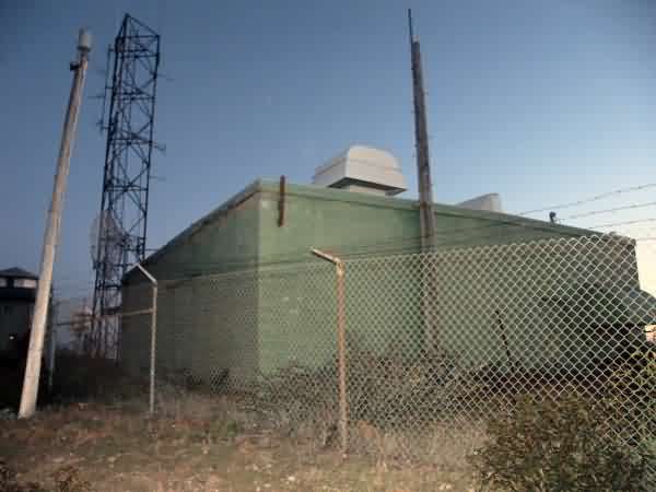
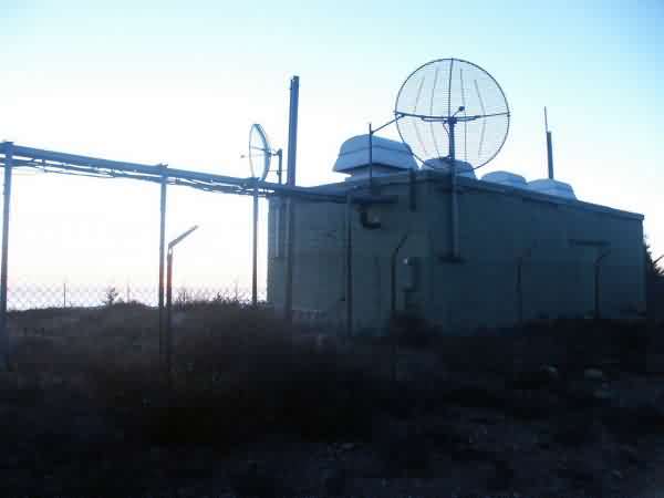
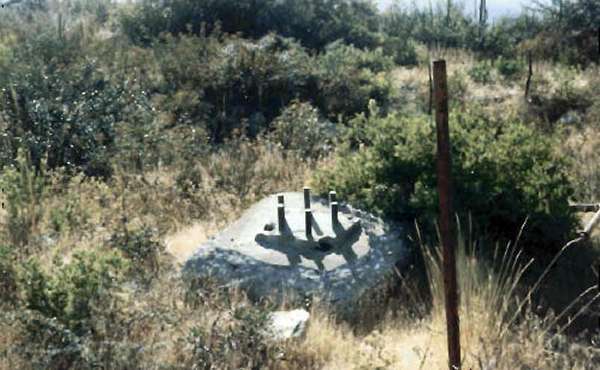
Photos from the FUDS Report
Source: http://www.corpsfuds.com/php/siteindex.php?site=J09CA0844&state=California
April 2004 photos & notes contributed by Tim Tyler
Tim writes:
This was NOT a fun adventure, but it`s over with... I got there just in time (and my starting point was home, about 150 driving miles away), though I still had to do way too much running for this sort of Cold War archaeology to just be an avocation for me. I`m thinking Radomes, Inc. needs to buy me a nice 500cc dirt bike (and trailer) to assist with documenting similar sites in the future. [Ed. note: Hey Tim, don`t hold your breath!]
If I`d shown up 15 or 20 min later to the site, I probably would have aborted due to sunset & not knowing how far up the GFA was from the gate. But yes, I would probably have gone back the next day to see the damn thing...
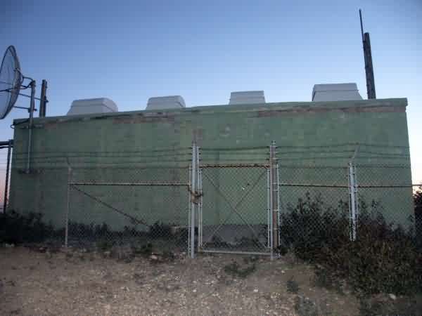
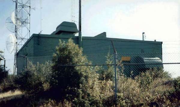
By the way, I can`t confirm or deny that the former GFA is used as a BLM/USACE/USGS radio site, as the web page indicates. Usually federal radio sites have signs up indicating that you can get into big trouble for messing with federal radio systems & facilities, etc. However, I do know that BLM, USACE, etc. have a radio site on Cahto Peak.
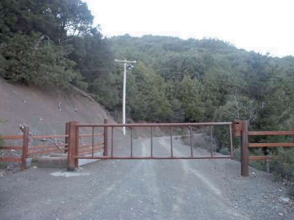
Gate blocking unauthorized vehicle access from the rest of the road -- about 2 miles down from the various radio sites.
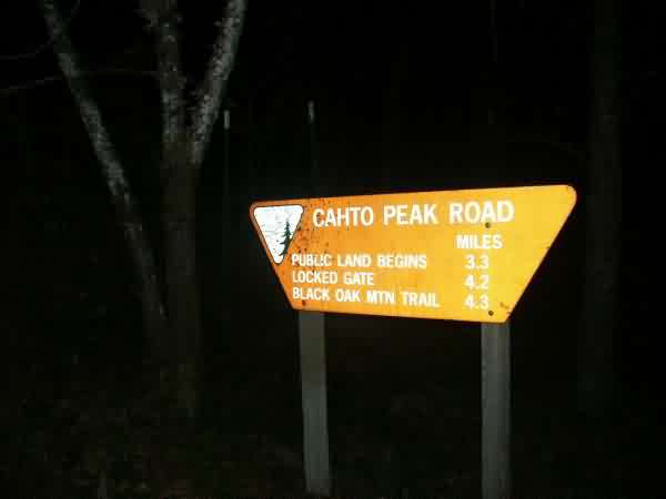
Sign at base of Cahto Mtn
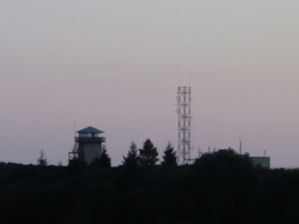
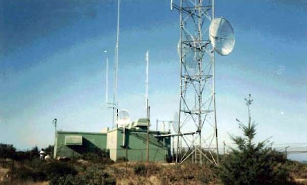
Distant view of fire spotter tower (left) & old GFA site on the right
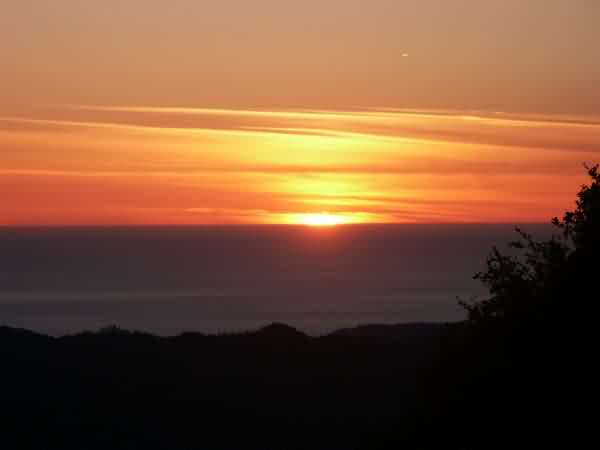
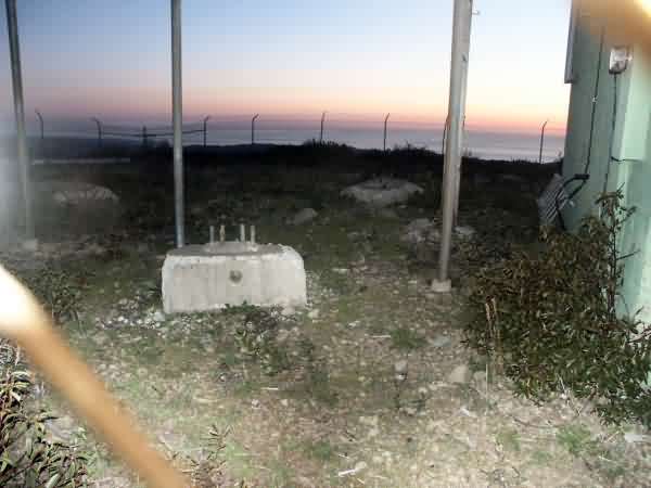
Sunset over the Pacific