Recent Photos of Lathrop Wells GFA, NV
Source: http://www.corpsfuds.com/php/siteindex.php?site=J09NV0843&state=Nevada
Contributed by Tom Page
Source: http://www.corpsfuds.com/php/siteindex.php?site=J09NV0843&state=Nevada
Contributed by Tom Page
The former Lathrop Wells, NV (SM-163B) gap-filler radar annex is located on top of a large hill about 3 miles east of the town of Armagosa Valley, and about a mile north of US Rte 95 from which the site is accessed. The access road is gated near the main highway, but the land is not restricted. A mile-plus walk is required to reach the site; the road is hard-packed gravel and well-maintained. The typical grade was about 20% or so. It took me roughly 30 minutes to walk to the top of the hill (coming down was a bit easier ... and faster).
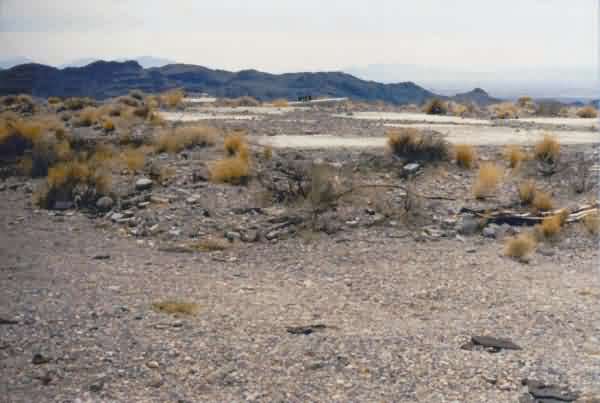
As seen in the photos that follow, this former air-defense radar facility is no longer extant save for the building`s concrete pad and the radar tower`s three concrete foundations / footings. None of the chain-link fence remained. There is a nice view from the top of the hill.
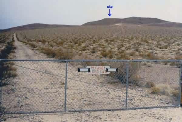
This photo, taken next to US Rte 95, shows the radar-site access road and the large hill on which the radar was situated. [looking just east of due north]
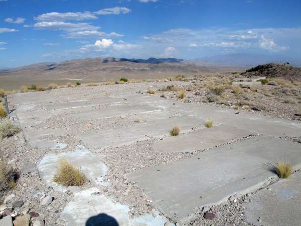
This photo shows the concrete pad for the radar building. The three radar-tower foundations are at the far end, and the diesel-generator wing is to the far right. [looking southeast]
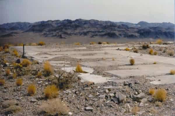
This photo also shows the concrete pad for the radar building, with the diesel-generator wing in the foreground. Pads were provided for up to four generators. [looking east]
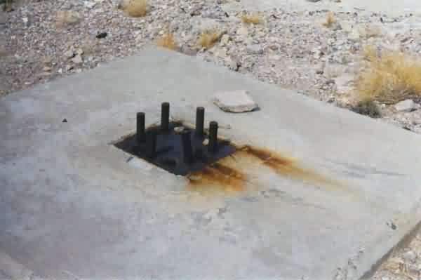
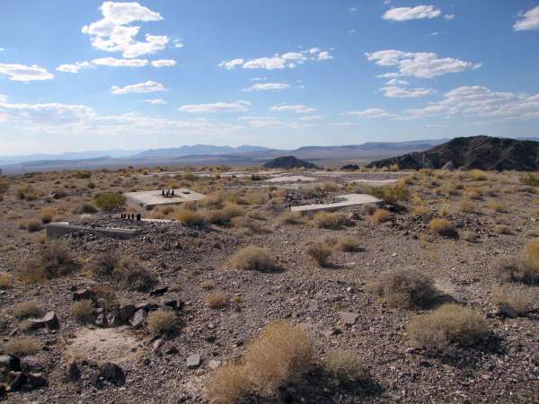
This photo shows a close-up of one of the three radar-tower foundations / footings located at the southeast end of the facility.
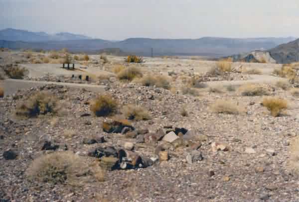
This photo shows all three of the radar-tower foundations / footings and the GFA building behind them. [looking west]