Recent Photos of Las Cruces AFS, NM
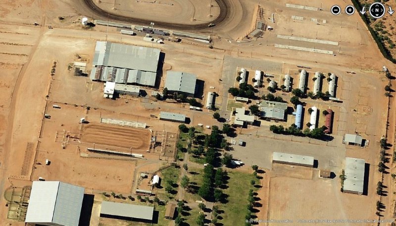
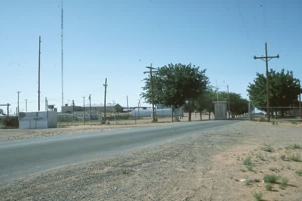
2012 image looking South
2012 image looking West
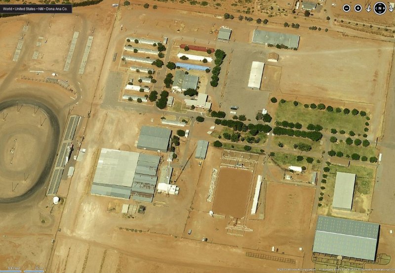
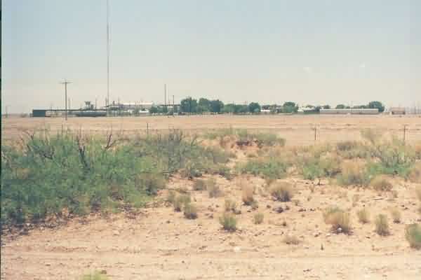
2012 image looking South
2012 image looking West

-----------------------------------------------------------------------------------------------------------------------------------------------------------------------
May 2001 photos and notes contributed by Tom Page
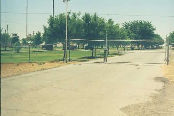
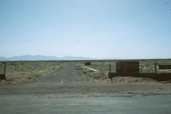
The access road leading to the site from the main road (now I-10). [looking south-southeast]
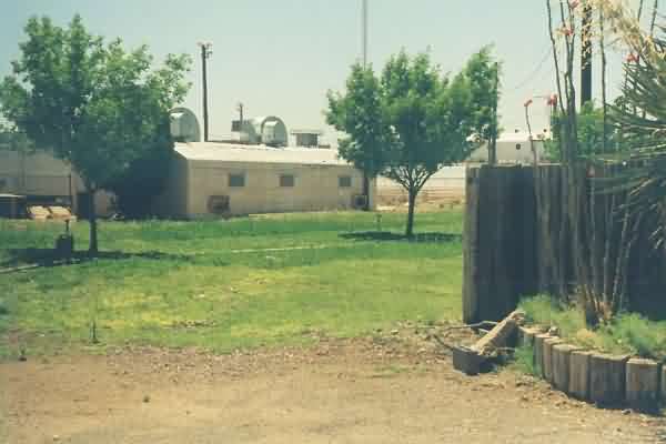
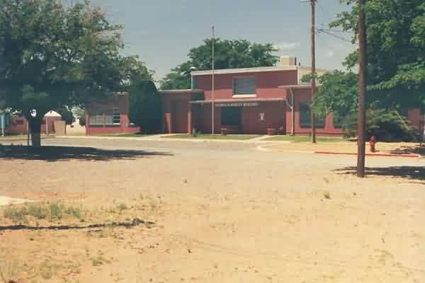
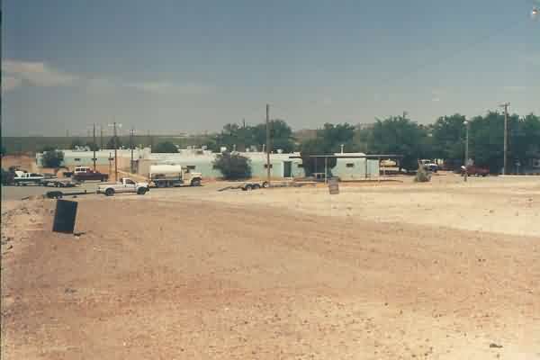
A general view inside the former AF Station. [looking south-southeast]
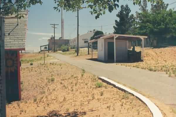
The old Rec Hall. [looking west-southwest]
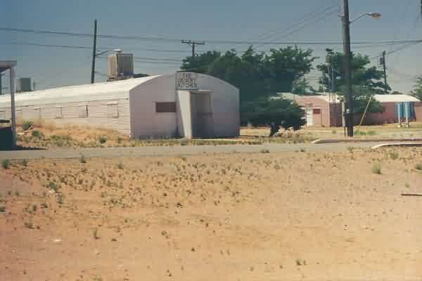
Maybe the old Dining Hall (?). [looking southwest]
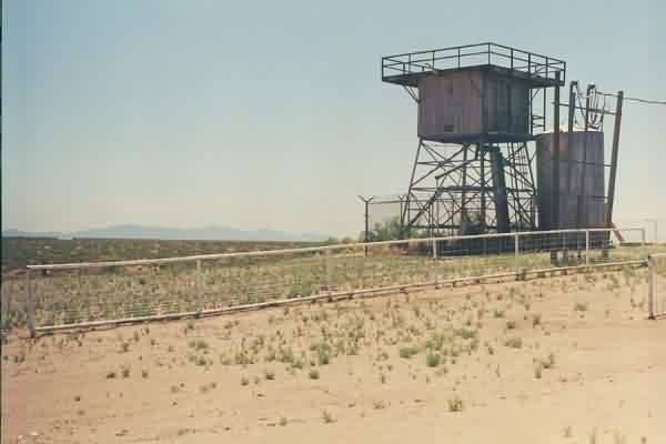
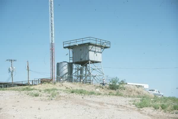
The AN/MPS-14 height-finder radar tower (now home to owls). [looking southeast]
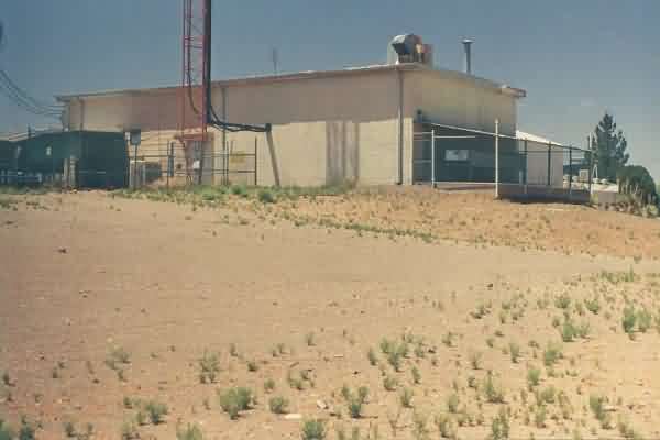
The LRR Operations building. [looking west-southwest]
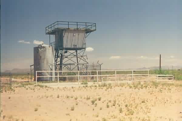
Another view of the AN/MPS-14 height-finder radar tower. [looking north-northeast]
Rows of Quonset huts, possibly used as barracks originally (?). [looking west]
The LRR Operations / Radar area, as viewed from the west side. [looking east]
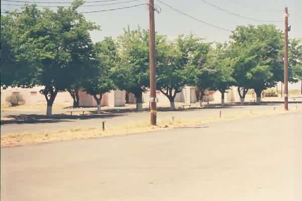
Another row of Quonset huts on the west side of the station. [looking southwest]
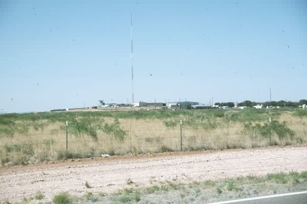
The overall AF Station, as seen from the main highway (now I-10) north of the site. [looking south]
May 1989 photos by Mark Morgan