Larson AFB, WA Recent Photos
-----------------------------------------------------------------------------------------------------------------------------------------------------------------------
The following five photos were taken by Tom Page on 18 September 2016:

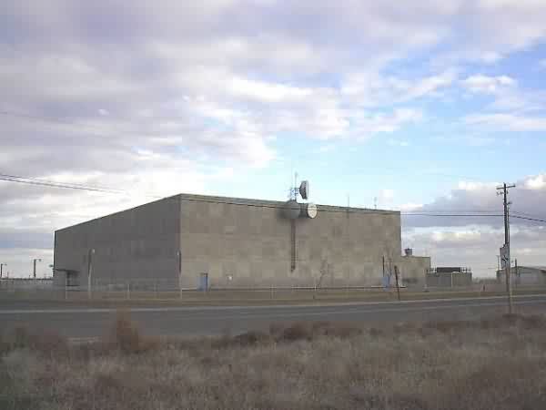
The south side of the former SAGE Direction-Center Blockhouse (looking northeast)
..........
The north side of the former SAGE Direction-Center Blockhouse (looking southwest)

The former GATR site at Larson AFB [east side], reportedly maintained by the 637th Radar Squadron at Othello AFS, WA (looking west-southwest)

GATR site [west side] (looking southeast)

GATR site [east side] (looking west)
-----------------------------------------------------------------------------------------------------------------------------------------------------------------------
The following eight aerial photos are courtesy of "Google Maps" 3D views.

Former SAGE Direction Center blockhouse, looking north.
...

Former SAGE Direction Center blockhouse, looking east.
...
Former SAGE Direction Center blockhouse, looking south.
...
Former SAGE Direction Center blockhouse, looking west.
...
Former GATR Site, looking north.
Reportedly, the GATR Site radio and data-link equipment was maintained by the 637th Radar Squadron at Othello AFS, WA (Z-40).
...
Former GATR Site, looking east.
...
Former GATR Site, looking south.
...
Former GATR Site, looking west.
...
-----------------------------------------------------------------------------------------------------------------------------------------------------------------------
The next three photos below (from 2012) are courtesy of "Google Earth Street View."


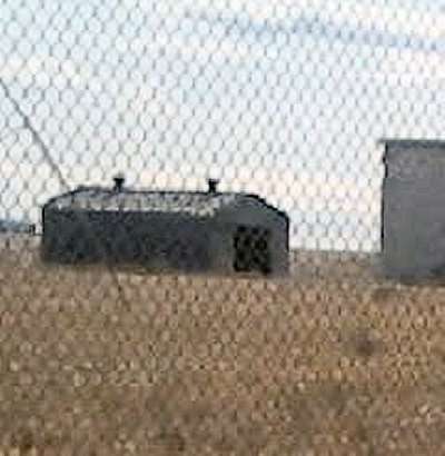
2009 photos of the Larson AFB GATR site contributed by Brian Sewell
Brian writes: I was out on a drive around the back side of the base. I turned onto Rd 10 NE off of Stratford Rd., and no more than 500 yards down the road I found the GATR site behind a house. So, with my cell phone camara, I took 2 pictures (the only ones I could get). The port of Moses Lake controls the area. Runway 32R is at the other end of the site.
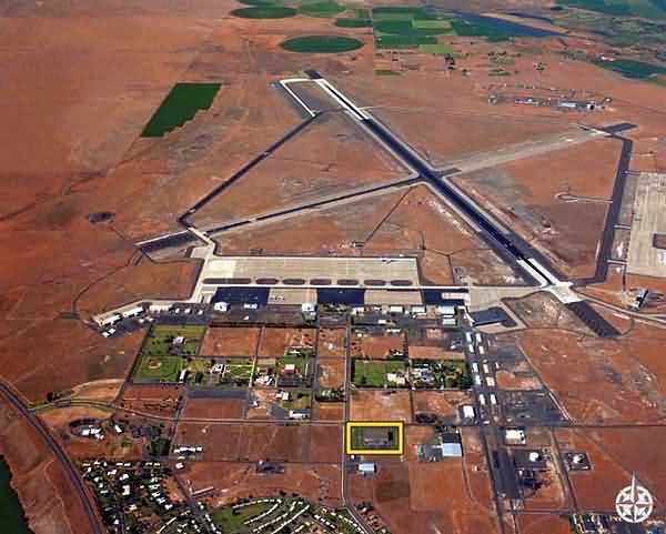
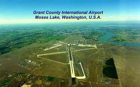
This is an aerial photo of what was once the Spokane Air Defense Sector (SPADS) SAGE Direction Center at the former Larson AFB, Washington
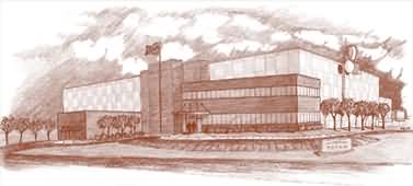
This is an artists conception of the remodeled SAGE DC.
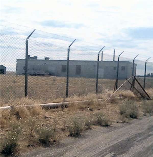
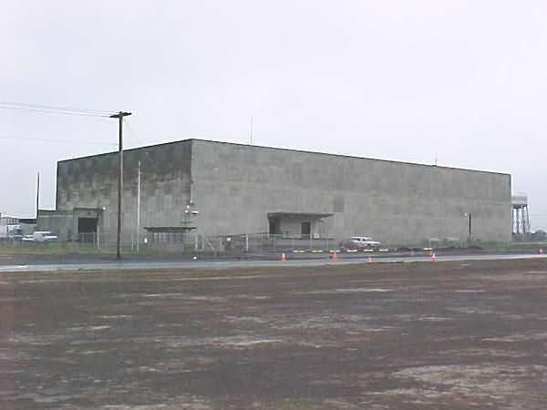
The photo below was taken on 10 Mar 01 by David Dorman
The building has only within the last couple of years been converted to civilian use. The company that either owns or leases the building is "Titan" a company who provides secure off-sire storage of business records - a perfect use for the building. Luckily nothing has been disturbed at the site including the security fence. I did notice what seemed like newer style microwave dishes on the building, maybe the reason the building was not converted was that the FAA and military still used it for a communications relay site???
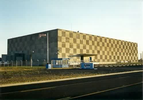
The photo below, taken at another angle on 05 Apr 03, is from Dick Hazelmyer, SSgt (Ret), USAF
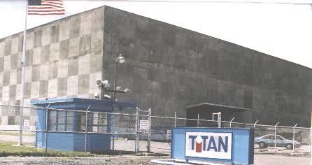
The following two photos were from another contributor:
Here is an aerial view (looking south) of the former Larson AFB, WA. Based upon the "TerraServer" imagery, the old SAGE DC blockhouse is located within the group of buildings seen at roughly the 2:00 position w.r.t. the runways.


