Recent photos - Lake City AFS, TN
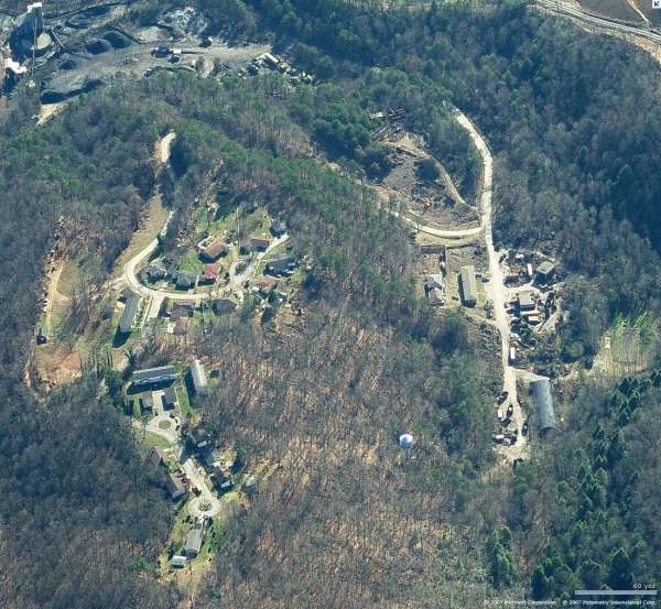
Radar Ops, Looking North
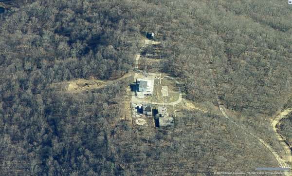
Radar Ops, Looking East
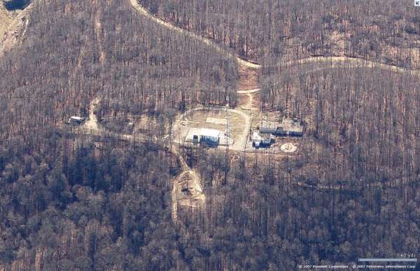
Radar Ops, Looking South
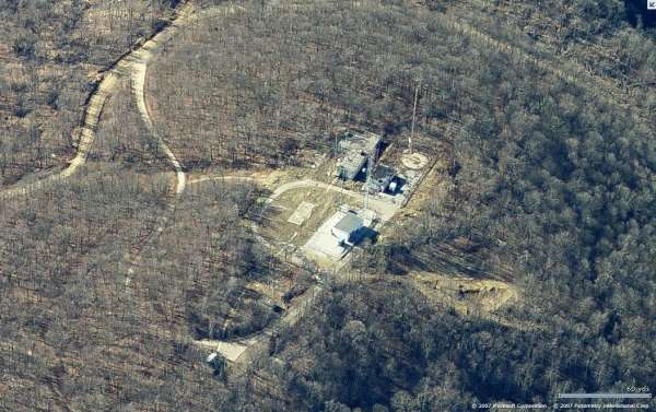
Radar Ops, Looking West
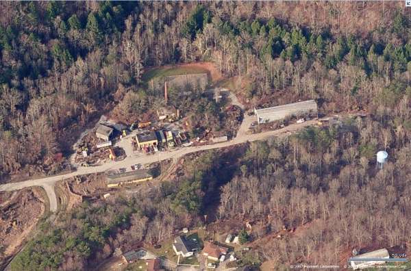
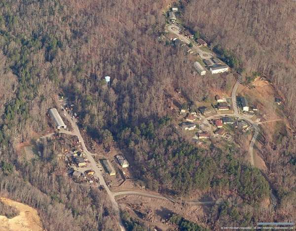
Cantonment area, Looking West
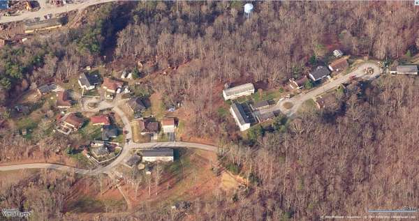
Housing area, Looking West
Cantonment & Housing areas, Looking North
Cantonment & Housing areas, Looking East
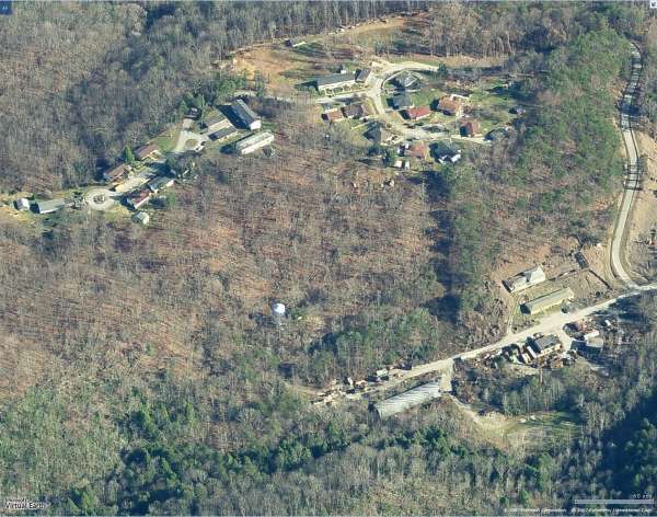
Cantonment & Housing areas, Looking South
Top camp heating plant.
Photo source: http://www.flickr.com/photos/tennessee-mary/226060550/
Top camp operations.
Photo source: http://www.flickr.com/photos/tennessee-mary/226060554/in/photostream/
Top camp power plant
Photo source: http://www.flickr.com/photos/tennessee-mary/226060552/in/photostream/
July 2004 photos contributed by Tom Page
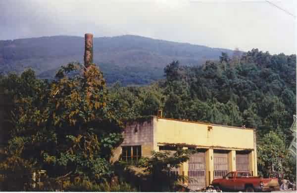
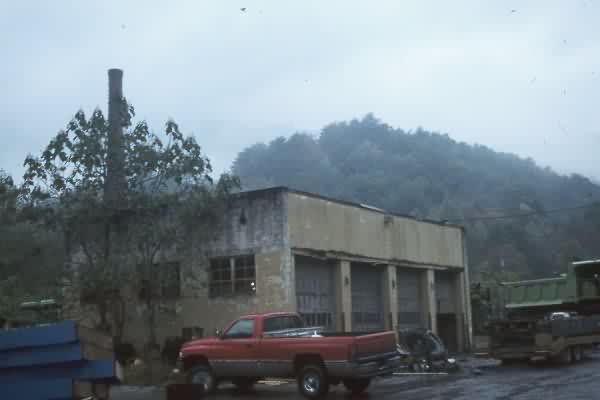
This photo, taken from the lower camp, shows the summit of Cross Mountain in the distance, with the Motor Pool (and Heating Plant smokestack behind it) in the foreground. [looking west-northwest]
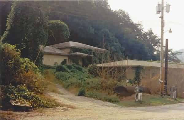
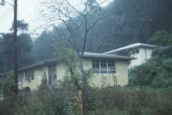
This photo shows the Admin. building (right) and another building (Rec. Hall?) in the cantonment area in the lower camp. [looking east]
This photo shows the former Aerial Tramway landing in the lower camp. A present-day storage shed sits over the middle part of the concrete deck. Many rusty metal sections of the old tram system were lying in a pile nearby (not photographed). [looking southwest]

While difficult to see, this photo shows the mountain-facing end of the former Aerial Tramway landing in the lower camp. Much of the lower and upper camps is now heavily overgrown by vegetation.
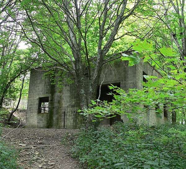
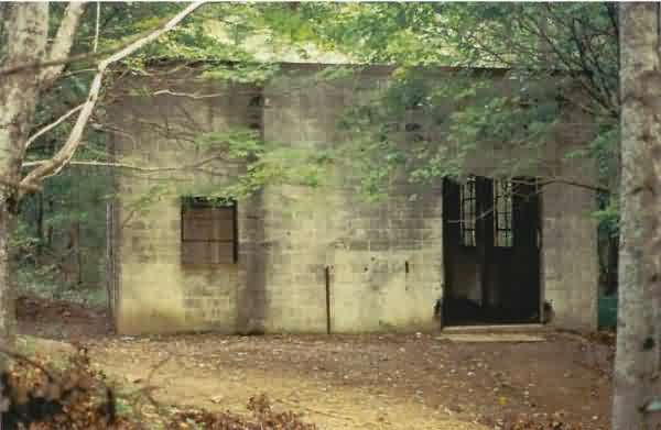
This photo, taken at the upper camp, shows the former LRR Operations building. [looking west north-west]
This photo also shows the former LRR Operations building, as seen from the site of the former Tech Supply building. [looking west]
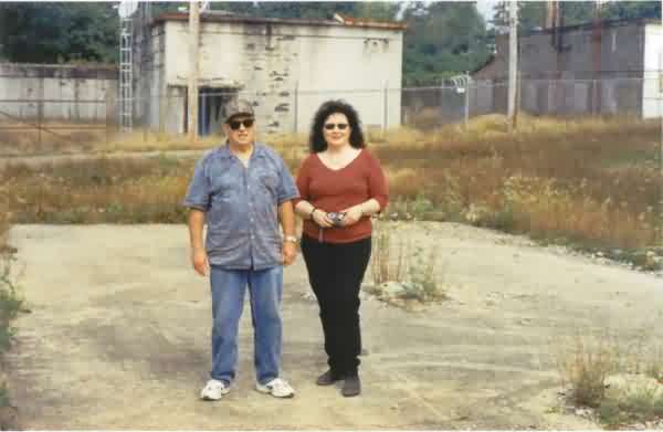
This photo shows my tour guides for this trip -- Ms. Carol Moore of Knoxville and Mr. Roy Daugherty of Briceville. Roy was stationed at Lake City AFS from 1955 until 1957, and served as a Security Policeman (SP) for the 663rd AC&W Squadron. He married a local girl, and settled in the area after retiring from the Air Force. Roy had a number of good "war stories" to share while we toured the top camp.
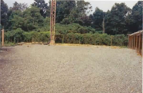
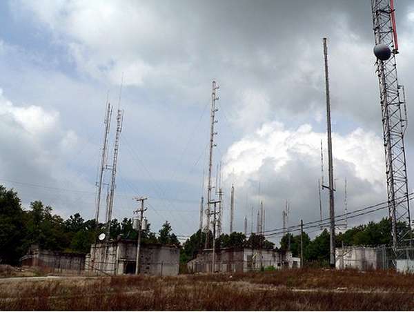
This photo shows the location of the AN/CPS-6B Search Radar tower by the back fence. Only the concrete pad remains now (seen better in the next two photos). [looking west]
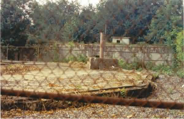
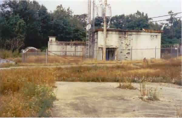
This photo shows the concrete foundations of the AN/CPS-6B Search Radar tower, with the LRR Operations building in the background. [looking south]
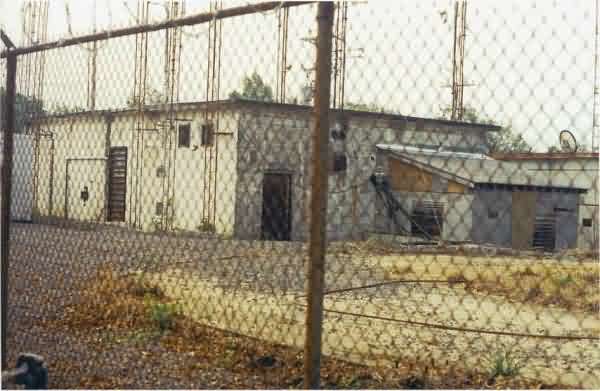
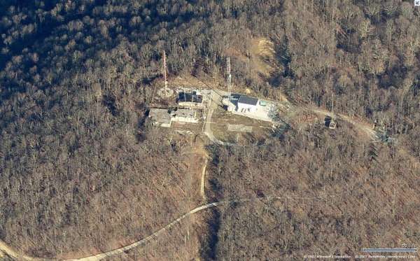
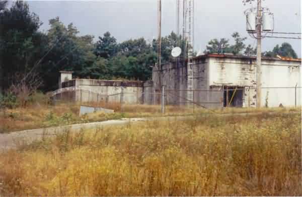
This photo shows the foundations for the AN/CPS-6B Search Radar tower in the foreground and the diesel Power Plant building in the background. (Note: The foundations of the old AN/FPS-6 Height-Finder Radar tower, to the east, were no longer extant; a large modern radio facility now occupies its site.) [looking southeast]
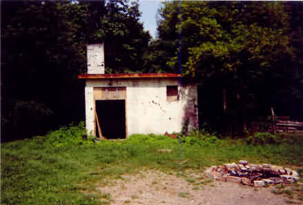
This photo shows the top-camp Heating Plant (Steam Plant). Unlike its lower-camp counterpart, its smokestack is no longer standing. [looking west]
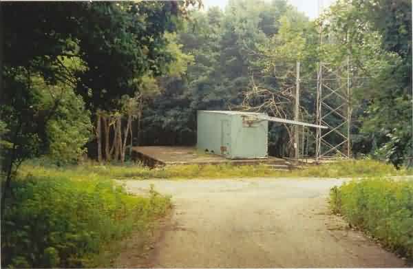
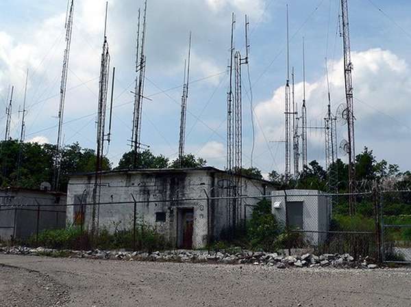
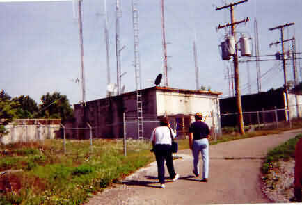
This photo shows the top-camp Aerial Tramway landing. A small modern-day radio facility now sits on its concrete deck. The tram car docked on its right (south) side where a radio tower now stands. [looking east-southeast]
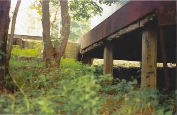
This photo shows the the underside of the top-camp Aerial Tramway landing and the tram-car docking area. [looking west-northwest]
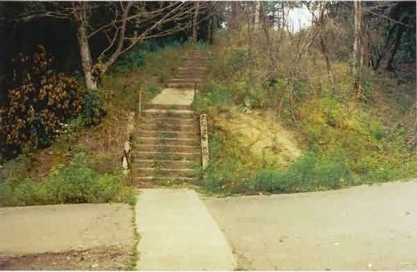
This final photo shows the walkway that leads away from the top-camp Aerial Tramway landing. The dining hall (not pictured) was located just past the rise; only its foundations, still with some floor tiles, now remain. [looking west]
The following photos, posted on January 12, 2004, were contributed by
Carol Moore
The following July, 2000 photos contributed by Tom Page
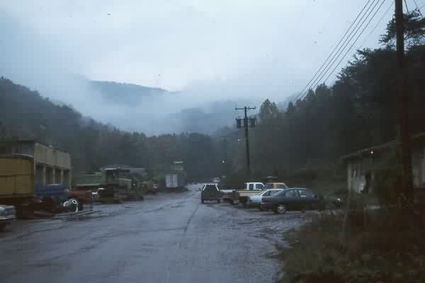
Cantonment area, Cross Mt. in the distance. Road to right leads to housing area.
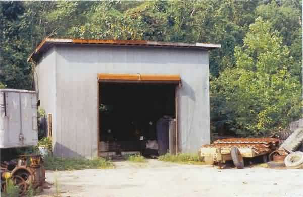
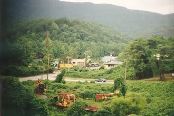
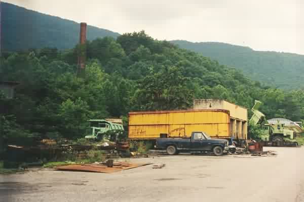
Cantonment area. Now used by a coal company.
Cantonment area. Cross Mt. in the distance, left. Radar/ops were on its summit.
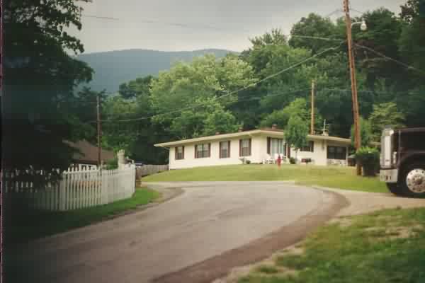
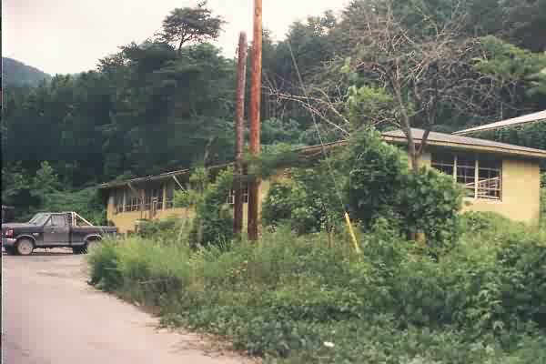
Housing area.
The following October 1997 photos contributed by Mark Morgan