Recent Photos of Kingston, IN GFA
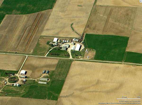
Looking North
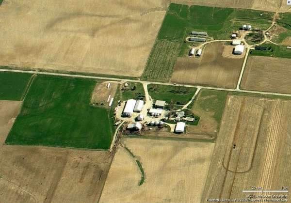
Looking South
July 2004 photos & notes contributed by Tom Page
Looking North
Looking South
July 2004 photos & notes contributed by Tom Page
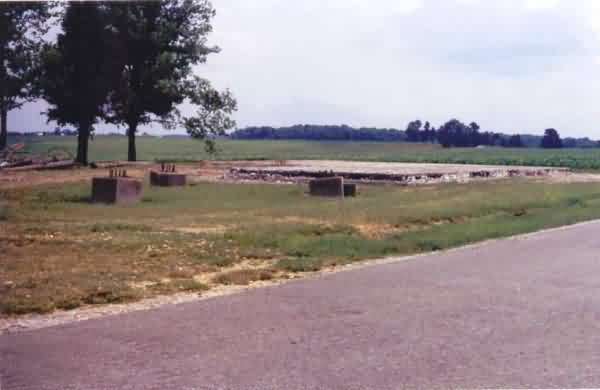
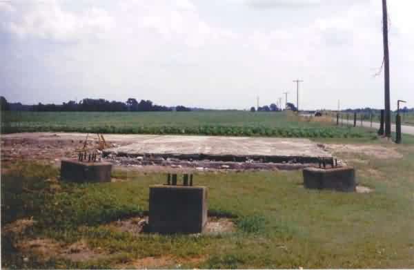
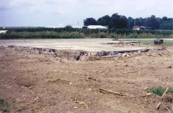
These photos were taken on Saturday, 3 July 2004, just a little over a week after the site was demolished to make room for a cellular-telephone tower. All that remained at the time was the concrete floor pad and the three radar-tower footings. Several vents and some roofing / ceiling materials were piled up on the north side of the site. All fencing had been removed save for the south pole of the old entrance gate.
This photo shows the site from County Road 300. (looking northeast)
This photo shows the three radar-tower footings in the foreground and the radar building pad behind them. (looking due east)
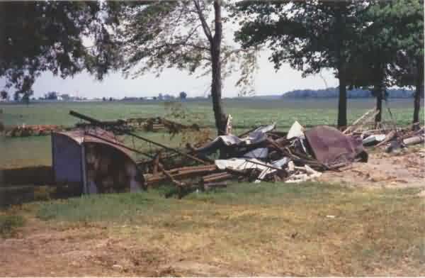
This photo shows several vents and some roofing / ceiling materials piled up on the north side of the site. (looking northeast)
This photo shows the northeast corner of the old GFA facility, where the diesel-generator wing was in the foreground. The three radar-tower footings are seen to the far right (west), and County Road 300 is seen just beyond the site. (looking southwest)
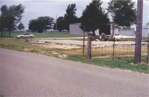
This final photo shows the site from the road, with the farm in the background. The last remaining piece of fence -- one pole from the access gate -- is seen near the photo`s center. (looking northwest)