Recent Photos of Key West NAS, FL
-----------------------------------------------------------------------------------------------------------------------------------------------------------------------
The first eight aerial photos (circa 2017) are courtesy of Microsoft's Bing Maps

Looking North
...

Looking East
...

Looking South
...

Looking West
...

former GATR Site, Looking North
...

former GATR Site, Looking East
...

former GATR Site, Looking South
...

former GATR Site, Looking West
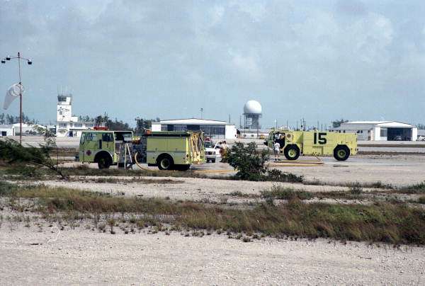
source: http://fpc.dos.state.fl.us/dalemcdonald/dm3095.jpg
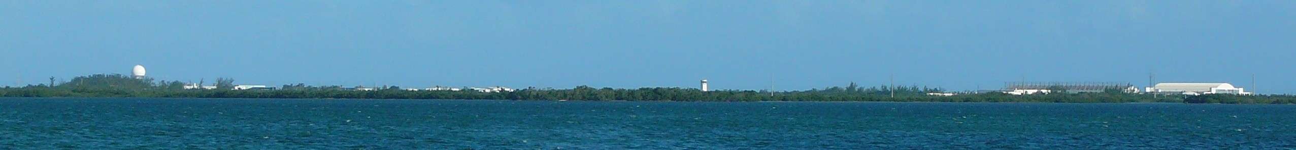
Source: http://en.wikipedia.org/wiki/NAS_Key_West
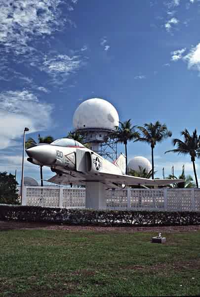
The ARSR-4 radome is seen in the background.
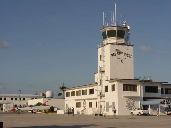
source: http://eddiemorris.com/blue_angels.htm
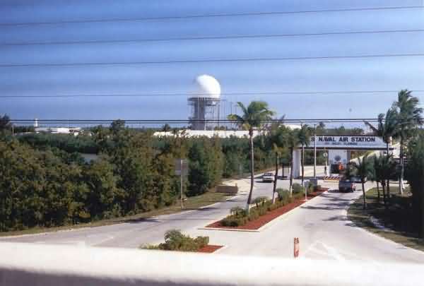
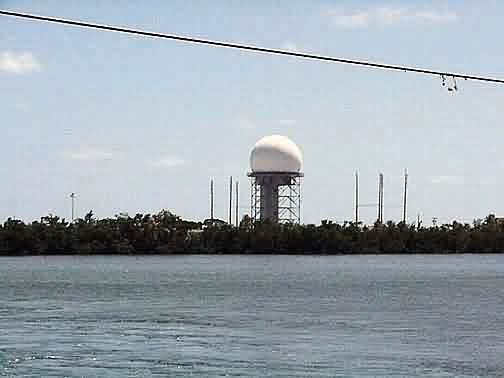
March 2005 photo contributed by Tom Page
This photo was taken from the US Rte 1 overpass in front of the main gate of the Naval Air Station around mid afternoon on Sunday, 20 March 2005. [looking south-southeast]
The above photo from the website http://www.missilesofkeywest.bravepages.com/aadcp.htm
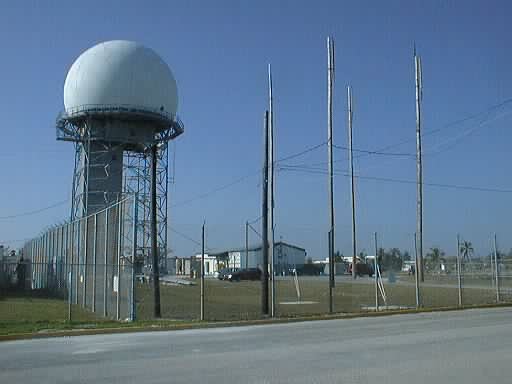
The above photo contributed by Bob Silverio
1999 photo above contributed by 84 RADES
---------------------------------------------------------------------------------------------------------------------------------------------------------------------------