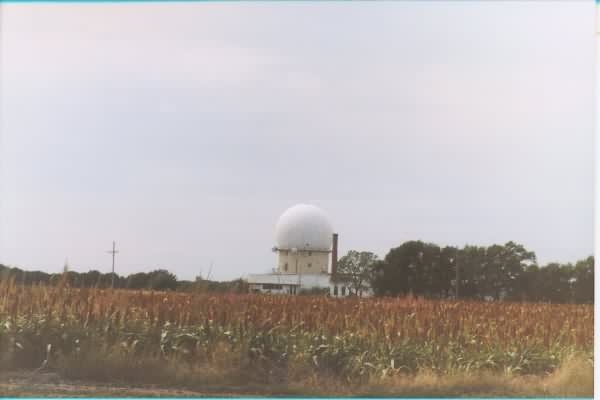
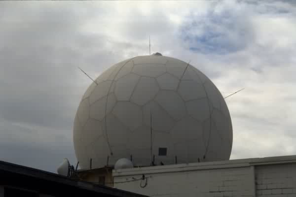
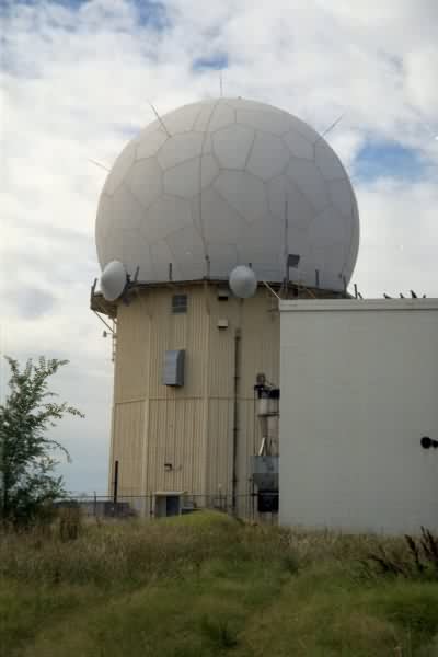
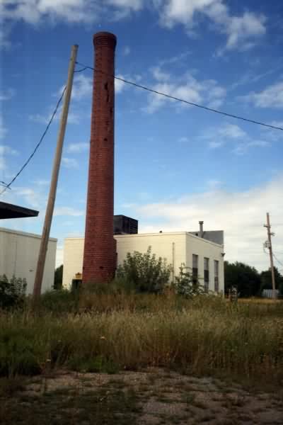
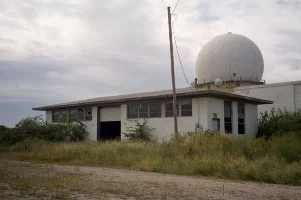
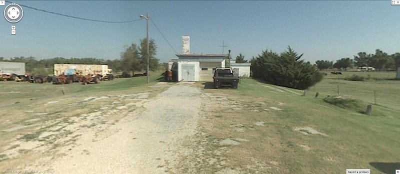
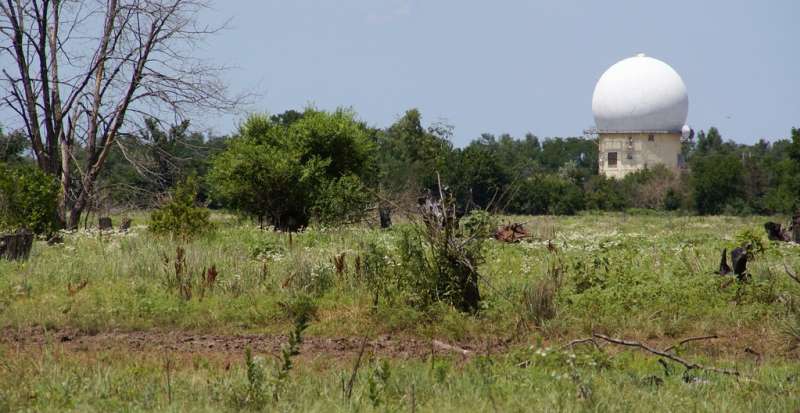
Hutchinson AFS, KS Recent Photos

2015 aerial view of the radar site, courtesy of Bing Maps (looking west)
..................................................................................................................................................................................................
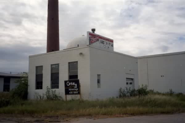
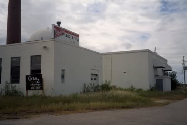
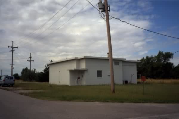
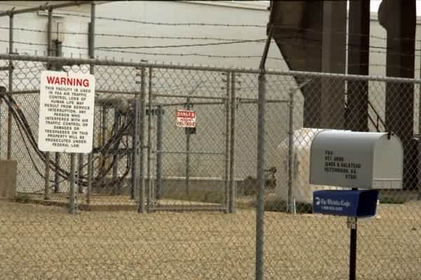
GATR Site
(c) Copyright - All Rights Reserved - Displayed here for historical / non-commercial purposes only.
.
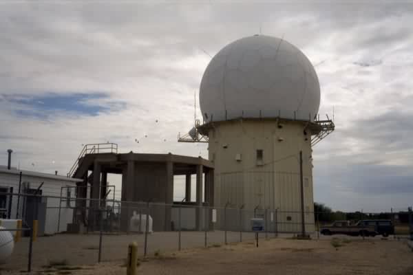
July 2021 photos by Tom Page
Many recent photos were already available here, so I am adding just three new photos showing the remaining AN/FPS-6A height-finder radar tower tower foundations and cable trough. This was the height-finder radar tower that was due south of the search radar tower. The second height-finder radar tower, due east of the search radar tower, had no visible remains.
.

Cable trough leading to the AN/FPS-6A height-finder radar tower (looking south-southwest)
.

One tower mount for the height-finder radar (looking northwest)
.

Same cable trough, looking back at the Operations building (looking north-northeast)
.
------------------------------------------------------------------------------------------------------------------------------------------------------------------------
.
contributed by Michael Kersten