Recent Photos of Humboldt Mtn, AZ FAA Site
source: http://www.flickr.com/photos/24234579@N05/2759586699/
© Copyright - All Rights Reserved. Displayed here for historical, non-commercial purposes only.
source: http://www.flickr.com/photos/24234579@N05/2759586699/
© Copyright - All Rights Reserved. Displayed here for historical, non-commercial purposes only.
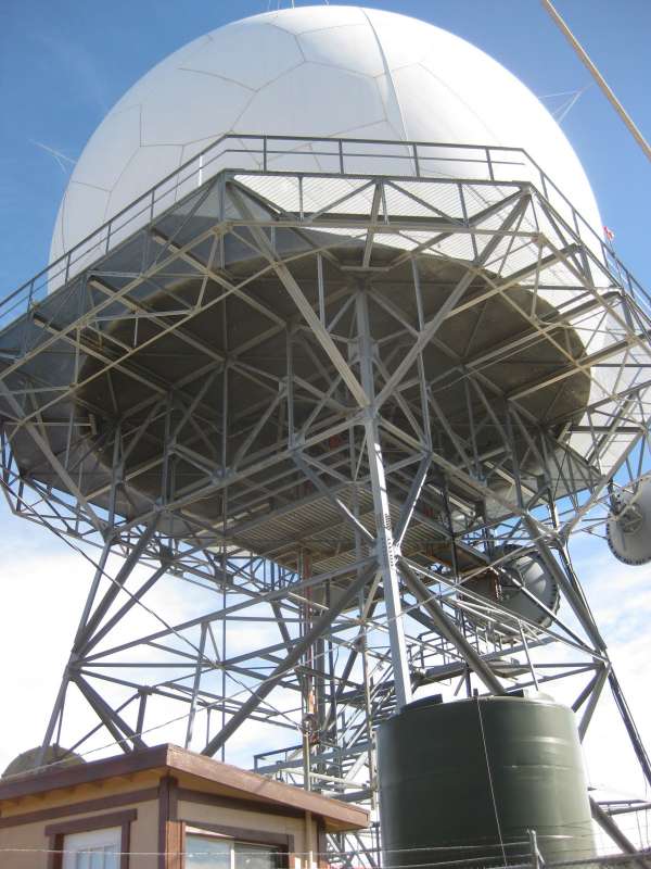
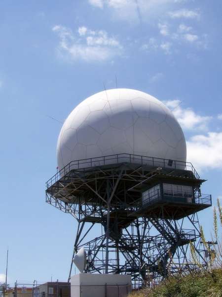
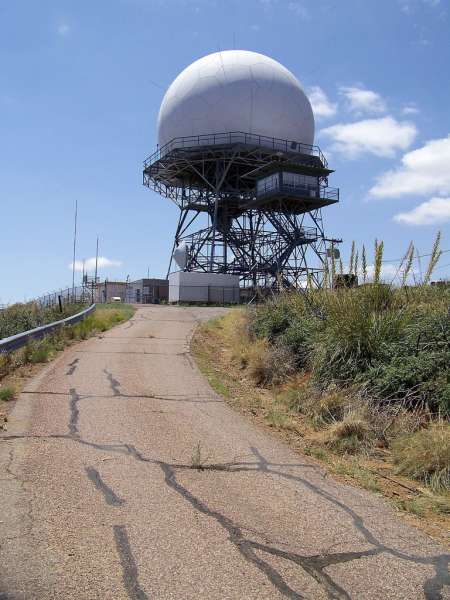
source: http://www.azride.com/AZride.html
July 2002 photos by Tom Page
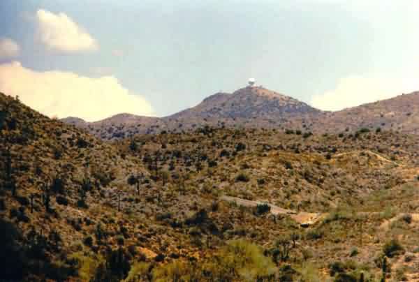
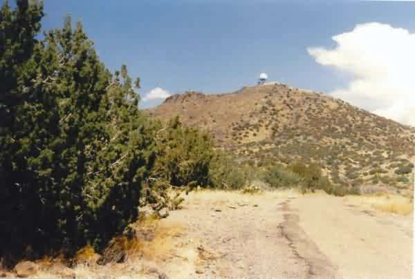
This photo shows one of the first views of this FAA radar facility that one gets driving north from Cave Creek. [looking north-northwest, using a 300-mm telephoto lens]
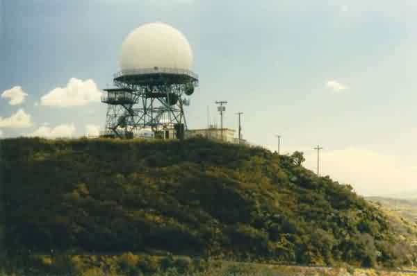
This photo shows the radar site from the west side. Note the access road in the foreground; it is a paved one-lane road all the way to the top. The only barrier is the locked gate in the fence around the radar site itself at the very top. [looking east-northeast]
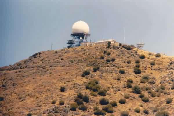
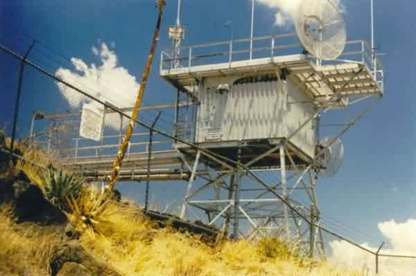
This photo shows the site from the access road near the top. The old AN/FPS-90 height-finder radar tower is seen to the right. The tower to the left is a fire-lookout tower. [looking northeast]
This photo shows the site from the north side. The fire-lookout tower is seen in front-left of the ARSR-1E search radar tower. [looking south-southeast]
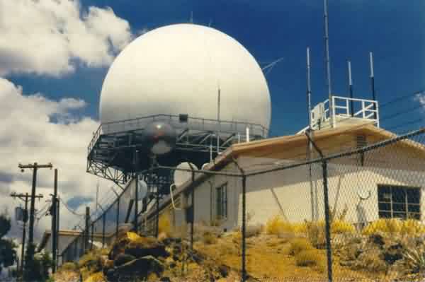
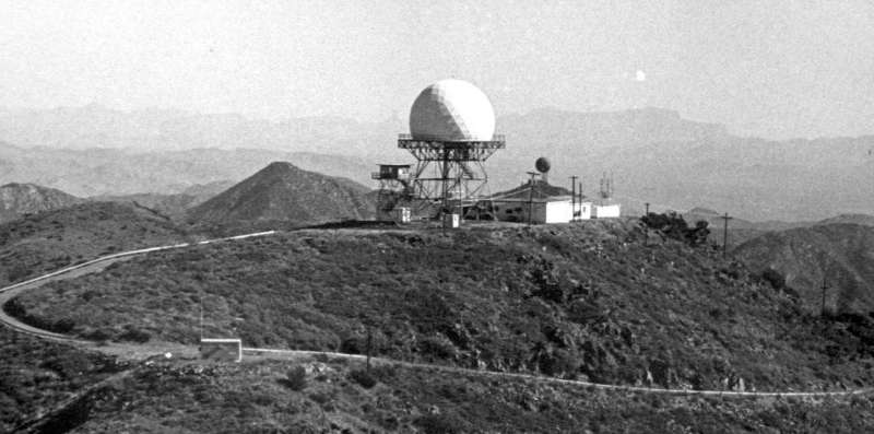
This photo shows the ARSR-1E and its "new" radome, and the FAA building below. [looking north-northeast]
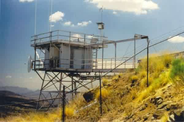
This photo shows the former Air Force height-finder radar tower, now used to support microwave dishes and other antennas. [looking south-southwest]
This photo shows the west side of the old AN/FPS-90 tower, located at the southeast corner of the radar site. [looking ~ east]
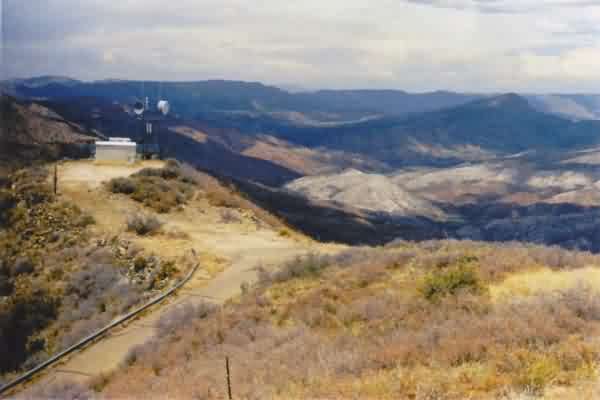
This final photo shows the scenery to the north, and a small building just to the northwest that *might* have been TELCO. [looking north]
Source: http://www.airwaypioneers.com/archives/album.htm
The ARSR-1 had the old-style radome when this photo was taken. All of our other "Recent Photos" show the new-style radome.
© Copyright - All Rights Reserved - Displayed for Historical / Non-Commercial Purposes Only.